Property Record
1801 Bluebird Ln, Columbia, SC 29204


NEARBY LISTINGS FOR SALE OR LEASE
-
-
View all Columbia listings for sale on LoopNet.com
Property Detail
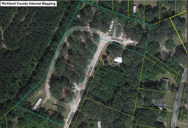
1801 Bluebird Ln
Columbia
Mossley Hills
Columbia, SC
Richland
14205-09-01
South Carolina
Residentialnec
2.58 AC
X
Outer East Central
45079C0261L
DEMOGRAPHICS near 1801 Bluebird Ln
1 Mile
3 Mile
5 Mile
2024 Total Population
5,999
62,383
154,726
2029 Population
6,112
63,674
157,478
Pop Growth 2024-2029
+ 1.88%
+ 2.07%
+ 1.78%
Average Age
43
40
37
2024 Total Households
2,547
27,033
63,083
HH Growth 2024-2029
+ 1.92%
+ 2.16%
+ 1.80%
Median Household Inc
$41,759
$40,008
$45,766
Avg Household Size
2.20
2.20
2.10
2024 Avg HH Vehicles
2.00
1.00
2.00
Median Home Value
$129,897
$179,390
$196,933
Median Year Built
1965
1967
1969
Nearby Places
Map Layers
Map Styles
 Street
 Aerial
- Restaurants
- Banks
- Shops
- Fitness
- Groceries
PUBLIC TRANSPORTATION
COMMUTER RAIL
Columbia Amtrak Station (Silver Star - Amtrak)
DRIVE
WALK
Distance
Columbia Amtrak Station (Silver Star - Amtrak)
12 min
5.7 mi
AIRPORT
Columbia Metro
DRIVE
WALK
Distance
Columbia Metro
31 min
15.2 mi
Freight Ports
North Charleston Terminal
DRIVE
WALK
Distance
North Charleston Terminal
130 min
111.5 mi
SALE & LEASE HISTORY
LISTING DATE
SALE/LEASE

Sep 04, 2019
For Sale
Jun 14, 2019
For Sale
Feb 01, 2019
For Sale
Nearby Properties
Address
Land Use
TOTAL SIZE
Lot Size
Zoning
Address
Land Use
TOTAL SIZE
Lot Size
Zoning
501,365 SF
13.28 AC
O-I
Address
Land Use
TOTAL SIZE
Lot Size
Zoning
20,434 SF
17.20 AC
C-1
Address
Land Use
TOTAL SIZE
Lot Size
Zoning
354,813 SF
20.66 AC
RM-HD
Address
Land Use
TOTAL SIZE
Lot Size
Zoning
100 SF
156.42 AC
RSF-2
Address
Land Use
TOTAL SIZE
Lot Size
Zoning
172,390 SF
19.87 AC
GC
Address
Land Use
TOTAL SIZE
Lot Size
Zoning
313,244 SF
12.75 AC
RM-HD
Address
Land Use
TOTAL SIZE
Lot Size
Zoning
260,572 SF
15 AC
GC
Address
Land Use
TOTAL SIZE
Lot Size
Zoning
231,426 SF
10 AC
C-3
Address
Land Use
TOTAL SIZE
Lot Size
Zoning
100 SF
15.68 AC
RG-2
Address
Land Use
TOTAL SIZE
Lot Size
Zoning
169,291 SF
18.97 AC
C-3
Address
Land Use
TOTAL SIZE
Lot Size
Zoning
200,609 SF
17.97 AC
GC
Address
Land Use
TOTAL SIZE
Lot Size
Zoning
239,450 SF
16.85 AC
GC
Address
Land Use
TOTAL SIZE
Lot Size
Zoning
129,721 SF
3.72 AC
C-3
Address
Land Use
TOTAL SIZE
Lot Size
Zoning
183,237 SF
13.65 AC
GC
Address
Land Use
TOTAL SIZE
Lot Size
Zoning
147,062 SF
13.20 AC
GC
Address
Land Use
TOTAL SIZE
Lot Size
Zoning
259,948 SF
14.40 AC
RM-HD
Address
Land Use
TOTAL SIZE
Lot Size
Zoning
202,048 SF
20.98 AC
C-3
Address
Land Use
TOTAL SIZE
Lot Size
Zoning
2,456 SF
5 AC
C-1
Address
Land Use
TOTAL SIZE
Lot Size
Zoning
96,189 SF
2.22 AC
C-1
Address
Land Use
TOTAL SIZE
Lot Size
Zoning
23,379 SF
3.76 AC
M-1
Address
Land Use
TOTAL SIZE
Lot Size
Zoning
113,510 SF
11.60 AC
GC
Address
Land Use
TOTAL SIZE
Lot Size
Zoning
55.91 AC
M-1
Address
Land Use
TOTAL SIZE
Lot Size
Zoning
223,692 SF
12 AC
GC
Address
Land Use
TOTAL SIZE
Lot Size
Zoning
20 AC
C-3
Address
Land Use
TOTAL SIZE
Lot Size
Zoning
67,200 SF
1.72 AC
C-1
Address
Land Use
TOTAL SIZE
Lot Size
Zoning
156,185 SF
12.68 AC
GC
Address
Land Use
TOTAL SIZE
Lot Size
Zoning
51,353 SF
7.01 AC
GC
Address
Land Use
TOTAL SIZE
Lot Size
Zoning
90,430 SF
0.42 AC
C-1
Address
Land Use
TOTAL SIZE
Lot Size
Zoning
132,097 SF
10.63 AC
GC
Address
Land Use
TOTAL SIZE
Lot Size
Zoning
145,081 SF
22.36 AC
C-3
The World's #1 Commercial Real Estate Marketplace
Connect with us
© 2026 CoStar Group
The information above has been obtained from sources believed reliable. While we do not doubt its accuracy we have not verified it and make no guarantee, warranty or representation about it. It is your responsibility to independently confirm its accuracy and completeness. Any projections, opinions, assumptions, or estimates used are for example only and do not represent the current or future performance of the property. The value of this transaction to you depends on tax and other factors which should be evaluated by your tax, financial, and legal advisors. You and your advisors should conduct a careful, independent investigation of the property to determine to your satisfaction the suitability of the property for your needs.