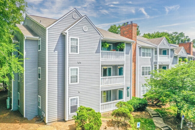
Property Record
1811 Paces River Ave, Rock Hill, SC 29732

Property Detail
1811 Paces River Ave
6620501001
PACES RIVER APTS(19.80AC)
Commercialnec
YORK
PUD
South Carolina
C and X Area of minimal flood hazard, usually depicted on FIRMs as above the 500-year flood level.
19.80 AC
2025
Outlying York County
2025
Charlotte
060913
Charlotte-Concord-Gastonia, NC-SC
16,872 SF
NEARBY LISTINGS FOR SALE OR LEASE
-
-
View all Rock Hill listings for sale on LoopNet.com
DEMOGRAPHICS near 1811 Paces River Ave
1 mile
3 mile
5 mile
2025 Total Population
6,299
44,565
124,931
2030 Population
6,621
46,831
131,794
Pop Growth 2025-2030
+ 5.11%
+ 5.08%
+ 5.49%
Average Age
38
39
39
2025 Total Households
2,890
18,061
48,924
HH Growth 2025-2030
+ 4.98%
+ 4.96%
+ 5.57%
Median Household Inc
$67,378
$74,098
$78,626
Avg Household Size
2.20
2.40
2.50
2025 Avg HH Vehicles
2.00
2.00
2.00
Median Home Value
$334,641
$384,561
$404,679
Median Year Built
1996
1996
2000
Nearby Places
Map Layers
Map Styles
 Street
 Aerial
Layers
 Traffic
 Biking
Places
Listings with unknown addresses are not visible on the map
- Restaurants
- Banks
- Shops
- Fitness
- Groceries
PUBLIC TRANSPORTATION
AIRPORT
Charlotte/Douglas International
Drive
Walk
Distance
Charlotte/Douglas International
34 min
20.0 mi
Freight Ports
North Charleston Terminal
Drive
Walk
Distance
North Charleston Terminal
202 min
180.2 mi
Nearby Properties
Address
Land Use
TOTAL SIZE
Lot Size
Zoning
Address
Land Use
TOTAL SIZE
Lot Size
Zoning
18,192 SF
17.98 AC
MF15
Address
Land Use
TOTAL SIZE
Lot Size
Zoning
13,486 SF
14.27 AC
GC
Address
Land Use
TOTAL SIZE
Lot Size
Zoning
13,556 SF
10.86 AC
MF15
Address
Land Use
TOTAL SIZE
Lot Size
Zoning
216,000 SF
23.16 AC
Address
Land Use
TOTAL SIZE
Lot Size
Zoning
215.20 AC
UD
Address
Land Use
TOTAL SIZE
Lot Size
Zoning
8,512 SF
7.73 AC
MF15
Address
Land Use
TOTAL SIZE
Lot Size
Zoning
24,164 SF
9.50 AC
GC
Address
Land Use
TOTAL SIZE
Lot Size
Zoning
64,338 SF
0.83 AC
Address
Land Use
TOTAL SIZE
Lot Size
Zoning
178,585 SF
17.44 AC
Address
Land Use
TOTAL SIZE
Lot Size
Zoning
108,597 SF
14.55 AC
Address
Land Use
TOTAL SIZE
Lot Size
Zoning
64,113 SF
6.69 AC
Address
Land Use
TOTAL SIZE
Lot Size
Zoning
79,600 SF
9.58 AC
Address
Land Use
TOTAL SIZE
Lot Size
Zoning
498,580 SF
51.95 AC
Address
Land Use
TOTAL SIZE
Lot Size
Zoning
28,660 SF
19.95 AC
OI
Address
Land Use
TOTAL SIZE
Lot Size
Zoning
40,532 SF
9.96 AC
SF5
Address
Land Use
TOTAL SIZE
Lot Size
Zoning
163,085 SF
6.84 AC
Address
Land Use
TOTAL SIZE
Lot Size
Zoning
598,425 SF
102 AC
ID
Address
Land Use
TOTAL SIZE
Lot Size
Zoning
28,569 SF
0.39 AC
Address
Land Use
TOTAL SIZE
Lot Size
Zoning
Address
Land Use
TOTAL SIZE
Lot Size
Zoning
18,990 SF
0.23 AC
Address
Land Use
TOTAL SIZE
Lot Size
Zoning
131,716 SF
13.89 AC
Address
Land Use
TOTAL SIZE
Lot Size
Zoning
45.20 AC
Address
Land Use
TOTAL SIZE
Lot Size
Zoning
29,196 SF
28.01 AC
Address
Land Use
TOTAL SIZE
Lot Size
Zoning
113,490 SF
7 AC
Address
Land Use
TOTAL SIZE
Lot Size
Zoning
57,670 SF
6.48 AC
IG
Address
Land Use
TOTAL SIZE
Lot Size
Zoning
19,426 SF
16.39 AC
PUD
Address
Land Use
TOTAL SIZE
Lot Size
Zoning
47,896 SF
10.66 AC
Address
Land Use
TOTAL SIZE
Lot Size
Zoning
22,278 SF
4.92 AC
Address
Land Use
TOTAL SIZE
Lot Size
Zoning
28,956 SF
17.89 AC
MF15
The World's #1 Commercial Real Estate Marketplace
Connect with us
© 2026 CoStar Group
The information above has been obtained from sources believed reliable. While we do not doubt its accuracy we have not verified it and make no guarantee, warranty or representation about it. It is your responsibility to independently confirm its accuracy and completeness. Any projections, opinions, assumptions, or estimates used are for example only and do not represent the current or future performance of the property. The value of this transaction to you depends on tax and other factors which should be evaluated by your tax, financial, and legal advisors. You and your advisors should conduct a careful, independent investigation of the property to determine to your satisfaction the suitability of the property for your needs.