Property Record
1815 Main St, Lancaster, MA 01523


Property Detail
1815 Main St
Worcester, MA
WORCESTER
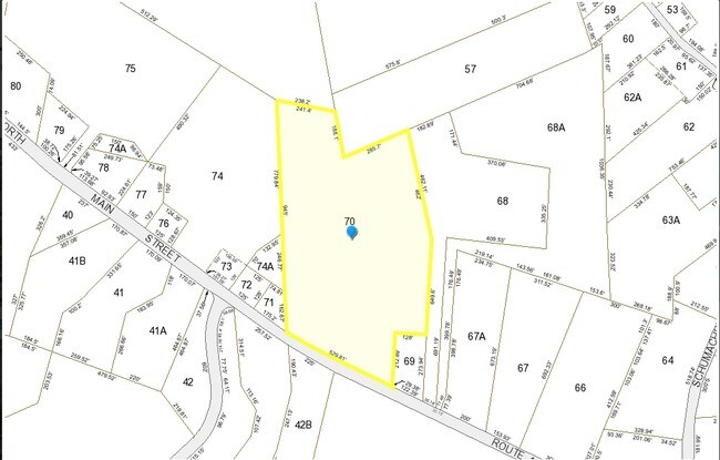
LANC-000240-000000-000700
Massachusetts
Residentialacreage
70.0
B and X Area of moderate flood hazard, usually the area between the limits of the 100-year and 500-year floods.
12.79 AC
2025
Fitchburg/Leominster
2025
Boston
713100
NEARBY LISTINGS FOR SALE OR LEASE
DEMOGRAPHICS near 1815 Main St
1 mile
3 mile
5 mile
2025 Total Population
770
10,964
60,906
2030 Population
792
11,246
62,364
Pop Growth 2025-2030
+ 2.86%
+ 2.57%
+ 2.39%
Average Age
43
43
42
2025 Total Households
186
3,821
23,487
HH Growth 2025-2030
+ 3.23%
+ 2.75%
+ 2.41%
Median Household Inc
$142,499
$112,116
$98,116
Avg Household Size
2.70
2.50
2.40
2025 Avg HH Vehicles
2.00
2.00
2.00
Median Home Value
$499,999
$466,571
$437,496
Median Year Built
1978
1977
1964
Nearby Places
Map Layers
Map Styles
 Street
 Aerial
Layers
 Traffic
 Biking
Places
Listings with unknown addresses are not visible on the map
- Restaurants
- Banks
- Shops
- Fitness
- Groceries
PUBLIC TRANSPORTATION
COMMUTER RAIL
North Leominster (Fitchburg/South Acton Line - Massachusetts Bay Transportation Authority Commuter Rail (Purple Line))
Drive
Walk
Distance
North Leominster (Fitchburg/South Acton Line - Massachusetts Bay Transportation Authority Commuter Rail (Purple Line))
9 min
5.8 mi
Shirley (Fitchburg/South Acton Line - Massachusetts Bay Transportation Authority Commuter Rail (Purple Line))
Drive
Walk
Distance
Shirley (Fitchburg/South Acton Line - Massachusetts Bay Transportation Authority Commuter Rail (Purple Line))
16 min
8.7 mi
AIRPORT
Worcester Regional
Drive
Walk
Distance
Worcester Regional
37 min
25.0 mi
SALE & LEASE HISTORY
LISTING DATE
SALE/LEASE

Dec 01, 2016
For Sale
Nearby Properties
Address
Land Use
TOTAL SIZE
Lot Size
Zoning
Address
Land Use
TOTAL SIZE
Lot Size
Zoning
663,948 SF
516.30 AC
Address
Land Use
TOTAL SIZE
Lot Size
Zoning
24.35 AC
Address
Land Use
TOTAL SIZE
Lot Size
Zoning
45,066 SF
18.52 AC
Address
Land Use
TOTAL SIZE
Lot Size
Zoning
552,952 SF
27.44 AC
Address
Land Use
TOTAL SIZE
Lot Size
Zoning
20.30 AC
Address
Land Use
TOTAL SIZE
Lot Size
Zoning
68,822 SF
9.83 AC
Address
Land Use
TOTAL SIZE
Lot Size
Zoning
171,063 SF
14.62 AC
Address
Land Use
TOTAL SIZE
Lot Size
Zoning
274,272 SF
50 AC
Address
Land Use
TOTAL SIZE
Lot Size
Zoning
147,092 SF
36.90 AC
Address
Land Use
TOTAL SIZE
Lot Size
Zoning
102,628 SF
10.50 AC
Address
Land Use
TOTAL SIZE
Lot Size
Zoning
4.71 AC
Address
Land Use
TOTAL SIZE
Lot Size
Zoning
88,566 SF
29.46 AC
Address
Land Use
TOTAL SIZE
Lot Size
Zoning
158,900 SF
80 AC
Address
Land Use
TOTAL SIZE
Lot Size
Zoning
116,116 SF
53.90 AC
Address
Land Use
TOTAL SIZE
Lot Size
Zoning
133,068 SF
9 AC
Address
Land Use
TOTAL SIZE
Lot Size
Zoning
54,351 SF
4.82 AC
Address
Land Use
TOTAL SIZE
Lot Size
Zoning
87,800 SF
57.40 AC
Address
Land Use
TOTAL SIZE
Lot Size
Zoning
33,050 SF
7.80 AC
Address
Land Use
TOTAL SIZE
Lot Size
Zoning
70,516 SF
23 AC
Address
Land Use
TOTAL SIZE
Lot Size
Zoning
40,483 SF
11 AC
I
Address
Land Use
TOTAL SIZE
Lot Size
Zoning
101,790 SF
11.70 AC
Address
Land Use
TOTAL SIZE
Lot Size
Zoning
60.46 AC
Address
Land Use
TOTAL SIZE
Lot Size
Zoning
Address
Land Use
TOTAL SIZE
Lot Size
Zoning
24,776 SF
13.58 AC
Address
Land Use
TOTAL SIZE
Lot Size
Zoning
7.51 AC
Address
Land Use
TOTAL SIZE
Lot Size
Zoning
75,909 SF
3.94 AC
Address
Land Use
TOTAL SIZE
Lot Size
Zoning
90,848 SF
7 AC
Address
Land Use
TOTAL SIZE
Lot Size
Zoning
19,120 SF
3.80 AC
Address
Land Use
TOTAL SIZE
Lot Size
Zoning
32,022 SF
18.09 AC
Address
Land Use
TOTAL SIZE
Lot Size
Zoning
13,912 SF
2.90 AC
The World's #1 Commercial Real Estate Marketplace
Connect with us
© 2026 CoStar Group
The information above has been obtained from sources believed reliable. While we do not doubt its accuracy we have not verified it and make no guarantee, warranty or representation about it. It is your responsibility to independently confirm its accuracy and completeness. Any projections, opinions, assumptions, or estimates used are for example only and do not represent the current or future performance of the property. The value of this transaction to you depends on tax and other factors which should be evaluated by your tax, financial, and legal advisors. You and your advisors should conduct a careful, independent investigation of the property to determine to your satisfaction the suitability of the property for your needs.