Property Record
18201 Highway 242, Conroe, TX 77302

Property Detail
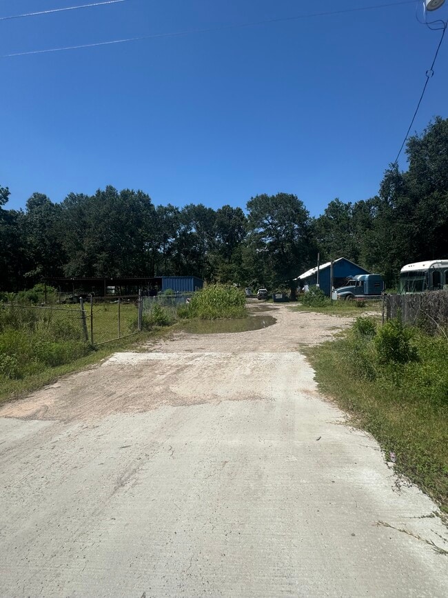
18201 Highway 242
0753-00-00157
A0753 - HINES PAT A, TRACT 1-N, ACRES 5.04
Commercialnec
MONTGOMERY
B and X Area of moderate flood hazard, usually the area between the limits of the 100-year and 500-year floods.
Texas
2024
5 AC
2025
Outlying Montgomery Cnty
692601
Houston
3,694 SF
Houston-Pasadena-The Woodlands, TX
NEARBY LISTINGS FOR SALE OR LEASE
DEMOGRAPHICS near 18201 Highway 242
1 mile
3 mile
5 mile
2025 Total Population
2,142
17,430
34,277
2030 Population
2,516
20,988
41,332
Pop Growth 2025-2030
+ 17.46%
+ 20.41%
+ 20.58%
Average Age
36
36
37
2025 Total Households
631
5,517
11,209
HH Growth 2025-2030
+ 18.07%
+ 20.86%
+ 21.13%
Median Household Inc
$59,599
$65,517
$73,441
Avg Household Size
3.20
3.10
3.00
2025 Avg HH Vehicles
2.00
2.00
2.00
Median Home Value
$151,357
$189,370
$228,295
Median Year Built
1998
2006
2008
Nearby Places
Map Layers
Map Styles
 Street
 Aerial
Layers
 Traffic
 Biking
Places
Listings with unknown addresses are not visible on the map
- Restaurants
- Banks
- Shops
- Fitness
- Groceries
PUBLIC TRANSPORTATION
AIRPORT
George Bush Intcntl/Houston
Drive
Walk
Distance
George Bush Intcntl/Houston
34 min
26.2 mi
Freight Ports
Port of Houston
Drive
Walk
Distance
Port of Houston
55 min
41.5 mi
SALE & LEASE HISTORY
LISTING DATE
SALE/LEASE

Sep 29, 2022
For Sale
May 19, 2023
For Sale
Jul 30, 2025
For Sale
Jul 21, 2021
For Sale
Nearby Properties
Address
Land Use
TOTAL SIZE
Lot Size
Zoning
Address
Land Use
TOTAL SIZE
Lot Size
Zoning
1,500,000 SF
86.90 AC
5
Address
Land Use
TOTAL SIZE
Lot Size
Zoning
1,014,160 SF
132.38 AC
Address
Land Use
TOTAL SIZE
Lot Size
Zoning
205,948 SF
23.14 AC
Address
Land Use
TOTAL SIZE
Lot Size
Zoning
126,871 SF
58.54 AC
1
Address
Land Use
TOTAL SIZE
Lot Size
Zoning
148,358 SF
16.01 AC
Address
Land Use
TOTAL SIZE
Lot Size
Zoning
149,817 SF
2 AC
1
Address
Land Use
TOTAL SIZE
Lot Size
Zoning
98,000 SF
18 AC
Address
Land Use
TOTAL SIZE
Lot Size
Zoning
18,308 SF
2.68 AC
1
Address
Land Use
TOTAL SIZE
Lot Size
Zoning
52,796 SF
6.58 AC
Address
Land Use
TOTAL SIZE
Lot Size
Zoning
96,946 SF
12 AC
1
Address
Land Use
TOTAL SIZE
Lot Size
Zoning
45,120 SF
9.73 AC
Address
Land Use
TOTAL SIZE
Lot Size
Zoning
23,070 SF
10 AC
Address
Land Use
TOTAL SIZE
Lot Size
Zoning
55,225 SF
5 AC
Address
Land Use
TOTAL SIZE
Lot Size
Zoning
26,558 SF
12 AC
1
Address
Land Use
TOTAL SIZE
Lot Size
Zoning
31,250 SF
8.34 AC
Address
Land Use
TOTAL SIZE
Lot Size
Zoning
9,288 SF
1.99 AC
Address
Land Use
TOTAL SIZE
Lot Size
Zoning
24,800 SF
6.89 AC
Address
Land Use
TOTAL SIZE
Lot Size
Zoning
9,020 SF
1.54 AC
Address
Land Use
TOTAL SIZE
Lot Size
Zoning
8.87 AC
1
Address
Land Use
TOTAL SIZE
Lot Size
Zoning
9,180 SF
1.38 AC
1
Address
Land Use
TOTAL SIZE
Lot Size
Zoning
15,988 SF
46.22 AC
1
Address
Land Use
TOTAL SIZE
Lot Size
Zoning
19,939 SF
1.52 AC
1
Address
Land Use
TOTAL SIZE
Lot Size
Zoning
1,440 SF
12.81 AC
1
Address
Land Use
TOTAL SIZE
Lot Size
Zoning
12,000 SF
1.38 AC
1
Address
Land Use
TOTAL SIZE
Lot Size
Zoning
9,280 SF
4.57 AC
1
Address
Land Use
TOTAL SIZE
Lot Size
Zoning
22,700 SF
7.02 AC
Address
Land Use
TOTAL SIZE
Lot Size
Zoning
12,880 SF
5.86 AC
1
Address
Land Use
TOTAL SIZE
Lot Size
Zoning
8,050 SF
2.84 AC
1
Address
Land Use
TOTAL SIZE
Lot Size
Zoning
10,560 SF
2 AC
1
Address
Land Use
TOTAL SIZE
Lot Size
Zoning
5,144 SF
2.41 AC
1
The World's #1 Commercial Real Estate Marketplace
Connect with us
© 2026 CoStar Group
The information above has been obtained from sources believed reliable. While we do not doubt its accuracy we have not verified it and make no guarantee, warranty or representation about it. It is your responsibility to independently confirm its accuracy and completeness. Any projections, opinions, assumptions, or estimates used are for example only and do not represent the current or future performance of the property. The value of this transaction to you depends on tax and other factors which should be evaluated by your tax, financial, and legal advisors. You and your advisors should conduct a careful, independent investigation of the property to determine to your satisfaction the suitability of the property for your needs.