Property Record
183 Noah Ln, El Paso, AR 72045
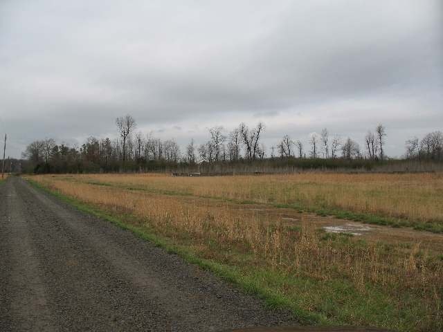

Property Detail
183 Noah Ln
Searcy, AR
SW NE
001-15190-000
WHITE
Agriculturalland
Arkansas
A Areas with a 1% annual chance of flooding and a 26% chance of flooding over the life of a 30-year mortgage.
40 AC
2025
Arkansas North Area
2025
Other Market Areas
071002
NEARBY LISTINGS FOR SALE OR LEASE
-
-
View all El Paso listings for sale on LoopNet.com
DEMOGRAPHICS near 183 Noah Ln
1 mile
3 mile
5 mile
2025 Total Population
125
999
6,191
2030 Population
129
1,028
6,364
Pop Growth 2025-2030
+ 3.20%
+ 2.90%
+ 2.79%
Average Age
44
43
40
2025 Total Households
52
403
2,312
HH Growth 2025-2030
+ 3.85%
+ 2.98%
+ 2.90%
Median Household Inc
$39,999
$54,079
$86,481
Avg Household Size
2.40
2.50
2.70
2025 Avg HH Vehicles
2.00
2.00
2.00
Median Home Value
$130,000
$159,036
$220,913
Median Year Built
1988
1991
2001
Nearby Places
Map Layers
Map Styles
 Street
 Aerial
Layers
 Traffic
 Biking
Places
Listings with unknown addresses are not visible on the map
- Restaurants
- Banks
- Shops
- Fitness
- Groceries
PUBLIC TRANSPORTATION
AIRPORT
Bill and Hillary Clinton Ntl/Adams Field
Drive
Walk
Distance
Bill and Hillary Clinton Ntl/Adams Field
53 min
42.8 mi
Freight Ports
Tulsa Port of Inola
Drive
Walk
Distance
Tulsa Port of Inola
288 min
256.4 mi
Nearby Properties
Address
Land Use
TOTAL SIZE
Lot Size
Zoning
Address
Land Use
TOTAL SIZE
Lot Size
Zoning
9,200 SF
29.16 AC
Address
Land Use
TOTAL SIZE
Lot Size
Zoning
6,376 SF
2.64 AC
Address
Land Use
TOTAL SIZE
Lot Size
Zoning
4,341 SF
3 AC
Address
Land Use
TOTAL SIZE
Lot Size
Zoning
2,046 SF
10.02 AC
Address
Land Use
TOTAL SIZE
Lot Size
Zoning
6,400 SF
9.79 AC
Address
Land Use
TOTAL SIZE
Lot Size
Zoning
4,796 SF
1.77 AC
Address
Land Use
TOTAL SIZE
Lot Size
Zoning
Address
Land Use
TOTAL SIZE
Lot Size
Zoning
0.28 AC
Address
Land Use
TOTAL SIZE
Lot Size
Zoning
4,499 SF
0.88 AC
Address
Land Use
TOTAL SIZE
Lot Size
Zoning
2,400 SF
0.59 AC
Address
Land Use
TOTAL SIZE
Lot Size
Zoning
Address
Land Use
TOTAL SIZE
Lot Size
Zoning
1,800 SF
Address
Land Use
TOTAL SIZE
Lot Size
Zoning
2,204 SF
3.33 AC
Address
Land Use
TOTAL SIZE
Lot Size
Zoning
1,500 SF
3.36 AC
Address
Land Use
TOTAL SIZE
Lot Size
Zoning
36 AC
Address
Land Use
TOTAL SIZE
Lot Size
Zoning
5.11 AC
Address
Land Use
TOTAL SIZE
Lot Size
Zoning
4.70 AC
Address
Land Use
TOTAL SIZE
Lot Size
Zoning
4.24 AC
Address
Land Use
TOTAL SIZE
Lot Size
Zoning
Address
Land Use
TOTAL SIZE
Lot Size
Zoning
10.03 AC
Address
Land Use
TOTAL SIZE
Lot Size
Zoning
3,120 SF
0.52 AC
Address
Land Use
TOTAL SIZE
Lot Size
Zoning
Address
Land Use
TOTAL SIZE
Lot Size
Zoning
9.85 AC
Address
Land Use
TOTAL SIZE
Lot Size
Zoning
5,274 SF
157.30 AC
Address
Land Use
TOTAL SIZE
Lot Size
Zoning
2,516 SF
219.72 AC
Address
Land Use
TOTAL SIZE
Lot Size
Zoning
2,412 SF
90.52 AC
Address
Land Use
TOTAL SIZE
Lot Size
Zoning
920 SF
30.62 AC
Address
Land Use
TOTAL SIZE
Lot Size
Zoning
4.28 AC
Address
Land Use
TOTAL SIZE
Lot Size
Zoning
3.05 AC
The World's #1 Commercial Real Estate Marketplace
Connect with us
© 2026 CoStar Group
The information above has been obtained from sources believed reliable. While we do not doubt its accuracy we have not verified it and make no guarantee, warranty or representation about it. It is your responsibility to independently confirm its accuracy and completeness. Any projections, opinions, assumptions, or estimates used are for example only and do not represent the current or future performance of the property. The value of this transaction to you depends on tax and other factors which should be evaluated by your tax, financial, and legal advisors. You and your advisors should conduct a careful, independent investigation of the property to determine to your satisfaction the suitability of the property for your needs.