Property Record
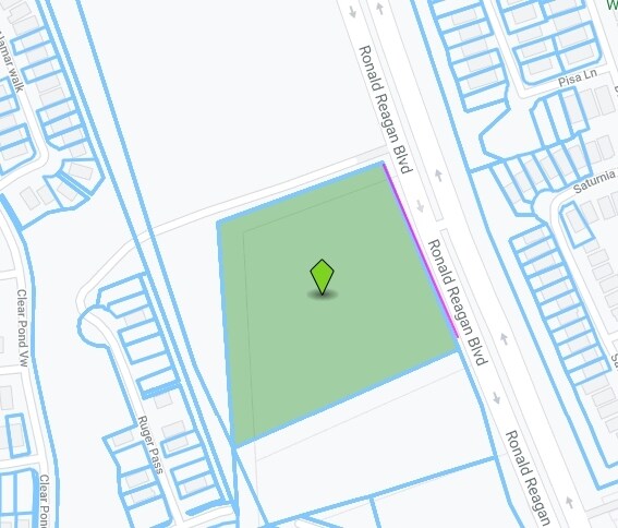
18301 Ronald W Reagan Blvd, Leander, TX 78641

Property Detail
18301 Ronald W Reagan Blvd
Austin-Round Rock-San Marcos, TX
AW0269 AW0269 - GARMES, H. SUR., ACRES 3.953
R473804
WILLIAMSON
Vacantlandnec
Texas
B and X Area of moderate flood hazard, usually the area between the limits of the 100-year and 500-year floods.
3.95 AC
2024
Georgetown
2025
Austin
020338
NEARBY LISTINGS FOR SALE OR LEASE
-
-
-
-
-
-
-
-
-
-
-
-
-
-
-
-
-
-
-
-
-
-
-
-
-
-
-
U.S. Hwy 183-A (Toll Road) @ Covewind Bend Blvd
Leander, TX 78641
Rent Upon Request
5.54 AC Lots
Land
-
View all Leander listings for sale on LoopNet.com
DEMOGRAPHICS near 18301 Ronald W Reagan Blvd
1 mile
3 mile
5 mile
2025 Total Population
6,031
38,681
114,292
2030 Population
7,244
46,602
135,032
Pop Growth 2025-2030
+ 20.11%
+ 20.48%
+ 18.15%
Average Age
36
36
36
2025 Total Households
2,050
13,519
39,208
HH Growth 2025-2030
+ 20.54%
+ 20.86%
+ 18.62%
Median Household Inc
$153,090
$143,023
$134,568
Avg Household Size
2.90
2.90
2.90
2025 Avg HH Vehicles
2.00
2.00
2.00
Median Home Value
$493,405
$496,116
$486,273
Median Year Built
2011
2011
2011
Nearby Places
Map Layers
Map Styles
 Street
 Aerial
Transit
 Traffic
 Biking
Places
Listings with unknown addresses are not visible on the map
- Restaurants
- Banks
- Shops
- Fitness
- Groceries
Nearby Properties
Address
Land Use
TOTAL SIZE
Lot Size
Zoning
Address
Land Use
TOTAL SIZE
Lot Size
Zoning
106,000 SF
72.51 AC
Address
Land Use
TOTAL SIZE
Lot Size
Zoning
287,118 SF
9.26 AC
Address
Land Use
TOTAL SIZE
Lot Size
Zoning
325,045 SF
11.40 AC
Address
Land Use
TOTAL SIZE
Lot Size
Zoning
285,365 SF
12.24 AC
Address
Land Use
TOTAL SIZE
Lot Size
Zoning
246,060 SF
9.30 AC
Address
Land Use
TOTAL SIZE
Lot Size
Zoning
312,374 SF
15.77 AC
Address
Land Use
TOTAL SIZE
Lot Size
Zoning
249,862 SF
16.14 AC
Address
Land Use
TOTAL SIZE
Lot Size
Zoning
232,172 SF
10.43 AC
Address
Land Use
TOTAL SIZE
Lot Size
Zoning
341,700 SF
9.90 AC
Address
Land Use
TOTAL SIZE
Lot Size
Zoning
286,888 SF
20.68 AC
Address
Land Use
TOTAL SIZE
Lot Size
Zoning
247,584 SF
18.45 AC
Address
Land Use
TOTAL SIZE
Lot Size
Zoning
Address
Land Use
TOTAL SIZE
Lot Size
Zoning
193,011 SF
8.91 AC
Address
Land Use
TOTAL SIZE
Lot Size
Zoning
194,695 SF
9.56 AC
Address
Land Use
TOTAL SIZE
Lot Size
Zoning
109,663 SF
19.54 AC
Address
Land Use
TOTAL SIZE
Lot Size
Zoning
11.98 AC
Address
Land Use
TOTAL SIZE
Lot Size
Zoning
194,695 SF
5.09 AC
Address
Land Use
TOTAL SIZE
Lot Size
Zoning
256,008 SF
15.88 AC
Address
Land Use
TOTAL SIZE
Lot Size
Zoning
35,223 SF
9.75 AC
Address
Land Use
TOTAL SIZE
Lot Size
Zoning
37,809 SF
6.26 AC
Address
Land Use
TOTAL SIZE
Lot Size
Zoning
127,329 SF
32.79 AC
Address
Land Use
TOTAL SIZE
Lot Size
Zoning
163.59 AC
Address
Land Use
TOTAL SIZE
Lot Size
Zoning
39,180 SF
9.28 AC
Address
Land Use
TOTAL SIZE
Lot Size
Zoning
58,524 SF
16.13 AC
Address
Land Use
TOTAL SIZE
Lot Size
Zoning
60,305 SF
0.87 AC
Address
Land Use
TOTAL SIZE
Lot Size
Zoning
159,400 SF
8.26 AC
Address
Land Use
TOTAL SIZE
Lot Size
Zoning
91,200 SF
3.53 AC
Address
Land Use
TOTAL SIZE
Lot Size
Zoning
1,412 SF
20.17 AC
Address
Land Use
TOTAL SIZE
Lot Size
Zoning
46,979 SF
5.56 AC
Address
Land Use
TOTAL SIZE
Lot Size
Zoning
1,952 SF
24.89 AC
The World's #1 Commercial Real Estate Marketplace
Connect with us
© 2026 CoStar Group
The information above has been obtained from sources believed reliable. While we do not doubt its accuracy we have not verified it and make no guarantee, warranty or representation about it. It is your responsibility to independently confirm its accuracy and completeness. Any projections, opinions, assumptions, or estimates used are for example only and do not represent the current or future performance of the property. The value of this transaction to you depends on tax and other factors which should be evaluated by your tax, financial, and legal advisors. You and your advisors should conduct a careful, independent investigation of the property to determine to your satisfaction the suitability of the property for your needs.