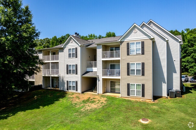
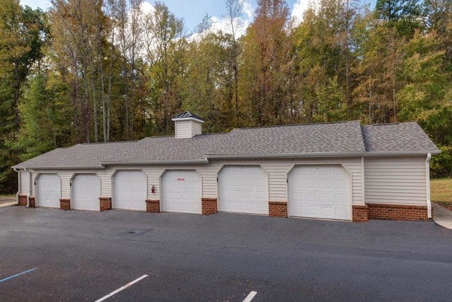
Property Record
1832 Gingercake Cir, Rock Hill, SC 29732
Property Detail
1832 Gingercake Cir
5930801034
(10.89AC), LESS 0.58AC, 0.55AC HECKLE BYPASS
Commercialnec
YORK
PUD
South Carolina
B and X Area of moderate flood hazard, usually the area between the limits of the 100-year and 500-year floods.
9.76 AC
2025
Outlying York County
2025
Charlotte
060909
Charlotte-Concord-Gastonia, NC-SC
26,001 SF
NEARBY LISTINGS FOR SALE OR LEASE
DEMOGRAPHICS near 1832 Gingercake Cir
1 mile
3 mile
5 mile
2025 Total Population
6,562
45,700
95,723
2030 Population
6,811
47,965
100,696
Pop Growth 2025-2030
+ 3.79%
+ 4.96%
+ 5.20%
Average Age
42
40
40
2025 Total Households
2,775
18,200
38,463
HH Growth 2025-2030
+ 3.82%
+ 5.27%
+ 5.35%
Median Household Inc
$81,266
$71,394
$68,711
Avg Household Size
2.30
2.30
2.40
2025 Avg HH Vehicles
2.00
2.00
2.00
Median Home Value
$335,094
$341,913
$329,888
Median Year Built
2000
1993
1992
Nearby Places
Map Layers
Map Styles
 Street
 Aerial
Transit
 Traffic
 Biking
Places
Listings with unknown addresses are not visible on the map
- Restaurants
- Banks
- Shops
- Fitness
- Groceries
PUBLIC TRANSPORTATION
AIRPORT
Charlotte/Douglas International
Drive
Walk
Distance
Charlotte/Douglas International
45 min
25.2 mi
Freight Ports
North Charleston Terminal
Drive
Walk
Distance
North Charleston Terminal
208 min
180.2 mi
Nearby Properties
Address
Land Use
TOTAL SIZE
Lot Size
Zoning
Address
Land Use
TOTAL SIZE
Lot Size
Zoning
13,556 SF
10.86 AC
MF15
Address
Land Use
TOTAL SIZE
Lot Size
Zoning
267,338 SF
Address
Land Use
TOTAL SIZE
Lot Size
Zoning
8,512 SF
7.73 AC
MF15
Address
Land Use
TOTAL SIZE
Lot Size
Zoning
45,426 SF
6 AC
MF15
Address
Land Use
TOTAL SIZE
Lot Size
Zoning
28,848 SF
1.04 AC
PUD
Address
Land Use
TOTAL SIZE
Lot Size
Zoning
252,312 SF
1.25 AC
Address
Land Use
TOTAL SIZE
Lot Size
Zoning
10,232 SF
4.50 AC
MF15
Address
Land Use
TOTAL SIZE
Lot Size
Zoning
554,100 SF
21.58 AC
OI
Address
Land Use
TOTAL SIZE
Lot Size
Zoning
28,320 SF
2.67 AC
IG
Address
Land Use
TOTAL SIZE
Lot Size
Zoning
225,936 SF
2.87 AC
Address
Land Use
TOTAL SIZE
Lot Size
Zoning
8,348 SF
44 SF
SF3
Address
Land Use
TOTAL SIZE
Lot Size
Zoning
98,813 SF
3.34 AC
Address
Land Use
TOTAL SIZE
Lot Size
Zoning
14,178 SF
1.81 AC
OI
Address
Land Use
TOTAL SIZE
Lot Size
Zoning
127,028 SF
1.28 AC
Address
Land Use
TOTAL SIZE
Lot Size
Zoning
38,000 SF
4.28 AC
LC
Address
Land Use
TOTAL SIZE
Lot Size
Zoning
23,898 SF
19.65 AC
OI
Address
Land Use
TOTAL SIZE
Lot Size
Zoning
1,254 SF
108.90 AC
RDI
Address
Land Use
TOTAL SIZE
Lot Size
Zoning
207,492 SF
6.66 AC
IH
Address
Land Use
TOTAL SIZE
Lot Size
Zoning
162,641 SF
1.31 AC
Address
Land Use
TOTAL SIZE
Lot Size
Zoning
Address
Land Use
TOTAL SIZE
Lot Size
Zoning
176,736 SF
23.29 AC
RDI
Address
Land Use
TOTAL SIZE
Lot Size
Zoning
Address
Land Use
TOTAL SIZE
Lot Size
Zoning
9,116 SF
0.74 AC
PUDO
Address
Land Use
TOTAL SIZE
Lot Size
Zoning
88,004 SF
0.58 AC
Address
Land Use
TOTAL SIZE
Lot Size
Zoning
274,588 SF
1.66 AC
Address
Land Use
TOTAL SIZE
Lot Size
Zoning
11.76 AC
PUD
Address
Land Use
TOTAL SIZE
Lot Size
Zoning
4,421 SF
1 AC
SF3
Address
Land Use
TOTAL SIZE
Lot Size
Zoning
112,905 SF
4.24 AC
NMU
Address
Land Use
TOTAL SIZE
Lot Size
Zoning
20,304 SF
19 AC
LC
The World's #1 Commercial Real Estate Marketplace
Connect with us
© 2026 CoStar Group
The information above has been obtained from sources believed reliable. While we do not doubt its accuracy we have not verified it and make no guarantee, warranty or representation about it. It is your responsibility to independently confirm its accuracy and completeness. Any projections, opinions, assumptions, or estimates used are for example only and do not represent the current or future performance of the property. The value of this transaction to you depends on tax and other factors which should be evaluated by your tax, financial, and legal advisors. You and your advisors should conduct a careful, independent investigation of the property to determine to your satisfaction the suitability of the property for your needs.