Property Record
1835 Ne Division St, Gresham, OR 97030
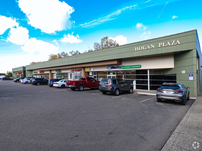

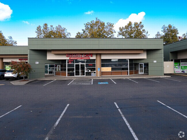

Property Detail
1835 Ne Division St
R337265
SECTION 02 1S 3E, TL 600 1.42 ACRES
Commercialnec
Multnomah
CC
Oregon
B and X Area of moderate flood hazard, usually the area between the limits of the 100-year and 500-year floods.
1.42 AC
2025
Gresham
2025
Portland
010410
Portland-Vancouver-Hillsboro, OR-WA
19,582 SF
NEARBY LISTINGS FOR SALE OR LEASE
DEMOGRAPHICS near 1835 Ne Division St
1 mile
3 mile
5 mile
2024 Total Population
19,724
105,282
180,342
2029 Population
19,294
103,615
177,437
Pop Growth 2024-2029
(2.18%)
(1.58%)
(1.61%)
Average Age
40
40
40
2024 Total Households
7,496
37,951
64,056
HH Growth 2024-2029
(2.56%)
(1.88%)
(1.92%)
Median Household Inc
$59,344
$76,723
$73,547
Avg Household Size
2.50
2.70
2.70
2024 Avg HH Vehicles
2.00
2.00
2.00
Median Home Value
$394,135
$449,251
$449,354
Median Year Built
1978
1983
1982
Nearby Places
Map Layers
Map Styles
 Street
 Aerial
Transit
 Traffic
 Biking
Places
Listings with unknown addresses are not visible on the map
- Restaurants
- Banks
- Shops
- Fitness
- Groceries
PUBLIC TRANSPORTATION
TRANSIT/SUBWAY
Cleveland Avenue (MAX Blue Line - Tri-County Metropolitan Transportation District of Oregon Rail (TriMet Rail))
Drive
Walk
Distance
Cleveland Avenue (MAX Blue Line - Tri-County Metropolitan Transportation District of Oregon Rail (TriMet Rail))
3 min
12 min
0.6 mi
Gresham Central Transit Center (MAX Blue Line - Tri-County Metropolitan Transportation District of Oregon Rail (TriMet Rail))
Drive
Walk
Distance
Gresham Central Transit Center (MAX Blue Line - Tri-County Metropolitan Transportation District of Oregon Rail (TriMet Rail))
3 min
19 min
0.9 mi
AIRPORT
Portland International
Drive
Walk
Distance
Portland International
24 min
14.3 mi
Freight Ports
Port of Portland
Drive
Walk
Distance
Port of Portland
30 min
19.7 mi
SALE & LEASE HISTORY
LISTING DATE
SALE/LEASE

Sep 25, 2016
For Lease
Mar 12, 2019
For Lease
The World's #1 Commercial Real Estate Marketplace
Connect with us
© 2026 CoStar Group
The information above has been obtained from sources believed reliable. While we do not doubt its accuracy we have not verified it and make no guarantee, warranty or representation about it. It is your responsibility to independently confirm its accuracy and completeness. Any projections, opinions, assumptions, or estimates used are for example only and do not represent the current or future performance of the property. The value of this transaction to you depends on tax and other factors which should be evaluated by your tax, financial, and legal advisors. You and your advisors should conduct a careful, independent investigation of the property to determine to your satisfaction the suitability of the property for your needs.