Property Record
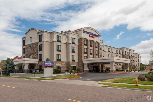
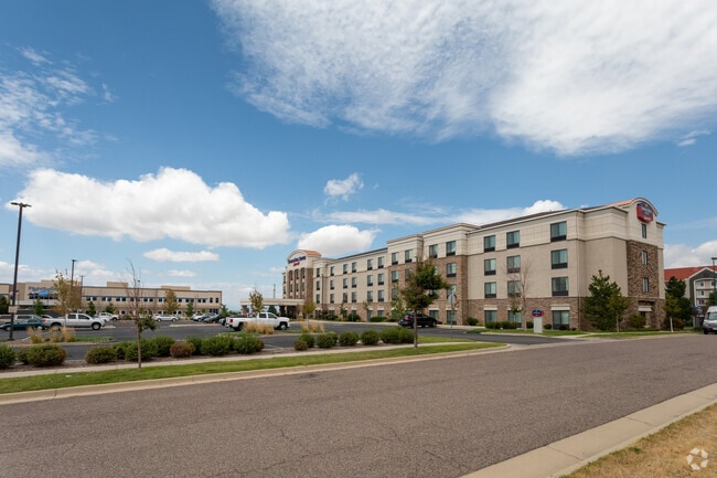
18350 E 68Th Ave, Denver, CO 80249

Property Detail
18350 E 68Th Ave
0041-02-003
DENVER INTERNATIONAL BUSINESS CENTER FLG #6 BLK 1 L1 & PTTR-A ADJ BEG NE COR TR-A S 235.66FT CV/R 69.92FT SW 10.06 FTW 331.43FT N 309.47FT E 343.45FT POB
Hotel
DENVER
C-MU-20
Colorado
B and X Area of moderate flood hazard, usually the area between the limits of the 100-year and 500-year floods.
1
2024
2.46 AC
2025
Denver Airport/East
015800
Denver
172,878 SF
Denver-Aurora-Centennial, CO
NEARBY LISTINGS FOR SALE OR LEASE
-
-
View all Denver listings for sale on LoopNet.com
DEMOGRAPHICS near 18350 E 68Th Ave
1 mile
3 mile
5 mile
2024 Total Population
3,687
45,363
114,748
2029 Population
4,143
47,882
120,013
Pop Growth 2024-2029
+ 12.37%
+ 5.55%
+ 4.59%
Average Age
31
34
35
2024 Total Households
1,418
14,430
34,487
HH Growth 2024-2029
+ 12.48%
+ 6.07%
+ 4.93%
Median Household Inc
$81,875
$100,095
$104,295
Avg Household Size
2.60
3.00
3.20
2024 Avg HH Vehicles
2.00
2.00
2.00
Median Home Value
$381,045
$484,163
$475,667
Median Year Built
2010
2010
2005
Nearby Places
Map Layers
Map Styles
 Street
 Aerial
Transit
 Traffic
 Biking
Places
Listings with unknown addresses are not visible on the map
- Restaurants
- Banks
- Shops
- Fitness
- Groceries
PUBLIC TRANSPORTATION
COMMUTER RAIL
61St & Pena Station Track 2 (Union Station to Denver Airport Station - Regional Transportation District)
Drive
Walk
Distance
61St & Pena Station Track 2 (Union Station to Denver Airport Station - Regional Transportation District)
3 min
1.6 mi
40Th Ave & Airport Blvd - Gateway Park Station Track 2 (Union Station to Denver Airport Station - Regional Transportation District)
Drive
Walk
Distance
40Th Ave & Airport Blvd - Gateway Park Station Track 2 (Union Station to Denver Airport Station - Regional Transportation District)
9 min
4.7 mi
AIRPORT
Denver International
Drive
Walk
Distance
Denver International
11 min
7.9 mi
Freight Ports
Tulsa Port Of Catoosa
Drive
Walk
Distance
Tulsa Port Of Catoosa
718 min
700.2 mi
Nearby Properties
Address
Land Use
TOTAL SIZE
Lot Size
Zoning
Address
Land Use
TOTAL SIZE
Lot Size
Zoning
1,996,111 SF
73.07 AC
Address
Land Use
TOTAL SIZE
Lot Size
Zoning
1,214,982 SF
149.04 AC
I-MX-8
Address
Land Use
TOTAL SIZE
Lot Size
Zoning
258,315 SF
16.83 AC
Address
Land Use
TOTAL SIZE
Lot Size
Zoning
999,780 SF
72.36 AC
Address
Land Use
TOTAL SIZE
Lot Size
Zoning
110,192 SF
2.95 AC
C-MU-30
Address
Land Use
TOTAL SIZE
Lot Size
Zoning
200,105 SF
34.54 AC
C-MU-20
Address
Land Use
TOTAL SIZE
Lot Size
Zoning
185,812 SF
20.93 AC
C-MU-20
Address
Land Use
TOTAL SIZE
Lot Size
Zoning
594,400 SF
33.13 AC
Address
Land Use
TOTAL SIZE
Lot Size
Zoning
108,548 SF
2.98 AC
C-MU-20
Address
Land Use
TOTAL SIZE
Lot Size
Zoning
134,052 SF
6.77 AC
C-MX
Address
Land Use
TOTAL SIZE
Lot Size
Zoning
540,800 SF
38.81 AC
Address
Land Use
TOTAL SIZE
Lot Size
Zoning
55,590 SF
2.48 AC
GTWY
Address
Land Use
TOTAL SIZE
Lot Size
Zoning
99,800 SF
4.03 AC
GTWY
Address
Land Use
TOTAL SIZE
Lot Size
Zoning
71,229 SF
2.58 AC
C-MX
Address
Land Use
TOTAL SIZE
Lot Size
Zoning
217,995 SF
12.31 AC
S-SU-D
Address
Land Use
TOTAL SIZE
Lot Size
Zoning
226,972 SF
20.36 AC
Address
Land Use
TOTAL SIZE
Lot Size
Zoning
90,368 SF
2.86 AC
C-MX
Address
Land Use
TOTAL SIZE
Lot Size
Zoning
60,021 SF
1.86 AC
C-MU-10
Address
Land Use
TOTAL SIZE
Lot Size
Zoning
64,635 SF
2.06 AC
C-MX
Address
Land Use
TOTAL SIZE
Lot Size
Zoning
437,144 SF
11.58 AC
Address
Land Use
TOTAL SIZE
Lot Size
Zoning
121,970 SF
12.12 AC
C-MU-20
Address
Land Use
TOTAL SIZE
Lot Size
Zoning
57,899 SF
2.52 AC
C-MU-20
Address
Land Use
TOTAL SIZE
Lot Size
Zoning
82,039 SF
2.60 AC
C-MX
Address
Land Use
TOTAL SIZE
Lot Size
Zoning
424,700 SF
31.64 AC
PUD
Address
Land Use
TOTAL SIZE
Lot Size
Zoning
142,849 SF
15 AC
PUD
Address
Land Use
TOTAL SIZE
Lot Size
Zoning
116,914 SF
13.43 AC
PUD
Address
Land Use
TOTAL SIZE
Lot Size
Zoning
142,413 SF
4.29 AC
C-MU-20
Address
Land Use
TOTAL SIZE
Lot Size
Zoning
366,808 SF
11.38 AC
C-MU-20
Address
Land Use
TOTAL SIZE
Lot Size
Zoning
107,276 SF
3.43 AC
C-MU-20
The World's #1 Commercial Real Estate Marketplace
Connect with us
© 2026 CoStar Group
The information above has been obtained from sources believed reliable. While we do not doubt its accuracy we have not verified it and make no guarantee, warranty or representation about it. It is your responsibility to independently confirm its accuracy and completeness. Any projections, opinions, assumptions, or estimates used are for example only and do not represent the current or future performance of the property. The value of this transaction to you depends on tax and other factors which should be evaluated by your tax, financial, and legal advisors. You and your advisors should conduct a careful, independent investigation of the property to determine to your satisfaction the suitability of the property for your needs.