Property Record
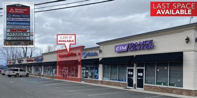
1843 State Route 35, Middletown, NJ 07748


NEARBY LISTINGS FOR SALE OR LEASE
Property Detail
1843 State Route 35
32-00599-0000-00009
L6.02,36 & 6.04
Commercialnec
Monmouth
X
New Jersey
34025C0042F
9
2024
44 SF
2025
Eastern Monmouth
800702
Northern New Jersey
37,332 SF
New York-Jersey City-White Plains, NY-NJ
DEMOGRAPHICS near 1843 State Route 35
1 Mile
3 Mile
5 Mile
2024 Total Population
7,754
69,066
127,067
2029 Population
7,771
68,429
125,973
Pop Growth 2024-2029
+ 0.22%
(0.92%)
(0.86%)
Average Age
44
42
42
2024 Total Households
2,779
24,712
46,530
HH Growth 2024-2029
(0.07%)
(1.14%)
(1.07%)
Median Household Inc
$104,189
$111,448
$114,849
Avg Household Size
2.70
2.70
2.60
2024 Avg HH Vehicles
2.00
2.00
2.00
Median Home Value
$498,314
$447,003
$452,450
Median Year Built
1977
1967
1968
Nearby Places
Map Layers
Map Styles
 Street
 Aerial
- Restaurants
- Banks
- Shops
- Fitness
- Groceries
PUBLIC TRANSPORTATION
COMMUTER RAIL
DRIVE
WALK
Distance
7 min
2.9 mi
Hazlet (North Jersey Coast Line - NJ Transit Commuter Rail (NJ Transit))
DRIVE
WALK
Distance
Hazlet (North Jersey Coast Line - NJ Transit Commuter Rail (NJ Transit))
6 min
4.2 mi
AIRPORT
Newark Liberty International
DRIVE
WALK
Distance
Newark Liberty International
43 min
31.7 mi
LaGuardia
DRIVE
WALK
Distance
LaGuardia
72 min
49.1 mi
Freight Ports
New York Container Terminal
DRIVE
WALK
Distance
New York Container Terminal
36 min
26.8 mi
SALE & LEASE HISTORY
LISTING DATE
SALE/LEASE

Sep 25, 2016
For Lease
Oct 02, 2018
For Lease
Mar 16, 2017
For Lease
Jun 17, 2024
For Sale
Dec 17, 2024
For Lease
Nearby Properties
Address
Land Use
TOTAL SIZE
Lot Size
Zoning
Address
Land Use
TOTAL SIZE
Lot Size
Zoning
836,881 SF
253 AC
R-45
Address
Land Use
TOTAL SIZE
Lot Size
Zoning
596.51 AC
FL
Address
Land Use
TOTAL SIZE
Lot Size
Zoning
6,500 SF
48.71 AC
CI
Address
Land Use
TOTAL SIZE
Lot Size
Zoning
37.83 AC
PUD
Address
Land Use
TOTAL SIZE
Lot Size
Zoning
Address
Land Use
TOTAL SIZE
Lot Size
Zoning
231,505 SF
21.75 AC
MU15
Address
Land Use
TOTAL SIZE
Lot Size
Zoning
10.44 AC
TMHO
Address
Land Use
TOTAL SIZE
Lot Size
Zoning
158,298 SF
20.01 AC
MU15
Address
Land Use
TOTAL SIZE
Lot Size
Zoning
29.59 AC
CI
Address
Land Use
TOTAL SIZE
Lot Size
Zoning
22.51 AC
RGA
Address
Land Use
TOTAL SIZE
Lot Size
Zoning
118,375 SF
18.20 AC
MU15
Address
Land Use
TOTAL SIZE
Lot Size
Zoning
151,463 SF
20.58 AC
M-2
Address
Land Use
TOTAL SIZE
Lot Size
Zoning
39,965 SF
17.14 AC
BH
Address
Land Use
TOTAL SIZE
Lot Size
Zoning
1,242 SF
0.29 AC
P
Address
Land Use
TOTAL SIZE
Lot Size
Zoning
82,166 SF
25.10 AC
R-7
Address
Land Use
TOTAL SIZE
Lot Size
Zoning
3,641 SF
22.58 AC
C1
Address
Land Use
TOTAL SIZE
Lot Size
Zoning
237,821 SF
38.92 AC
R-22
Address
Land Use
TOTAL SIZE
Lot Size
Zoning
196,948 SF
19.80 AC
BH
Address
Land Use
TOTAL SIZE
Lot Size
Zoning
126,177 SF
14.10 AC
B-3
Address
Land Use
TOTAL SIZE
Lot Size
Zoning
42,314 SF
52 AC
IA
Address
Land Use
TOTAL SIZE
Lot Size
Zoning
127,410 SF
0.01 AC
RHA
Address
Land Use
TOTAL SIZE
Lot Size
Zoning
3,864 SF
260 AC
M-1
Address
Land Use
TOTAL SIZE
Lot Size
Zoning
91,520 SF
21.37 AC
RGA
Address
Land Use
TOTAL SIZE
Lot Size
Zoning
83,416 SF
44.01 AC
R-22
Address
Land Use
TOTAL SIZE
Lot Size
Zoning
5 AC
PUD
Address
Land Use
TOTAL SIZE
Lot Size
Zoning
141,313 SF
23.19 AC
R-22
Address
Land Use
TOTAL SIZE
Lot Size
Zoning
6,910 SF
169.16 AC
R-45
Address
Land Use
TOTAL SIZE
Lot Size
Zoning
4,005 SF
87 SF
B-2
Address
Land Use
TOTAL SIZE
Lot Size
Zoning
9,904 SF
135.45 AC
M-2
Address
Land Use
TOTAL SIZE
Lot Size
Zoning
67,832 SF
10.46 AC
RGA2
The World's #1 Commercial Real Estate Marketplace
Connect with us
© 2026 CoStar Group
The information above has been obtained from sources believed reliable. While we do not doubt its accuracy we have not verified it and make no guarantee, warranty or representation about it. It is your responsibility to independently confirm its accuracy and completeness. Any projections, opinions, assumptions, or estimates used are for example only and do not represent the current or future performance of the property. The value of this transaction to you depends on tax and other factors which should be evaluated by your tax, financial, and legal advisors. You and your advisors should conduct a careful, independent investigation of the property to determine to your satisfaction the suitability of the property for your needs.