Property Record
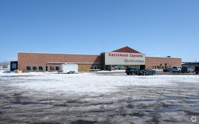
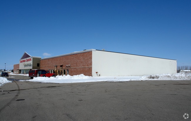
1845 Highway 59 S, Thief River Falls, MN 56701

Property Detail
1845 Highway 59 S
R-25.04200810
BARNICKS FIRST ADDITION LOTS 7 THRU 10 BLK 1 LESS HWY
Commercialnec
Pennington
B and X Area of moderate flood hazard, usually the area between the limits of the 100-year and 500-year floods.
Minnesota
2025
7-10
2024
3.73 AC
090500
Minnesota North Area
39,616 SF
Other Market Areas
NEARBY LISTINGS FOR SALE OR LEASE
-
-
View all Thief River Falls listings for sale on LoopNet.com
DEMOGRAPHICS near 1845 Highway 59 S
1 mile
3 mile
5 mile
2024 Total Population
3,228
10,101
10,894
2029 Population
3,231
10,070
10,836
Pop Growth 2024-2029
+ 0.09%
(0.31%)
(0.53%)
Average Age
41
41
41
2024 Total Households
1,425
4,555
4,866
HH Growth 2024-2029
0.00%
(0.37%)
(0.60%)
Median Household Inc
$67,796
$68,203
$69,025
Avg Household Size
2.20
2.10
2.10
2024 Avg HH Vehicles
2.00
2.00
2.00
Median Home Value
$191,162
$189,608
$193,299
Median Year Built
1974
1972
1972
Nearby Places
Map Layers
Map Styles
 Street
 Aerial
Transit
 Traffic
 Biking
Places
Listings with unknown addresses are not visible on the map
- Restaurants
- Banks
- Shops
- Fitness
- Groceries
SALE & LEASE HISTORY
LISTING DATE
SALE/LEASE

Sep 24, 2016
For Sale
Nearby Properties
Address
Land Use
TOTAL SIZE
Lot Size
Zoning
Address
Land Use
TOTAL SIZE
Lot Size
Zoning
Address
Land Use
TOTAL SIZE
Lot Size
Zoning
2,221,742 SF
98.87 AC
Address
Land Use
TOTAL SIZE
Lot Size
Zoning
14.10 AC
Address
Land Use
TOTAL SIZE
Lot Size
Zoning
Address
Land Use
TOTAL SIZE
Lot Size
Zoning
Address
Land Use
TOTAL SIZE
Lot Size
Zoning
Address
Land Use
TOTAL SIZE
Lot Size
Zoning
Address
Land Use
TOTAL SIZE
Lot Size
Zoning
Address
Land Use
TOTAL SIZE
Lot Size
Zoning
64,217 SF
8.62 AC
Address
Land Use
TOTAL SIZE
Lot Size
Zoning
158,754 SF
19.38 AC
Address
Land Use
TOTAL SIZE
Lot Size
Zoning
115,153 SF
0.33 AC
Address
Land Use
TOTAL SIZE
Lot Size
Zoning
Address
Land Use
TOTAL SIZE
Lot Size
Zoning
Address
Land Use
TOTAL SIZE
Lot Size
Zoning
Address
Land Use
TOTAL SIZE
Lot Size
Zoning
Address
Land Use
TOTAL SIZE
Lot Size
Zoning
Address
Land Use
TOTAL SIZE
Lot Size
Zoning
Address
Land Use
TOTAL SIZE
Lot Size
Zoning
Address
Land Use
TOTAL SIZE
Lot Size
Zoning
38,295 SF
1.68 AC
Address
Land Use
TOTAL SIZE
Lot Size
Zoning
Address
Land Use
TOTAL SIZE
Lot Size
Zoning
Address
Land Use
TOTAL SIZE
Lot Size
Zoning
Address
Land Use
TOTAL SIZE
Lot Size
Zoning
Address
Land Use
TOTAL SIZE
Lot Size
Zoning
Address
Land Use
TOTAL SIZE
Lot Size
Zoning
Address
Land Use
TOTAL SIZE
Lot Size
Zoning
Address
Land Use
TOTAL SIZE
Lot Size
Zoning
27,116 SF
1.62 AC
Address
Land Use
TOTAL SIZE
Lot Size
Zoning
24,021 SF
2.45 AC
Address
Land Use
TOTAL SIZE
Lot Size
Zoning
16,671 SF
2.81 AC
The World's #1 Commercial Real Estate Marketplace
Connect with us
© 2026 CoStar Group
The information above has been obtained from sources believed reliable. While we do not doubt its accuracy we have not verified it and make no guarantee, warranty or representation about it. It is your responsibility to independently confirm its accuracy and completeness. Any projections, opinions, assumptions, or estimates used are for example only and do not represent the current or future performance of the property. The value of this transaction to you depends on tax and other factors which should be evaluated by your tax, financial, and legal advisors. You and your advisors should conduct a careful, independent investigation of the property to determine to your satisfaction the suitability of the property for your needs.