Property Record
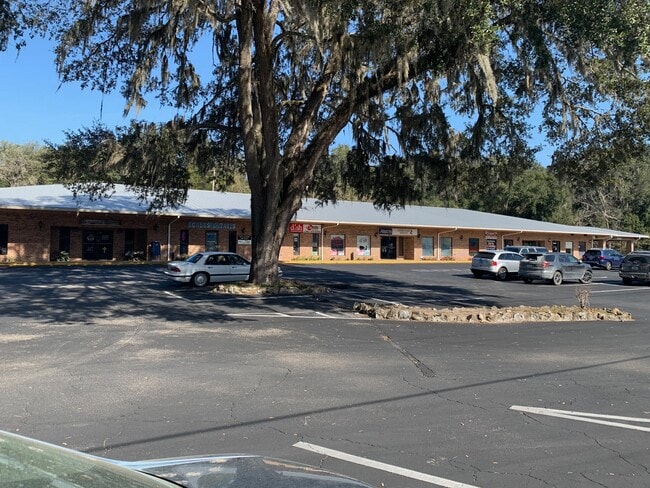
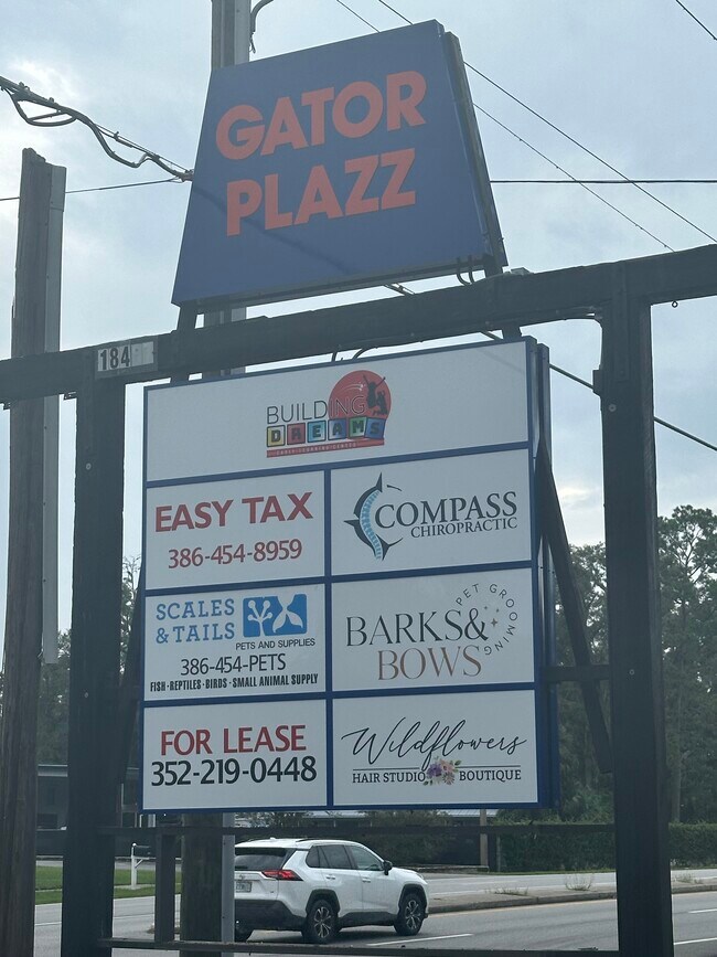
18467 Nw Us Highway 441, High Springs, FL 32643
NEARBY LISTINGS FOR SALE OR LEASE
Property Detail
18467 Nw Us Highway 441
Gainesville, FL
G.M.Whetstone Est.Addn To H.S.
00452-001-000
D E WHETSTONE EST ADDN PB A-46 1/2 COM NWLY COR LOT 6 BLK 6 S 25 DEG 48 MIN 27 SEC W 200 FT POB S 64 DEG 07 MIN 43 SEC E 150 FT N 25 DEG 48 MIN 27 SEC E 30 FT S 64 DEG 07 MIN 43 SEC E 150 FT S 64 DEG 07 MIN 43 SEC E 30 FT S 12 DEG 48 MIN 58 SEC W 133
Regionalshoppingcenterormallwithanchorstore
Alachua
X
Florida
12001C0105D
6
2025
1.76 AC
2025
Gainesville
001816
Other Market Areas
14,984 SF
DEMOGRAPHICS near 18467 Nw Us Highway 441
1 Mile
3 Mile
5 Mile
2024 Total Population
3,177
8,505
13,572
2029 Population
3,421
9,122
14,493
Pop Growth 2024-2029
+ 7.68%
+ 7.25%
+ 6.79%
Average Age
40
41
42
2024 Total Households
1,269
3,309
5,291
HH Growth 2024-2029
+ 7.80%
+ 7.40%
+ 6.99%
Median Household Inc
$72,916
$75,238
$74,827
Avg Household Size
2.50
2.60
2.60
2024 Avg HH Vehicles
2.00
2.00
2.00
Median Home Value
$207,443
$239,687
$240,307
Median Year Built
1995
1997
1997
Nearby Places
- Restaurants
- Banks
- Shops
- Fitness
- Groceries
PUBLIC TRANSPORTATION
AIRPORT
Gainesville Regional
DRIVE
WALK
Distance
Gainesville Regional
37 min
23.1 mi
Freight Ports
Jacksonville Port
DRIVE
WALK
Distance
Jacksonville Port
117 min
90.6 mi
SALE & LEASE HISTORY
LISTING DATE
SALE/LEASE

Jun 22, 2020
For Lease
Jul 20, 2022
For Lease
Jan 31, 2020
For Sale
Apr 19, 2024
For Lease
Nearby Properties
Address
Land Use
TOTAL SIZE
Lot Size
Zoning
Address
Land Use
TOTAL SIZE
Lot Size
Zoning
245,766 SF
27.16 AC
R2
Address
Land Use
TOTAL SIZE
Lot Size
Zoning
76,591 SF
263.12 AC
R1
Address
Land Use
TOTAL SIZE
Lot Size
Zoning
64,348 SF
8.84 AC
C3
Address
Land Use
TOTAL SIZE
Lot Size
Zoning
34,579 SF
4.87 AC
C2
Address
Land Use
TOTAL SIZE
Lot Size
Zoning
25,077 SF
20.38 AC
C-3
Address
Land Use
TOTAL SIZE
Lot Size
Zoning
56,855 SF
8.20 AC
C3
Address
Land Use
TOTAL SIZE
Lot Size
Zoning
44,540 SF
5.23 AC
C3
Address
Land Use
TOTAL SIZE
Lot Size
Zoning
50,757 SF
83.01 AC
R1
Address
Land Use
TOTAL SIZE
Lot Size
Zoning
25,566 SF
17.76 AC
A
Address
Land Use
TOTAL SIZE
Lot Size
Zoning
36,092 SF
2.81 AC
R2
Address
Land Use
TOTAL SIZE
Lot Size
Zoning
9,369 SF
6.90 AC
C2
Address
Land Use
TOTAL SIZE
Lot Size
Zoning
110,796 SF
7.08 AC
I
Address
Land Use
TOTAL SIZE
Lot Size
Zoning
26,920 SF
1.95 AC
I
Address
Land Use
TOTAL SIZE
Lot Size
Zoning
21,499 SF
6 AC
C3
Address
Land Use
TOTAL SIZE
Lot Size
Zoning
19,146 SF
2 AC
C1
Address
Land Use
TOTAL SIZE
Lot Size
Zoning
11,462 SF
0.80 AC
C2
Address
Land Use
TOTAL SIZE
Lot Size
Zoning
7,860 SF
126.96 AC
A
Address
Land Use
TOTAL SIZE
Lot Size
Zoning
16,521 SF
205.76 AC
R1
Address
Land Use
TOTAL SIZE
Lot Size
Zoning
12,076 SF
1.27 AC
C3
Address
Land Use
TOTAL SIZE
Lot Size
Zoning
47,116 SF
12.01 AC
I
Address
Land Use
TOTAL SIZE
Lot Size
Zoning
5,688 SF
237.81 AC
A
Address
Land Use
TOTAL SIZE
Lot Size
Zoning
22,016 SF
5.01 AC
C3
Address
Land Use
TOTAL SIZE
Lot Size
Zoning
23,171 SF
1.92 AC
C1
Address
Land Use
TOTAL SIZE
Lot Size
Zoning
11,200 SF
3.56 AC
I
Address
Land Use
TOTAL SIZE
Lot Size
Zoning
47,621 SF
4.72 AC
I
Address
Land Use
TOTAL SIZE
Lot Size
Zoning
500 AC
A-1
Address
Land Use
TOTAL SIZE
Lot Size
Zoning
14,263 SF
4.54 AC
C3
Address
Land Use
TOTAL SIZE
Lot Size
Zoning
9,659 SF
0.54 AC
C3
Address
Land Use
TOTAL SIZE
Lot Size
Zoning
10,976 SF
7 AC
R1
Address
Land Use
TOTAL SIZE
Lot Size
Zoning
13,600 SF
0.98 AC
I
The World's #1 Commercial Real Estate Marketplace
Connect with us
© 2025 CoStar Group
The information above has been obtained from sources believed reliable. While we do not doubt its accuracy we have not verified it and make no guarantee, warranty or representation about it. It is your responsibility to independently confirm its accuracy and completeness. Any projections, opinions, assumptions, or estimates used are for example only and do not represent the current or future performance of the property. The value of this transaction to you depends on tax and other factors which should be evaluated by your tax, financial, and legal advisors. You and your advisors should conduct a careful, independent investigation of the property to determine to your satisfaction the suitability of the property for your needs.