Property Record
1562 Rodeo Rd, Santa Fe, NM 87505


NEARBY LISTINGS FOR SALE OR LEASE
Property Detail
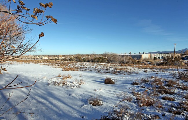
1562 Rodeo Rd
Santa Fe, NM
Split Plat Tract
099309180
LOT B, TRACT A, S2 T16N R9E
Vacantlandnec
Santa Fe
X
New Mexico
35049C0414E
b
2025
0.60 AC
2025
Southwest Santa Fe
001102
Other Market Areas
DEMOGRAPHICS near 1562 Rodeo Rd
1 Mile
3 Mile
5 Mile
2024 Total Population
7,782
46,070
94,537
2029 Population
8,014
46,953
97,153
Pop Growth 2024-2029
+ 2.98%
+ 1.92%
+ 2.77%
Average Age
49
48
46
2024 Total Households
3,888
22,219
43,187
HH Growth 2024-2029
+ 2.80%
+ 1.93%
+ 2.78%
Median Household Inc
$77,250
$65,859
$68,434
Avg Household Size
2.00
2.00
2.10
2024 Avg HH Vehicles
2.00
2.00
2.00
Median Home Value
$362,734
$361,884
$379,877
Median Year Built
1984
1982
1986
Nearby Places
Map Layers
Map Styles
 Street
 Aerial
- Restaurants
- Banks
- Shops
- Fitness
- Groceries
PUBLIC TRANSPORTATION
COMMUTER RAIL
Zia Road Rail Runner Station (NMRX - Rio Metro Regional Transit District)
DRIVE
WALK
Distance
Zia Road Rail Runner Station (NMRX - Rio Metro Regional Transit District)
3 min
17 min
0.9 mi
Zia Road (Rail Runner Express - New Mexico Rail Runner Express)
DRIVE
WALK
Distance
Zia Road (Rail Runner Express - New Mexico Rail Runner Express)
4 min
17 min
0.9 mi
AIRPORT
Santa Fe Regional
DRIVE
WALK
Distance
Santa Fe Regional
16 min
7.7 mi
Freight Ports
Tulsa Port Of Catoosa
DRIVE
WALK
Distance
Tulsa Port Of Catoosa
685 min
653.2 mi
SALE & LEASE HISTORY
LISTING DATE
SALE/LEASE

Sep 24, 2016
For Sale
Nearby Properties
Address
Land Use
TOTAL SIZE
Lot Size
Zoning
Address
Land Use
TOTAL SIZE
Lot Size
Zoning
103.78 AC
Address
Land Use
TOTAL SIZE
Lot Size
Zoning
Address
Land Use
TOTAL SIZE
Lot Size
Zoning
Address
Land Use
TOTAL SIZE
Lot Size
Zoning
0.80 AC
Address
Land Use
TOTAL SIZE
Lot Size
Zoning
17.18 AC
Address
Land Use
TOTAL SIZE
Lot Size
Zoning
21.49 AC
Address
Land Use
TOTAL SIZE
Lot Size
Zoning
130.13 AC
Address
Land Use
TOTAL SIZE
Lot Size
Zoning
40.65 AC
Address
Land Use
TOTAL SIZE
Lot Size
Zoning
Address
Land Use
TOTAL SIZE
Lot Size
Zoning
26.30 AC
Address
Land Use
TOTAL SIZE
Lot Size
Zoning
7.30 AC
Address
Land Use
TOTAL SIZE
Lot Size
Zoning
8.02 AC
Address
Land Use
TOTAL SIZE
Lot Size
Zoning
11.98 AC
Address
Land Use
TOTAL SIZE
Lot Size
Zoning
Address
Land Use
TOTAL SIZE
Lot Size
Zoning
13.79 AC
Address
Land Use
TOTAL SIZE
Lot Size
Zoning
Address
Land Use
TOTAL SIZE
Lot Size
Zoning
25.42 AC
Address
Land Use
TOTAL SIZE
Lot Size
Zoning
26.58 AC
Address
Land Use
TOTAL SIZE
Lot Size
Zoning
0.45 AC
Address
Land Use
TOTAL SIZE
Lot Size
Zoning
2,544 SF
6.09 AC
Address
Land Use
TOTAL SIZE
Lot Size
Zoning
4.58 AC
Address
Land Use
TOTAL SIZE
Lot Size
Zoning
Address
Land Use
TOTAL SIZE
Lot Size
Zoning
Address
Land Use
TOTAL SIZE
Lot Size
Zoning
2.08 AC
Address
Land Use
TOTAL SIZE
Lot Size
Zoning
85,032 SF
3.39 AC
Address
Land Use
TOTAL SIZE
Lot Size
Zoning
3.18 AC
Address
Land Use
TOTAL SIZE
Lot Size
Zoning
445 SF
5.40 AC
Address
Land Use
TOTAL SIZE
Lot Size
Zoning
Address
Land Use
TOTAL SIZE
Lot Size
Zoning
Address
Land Use
TOTAL SIZE
Lot Size
Zoning
10.42 AC
The World's #1 Commercial Real Estate Marketplace
Connect with us
© 2026 CoStar Group
The information above has been obtained from sources believed reliable. While we do not doubt its accuracy we have not verified it and make no guarantee, warranty or representation about it. It is your responsibility to independently confirm its accuracy and completeness. Any projections, opinions, assumptions, or estimates used are for example only and do not represent the current or future performance of the property. The value of this transaction to you depends on tax and other factors which should be evaluated by your tax, financial, and legal advisors. You and your advisors should conduct a careful, independent investigation of the property to determine to your satisfaction the suitability of the property for your needs.