Property Record
1922 S Independence Pkwy, Mckinney, TX 75072


Property Detail
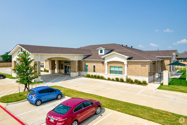
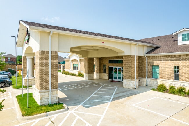
1922 S Independence Pkwy
Dallas-Fort Worth-Arlington, TX
HEIGHTS AT WESTRIDGE PLANNING AREA 12 PARCEL 1209 THE, BLK A, LOT 6R; (REPLAT)
R-10891-00A-006R-1
COLLIN
Commercialnec
Texas
B and X Area of moderate flood hazard, usually the area between the limits of the 100-year and 500-year floods.
6r
2025
2.16 AC
2025
McKinney
030536
Dallas/Ft Worth
17,105 SF
NEARBY LISTINGS FOR SALE OR LEASE
DEMOGRAPHICS near 1922 S Independence Pkwy
1 mile
3 mile
5 mile
2025 Total Population
20,484
119,511
288,511
2030 Population
23,048
136,128
329,883
Pop Growth 2025-2030
+ 12.52%
+ 13.90%
+ 14.34%
Average Age
34
36
37
2025 Total Households
5,993
37,709
97,092
HH Growth 2025-2030
+ 12.76%
+ 14.05%
+ 14.57%
Median Household Inc
$154,869
$163,801
$149,121
Avg Household Size
3.40
3.10
2.90
2025 Avg HH Vehicles
2.00
2.00
2.00
Median Home Value
$564,382
$651,290
$629,605
Median Year Built
2010
2010
2010
Nearby Places
Map Layers
Map Styles
 Street
 Aerial
Transit
 Traffic
 Biking
Places
Listings with unknown addresses are not visible on the map
- Restaurants
- Banks
- Shops
- Fitness
- Groceries
PUBLIC TRANSPORTATION
AIRPORT
Dallas Love Field
Drive
Walk
Distance
Dallas Love Field
41 min
29.9 mi
Dallas-Fort Worth International
Drive
Walk
Distance
Dallas-Fort Worth International
38 min
30.7 mi
Nearby Properties
Address
Land Use
TOTAL SIZE
Lot Size
Zoning
Address
Land Use
TOTAL SIZE
Lot Size
Zoning
882,734 SF
98.26 AC
Address
Land Use
TOTAL SIZE
Lot Size
Zoning
621,249 SF
80.03 AC
Address
Land Use
TOTAL SIZE
Lot Size
Zoning
494,378 SF
57.29 AC
Address
Land Use
TOTAL SIZE
Lot Size
Zoning
490,246 SF
24.39 AC
MF-M
Address
Land Use
TOTAL SIZE
Lot Size
Zoning
466,467 SF
46.81 AC
Address
Land Use
TOTAL SIZE
Lot Size
Zoning
493,621 SF
17 AC
APTS
Address
Land Use
TOTAL SIZE
Lot Size
Zoning
505,541 SF
19.78 AC
SFR
Address
Land Use
TOTAL SIZE
Lot Size
Zoning
218,013 SF
32.85 AC
AG
Address
Land Use
TOTAL SIZE
Lot Size
Zoning
357,097 SF
19.68 AC
MF-M
Address
Land Use
TOTAL SIZE
Lot Size
Zoning
348,136 SF
23.07 AC
MF-L
Address
Land Use
TOTAL SIZE
Lot Size
Zoning
345,998 SF
17.81 AC
MF-M
Address
Land Use
TOTAL SIZE
Lot Size
Zoning
386,153 SF
13.83 AC
Address
Land Use
TOTAL SIZE
Lot Size
Zoning
357,411 SF
13.59 AC
MF-M
Address
Land Use
TOTAL SIZE
Lot Size
Zoning
352,475 SF
16.80 AC
MF-M
Address
Land Use
TOTAL SIZE
Lot Size
Zoning
300,789 SF
43.28 AC
Address
Land Use
TOTAL SIZE
Lot Size
Zoning
275,288 SF
19.40 AC
MF-M
Address
Land Use
TOTAL SIZE
Lot Size
Zoning
309,073 SF
32.96 AC
Address
Land Use
TOTAL SIZE
Lot Size
Zoning
251,455 SF
35.62 AC
Address
Land Use
TOTAL SIZE
Lot Size
Zoning
282,528 SF
5.14 AC
MF-R
Address
Land Use
TOTAL SIZE
Lot Size
Zoning
264,070 SF
15.74 AC
MF-M
Address
Land Use
TOTAL SIZE
Lot Size
Zoning
243,827 SF
13.23 AC
MF
Address
Land Use
TOTAL SIZE
Lot Size
Zoning
201,902 SF
11.22 AC
MF-M
Address
Land Use
TOTAL SIZE
Lot Size
Zoning
185,434 SF
13.70 AC
MF-M
Address
Land Use
TOTAL SIZE
Lot Size
Zoning
144,141 SF
17.78 AC
Address
Land Use
TOTAL SIZE
Lot Size
Zoning
168,422 SF
17.11 AC
PD
Address
Land Use
TOTAL SIZE
Lot Size
Zoning
124.08 AC
COMM
Address
Land Use
TOTAL SIZE
Lot Size
Zoning
224,254 SF
21.01 AC
SFR
Address
Land Use
TOTAL SIZE
Lot Size
Zoning
118,608 SF
5.24 AC
Address
Land Use
TOTAL SIZE
Lot Size
Zoning
132,636 SF
33.53 AC
Address
Land Use
TOTAL SIZE
Lot Size
Zoning
96,173 SF
13.92 AC
The World's #1 Commercial Real Estate Marketplace
Connect with us
© 2026 CoStar Group
The information above has been obtained from sources believed reliable. While we do not doubt its accuracy we have not verified it and make no guarantee, warranty or representation about it. It is your responsibility to independently confirm its accuracy and completeness. Any projections, opinions, assumptions, or estimates used are for example only and do not represent the current or future performance of the property. The value of this transaction to you depends on tax and other factors which should be evaluated by your tax, financial, and legal advisors. You and your advisors should conduct a careful, independent investigation of the property to determine to your satisfaction the suitability of the property for your needs.