Property Record
1877 Madison Rd, Beloit, WI 53511
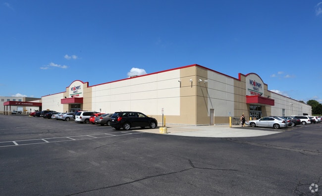

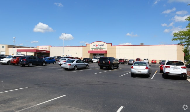
Property Detail
1877 Madison Rd
Janesville-Beloit, WI
LOT 1 CSM VOL 29 PGS 83-86
128-10060
ROCK
Commercialnec
Wisconsin
B and X Area of moderate flood hazard, usually the area between the limits of the 100-year and 500-year floods.
1
2025
17.06 AC
2025
Rock County
002100
Milwaukee/Madison
186,691 SF
NEARBY LISTINGS FOR SALE OR LEASE
DEMOGRAPHICS near 1877 Madison Rd
1 mile
3 mile
5 mile
2025 Total Population
4,213
36,590
59,654
2030 Population
4,216
36,836
60,144
Pop Growth 2025-2030
+ 0.07%
+ 0.67%
+ 0.82%
Average Age
41
39
40
2025 Total Households
1,765
14,035
23,322
HH Growth 2025-2030
+ 0.06%
+ 0.69%
+ 0.83%
Median Household Inc
$58,976
$57,899
$66,343
Avg Household Size
2.30
2.40
2.40
2025 Avg HH Vehicles
2.00
2.00
2.00
Median Home Value
$155,810
$154,733
$176,510
Median Year Built
1960
1955
1964
Nearby Places
Map Layers
Map Styles
 Street
 Aerial
Transit
 Traffic
 Biking
Places
Listings with unknown addresses are not visible on the map
- Restaurants
- Banks
- Shops
- Fitness
- Groceries
PUBLIC TRANSPORTATION
AIRPORT
Chicago/Rockford International
Drive
Walk
Distance
Chicago/Rockford International
48 min
34.8 mi
Freight Ports
Port Milwaukee
Drive
Walk
Distance
Port Milwaukee
94 min
77.5 mi
Nearby Properties
Address
Land Use
TOTAL SIZE
Lot Size
Zoning
Address
Land Use
TOTAL SIZE
Lot Size
Zoning
202,676 SF
19.31 AC
Address
Land Use
TOTAL SIZE
Lot Size
Zoning
3.39 AC
Address
Land Use
TOTAL SIZE
Lot Size
Zoning
3.47 AC
Address
Land Use
TOTAL SIZE
Lot Size
Zoning
3.65 AC
Address
Land Use
TOTAL SIZE
Lot Size
Zoning
361,947 SF
23.26 AC
Address
Land Use
TOTAL SIZE
Lot Size
Zoning
38,012 SF
2.74 AC
Address
Land Use
TOTAL SIZE
Lot Size
Zoning
16,336 SF
9.06 AC
Address
Land Use
TOTAL SIZE
Lot Size
Zoning
32.79 AC
Address
Land Use
TOTAL SIZE
Lot Size
Zoning
296,731 SF
18.14 AC
Address
Land Use
TOTAL SIZE
Lot Size
Zoning
131,218 SF
1.65 AC
Address
Land Use
TOTAL SIZE
Lot Size
Zoning
48,036 SF
1.26 AC
Address
Land Use
TOTAL SIZE
Lot Size
Zoning
7.57 AC
Address
Land Use
TOTAL SIZE
Lot Size
Zoning
47,561 SF
0.58 AC
Address
Land Use
TOTAL SIZE
Lot Size
Zoning
10,456 SF
3.58 AC
Address
Land Use
TOTAL SIZE
Lot Size
Zoning
264,754 SF
6.49 AC
Address
Land Use
TOTAL SIZE
Lot Size
Zoning
82,412 SF
3.94 AC
Address
Land Use
TOTAL SIZE
Lot Size
Zoning
57,745 SF
9.57 AC
Address
Land Use
TOTAL SIZE
Lot Size
Zoning
9,403 SF
6 AC
Address
Land Use
TOTAL SIZE
Lot Size
Zoning
45,972 SF
0.64 AC
Address
Land Use
TOTAL SIZE
Lot Size
Zoning
1,252 SF
103.62 AC
Address
Land Use
TOTAL SIZE
Lot Size
Zoning
14,268 SF
6.79 AC
Address
Land Use
TOTAL SIZE
Lot Size
Zoning
66,654 SF
1.72 AC
Address
Land Use
TOTAL SIZE
Lot Size
Zoning
21,952 SF
2.14 AC
Address
Land Use
TOTAL SIZE
Lot Size
Zoning
21,952 SF
2.14 AC
Address
Land Use
TOTAL SIZE
Lot Size
Zoning
23,715 SF
1.59 AC
Address
Land Use
TOTAL SIZE
Lot Size
Zoning
16,024 SF
6.19 AC
Address
Land Use
TOTAL SIZE
Lot Size
Zoning
46,060 SF
4.63 AC
Address
Land Use
TOTAL SIZE
Lot Size
Zoning
0.39 AC
Address
Land Use
TOTAL SIZE
Lot Size
Zoning
38,644 SF
1.22 AC
The World's #1 Commercial Real Estate Marketplace
Connect with us
© 2026 CoStar Group
The information above has been obtained from sources believed reliable. While we do not doubt its accuracy we have not verified it and make no guarantee, warranty or representation about it. It is your responsibility to independently confirm its accuracy and completeness. Any projections, opinions, assumptions, or estimates used are for example only and do not represent the current or future performance of the property. The value of this transaction to you depends on tax and other factors which should be evaluated by your tax, financial, and legal advisors. You and your advisors should conduct a careful, independent investigation of the property to determine to your satisfaction the suitability of the property for your needs.