Property Record
189 Us Highway 27 S, Sebring, FL 33870
NEARBY LISTINGS FOR SALE OR LEASE
Property Detail
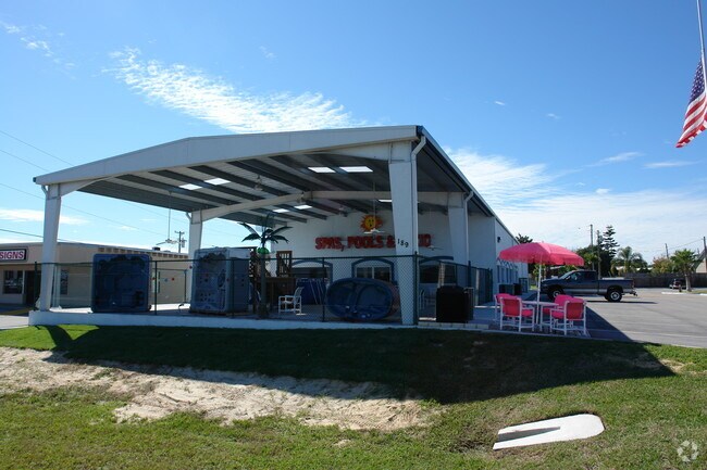
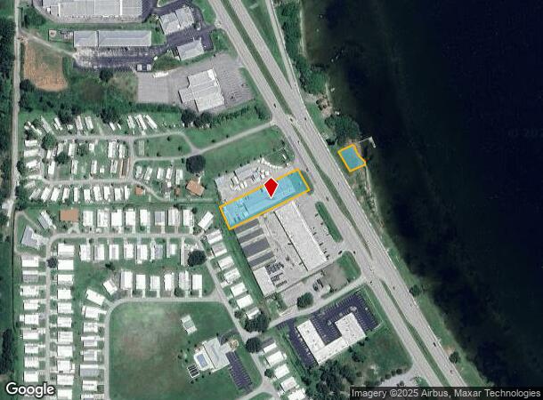
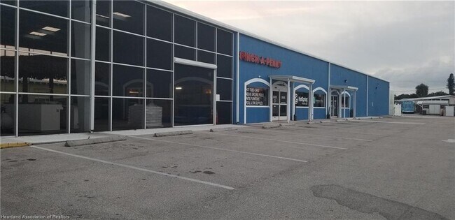
189 Us Highway 27 S
Sebring, FL
West Shore Plaza
S-23-34-28-020-00C0-0050
LAKE JACKSON BLVD SUB TB-PG 10 LOT 5-LESS NWLY 10 FT + LESS HWY R/W BLK C
Storemultistory
Highlands
AE
Florida
12055C0226C
5
2024
0.86 AC
2025
Florida Central South Area
960602
Other Market Areas
5,500 SF
DEMOGRAPHICS near 189 Us Highway 27 S
1 Mile
3 Mile
5 Mile
2024 Total Population
2,722
26,227
48,292
2029 Population
2,960
28,434
52,611
Pop Growth 2024-2029
+ 8.74%
+ 8.41%
+ 8.94%
Average Age
56
51
50
2024 Total Households
1,381
12,073
21,623
HH Growth 2024-2029
+ 8.98%
+ 8.61%
+ 9.07%
Median Household Inc
$32,549
$47,938
$50,164
Avg Household Size
2.00
2.10
2.20
2024 Avg HH Vehicles
1.00
2.00
2.00
Median Home Value
$106,780
$152,228
$150,945
Median Year Built
1984
1983
1985
Nearby Places
Map Layers
Map Styles
 Street
 Aerial
- Restaurants
- Banks
- Shops
- Fitness
- Groceries
PUBLIC TRANSPORTATION
COMMUTER RAIL
DRIVE
WALK
Distance
9 min
4.6 mi
SALE & LEASE HISTORY
LISTING DATE
SALE/LEASE

Jun 15, 2021
For Sale
Nearby Properties
Address
Land Use
TOTAL SIZE
Lot Size
Zoning
Address
Land Use
TOTAL SIZE
Lot Size
Zoning
235,165 SF
33.99 AC
B3
Address
Land Use
TOTAL SIZE
Lot Size
Zoning
224,707 SF
31.63 AC
PU
Address
Land Use
TOTAL SIZE
Lot Size
Zoning
114,905 SF
3.34 AC
PU
Address
Land Use
TOTAL SIZE
Lot Size
Zoning
155,486 SF
21.71 AC
C1
Address
Land Use
TOTAL SIZE
Lot Size
Zoning
91,734 SF
2.23 AC
R3
Address
Land Use
TOTAL SIZE
Lot Size
Zoning
114,960 SF
6.68 AC
PU
Address
Land Use
TOTAL SIZE
Lot Size
Zoning
176,175 SF
22.73 AC
C1
Address
Land Use
TOTAL SIZE
Lot Size
Zoning
104,876 SF
33.52 AC
B3
Address
Land Use
TOTAL SIZE
Lot Size
Zoning
320 SF
10.93 AC
C1
Address
Land Use
TOTAL SIZE
Lot Size
Zoning
40,295 SF
1.65 AC
C1
Address
Land Use
TOTAL SIZE
Lot Size
Zoning
58,228 SF
2.64 AC
C1
Address
Land Use
TOTAL SIZE
Lot Size
Zoning
41,224 SF
2.16 AC
C1
Address
Land Use
TOTAL SIZE
Lot Size
Zoning
78,313 SF
18.85 AC
PU
Address
Land Use
TOTAL SIZE
Lot Size
Zoning
137,240 SF
14.46 AC
B3
Address
Land Use
TOTAL SIZE
Lot Size
Zoning
78,361 SF
3.12 AC
PU
Address
Land Use
TOTAL SIZE
Lot Size
Zoning
81,888 SF
4.80 AC
C1
Address
Land Use
TOTAL SIZE
Lot Size
Zoning
76,186 SF
6.38 AC
C1
Address
Land Use
TOTAL SIZE
Lot Size
Zoning
119,540 SF
15.17 AC
B3
Address
Land Use
TOTAL SIZE
Lot Size
Zoning
57,978 SF
3.80 AC
MUQD
Address
Land Use
TOTAL SIZE
Lot Size
Zoning
73,229 SF
14.19 AC
PU
Address
Land Use
TOTAL SIZE
Lot Size
Zoning
64,124 SF
4.16 AC
PU
Address
Land Use
TOTAL SIZE
Lot Size
Zoning
55,072 SF
5.16 AC
MUQD
Address
Land Use
TOTAL SIZE
Lot Size
Zoning
40,085 SF
9.72 AC
R3FUD
Address
Land Use
TOTAL SIZE
Lot Size
Zoning
102,610 SF
5.06 AC
C1
Address
Land Use
TOTAL SIZE
Lot Size
Zoning
31,806 SF
6 AC
R3
Address
Land Use
TOTAL SIZE
Lot Size
Zoning
55,344 SF
8.15 AC
C1
Address
Land Use
TOTAL SIZE
Lot Size
Zoning
388,414 SF
49.99 AC
B4FUD
Address
Land Use
TOTAL SIZE
Lot Size
Zoning
53,846 SF
2.03 AC
C1
Address
Land Use
TOTAL SIZE
Lot Size
Zoning
34,234 SF
3.46 AC
C1
Address
Land Use
TOTAL SIZE
Lot Size
Zoning
40,680 SF
5.29 AC
C1
The World's #1 Commercial Real Estate Marketplace
Connect with us
© 2025 CoStar Group
The information above has been obtained from sources believed reliable. While we do not doubt its accuracy we have not verified it and make no guarantee, warranty or representation about it. It is your responsibility to independently confirm its accuracy and completeness. Any projections, opinions, assumptions, or estimates used are for example only and do not represent the current or future performance of the property. The value of this transaction to you depends on tax and other factors which should be evaluated by your tax, financial, and legal advisors. You and your advisors should conduct a careful, independent investigation of the property to determine to your satisfaction the suitability of the property for your needs.