Property Record
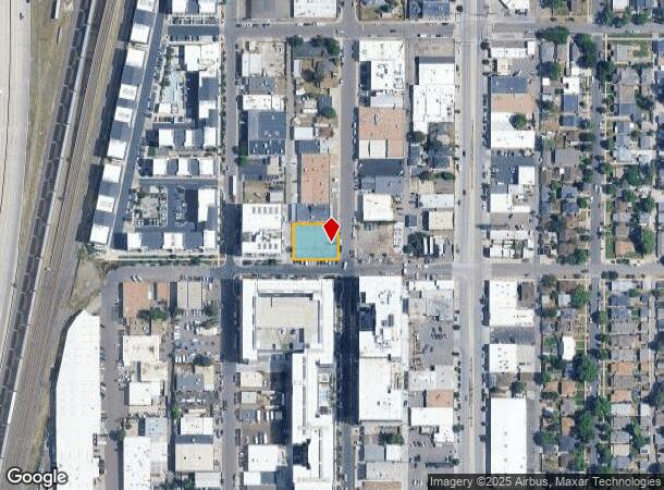
1899 S Acoma St, Denver, CO 80223

This Property Is For Sale
NEARBY LISTINGS FOR SALE OR LEASE
-
-
-
-
-
-
-
-
No Photo
-
-
-
-
-
-
-
-
-
-
-
-
-
View all Denver listings for sale on LoopNet.com
Property Detail
1899 S Acoma St
Denver-Aurora-Lakewood, CO
Overland Park
5226-16-032
OVERLAND PARK B12 L25 TO 28 EXC PT OF L28 BEG NW COR E TO NE COR S 1.25FT NW 125FT TPOB
Commercialnec
Denver
X
Colorado
0800460211J
25
2024
0.28 AC
2024
Southwest Denver
001302
Denver
12,419 SF
DEMOGRAPHICS near 1899 S Acoma St
1 Mile
3 Mile
5 Mile
2024 Total Population
12,930
165,319
478,244
2029 Population
13,040
166,475
482,907
Pop Growth 2024-2029
+ 0.85%
+ 0.70%
+ 0.98%
Average Age
37
38
39
2024 Total Households
5,985
72,117
222,302
HH Growth 2024-2029
+ 0.69%
+ 0.75%
+ 1.11%
Median Household Inc
$107,992
$80,172
$77,547
Avg Household Size
2.10
2.20
2.10
2024 Avg HH Vehicles
2.00
2.00
2.00
Median Home Value
$755,297
$622,472
$590,260
Median Year Built
1949
1959
1968
Nearby Places
- Restaurants
- Banks
- Shops
- Fitness
- Groceries
PUBLIC TRANSPORTATION
TRANSIT/SUBWAY
Evans (C Line - Denver Regional Transportation District Light Rail (TheRide), D Line - Denver Regional Transportation District Light Rail (TheRide))
DRIVE
WALK
Distance
Evans (C Line - Denver Regional Transportation District Light Rail (TheRide), D Line - Denver Regional Transportation District Light Rail (TheRide))
2 min
10 min
0.5 mi
COMMUTER RAIL
Union Station: Lodo-Coors Field-16Th Street Mall (C Line - Denver Regional Transportation District Light Rail (TheRide), E Line - Denver Regional Transportation District Light Rail (TheRide), W Line - Denver Regional Transportation District Light Rail (TheRide))
DRIVE
WALK
Distance
Union Station: Lodo-Coors Field-16Th Street Mall (C Line - Denver Regional Transportation District Light Rail (TheRide), E Line - Denver Regional Transportation District Light Rail (TheRide), W Line - Denver Regional Transportation District Light Rail (TheRide))
11 min
6.0 mi
Denver (California Zephyr - Amtrak)
DRIVE
WALK
Distance
Denver (California Zephyr - Amtrak)
11 min
6.2 mi
AIRPORT
Denver International
DRIVE
WALK
Distance
Denver International
41 min
30.3 mi
Freight Ports
Tulsa Port Of Catoosa
DRIVE
WALK
Distance
Tulsa Port Of Catoosa
738 min
715.8 mi
Nearby Properties
Address
Land Use
TOTAL SIZE
Lot Size
Zoning
Address
Land Use
TOTAL SIZE
Lot Size
Zoning
1,137,044 SF
35.49 AC
CMP-EI
Address
Land Use
TOTAL SIZE
Lot Size
Zoning
441,643 SF
9.79 AC
H-1-B
Address
Land Use
TOTAL SIZE
Lot Size
Zoning
252,992 SF
11.76 AC
B-3
Address
Land Use
TOTAL SIZE
Lot Size
Zoning
550,760 SF
13.25 AC
CMP-EI
Address
Land Use
TOTAL SIZE
Lot Size
Zoning
113,932 SF
9.60 AC
I-B
Address
Land Use
TOTAL SIZE
Lot Size
Zoning
543,122 SF
13.43 AC
CMP-EI
Address
Land Use
TOTAL SIZE
Lot Size
Zoning
416,096 SF
5.20 AC
C-MX-20
Address
Land Use
TOTAL SIZE
Lot Size
Zoning
240,545 SF
2.35 AC
C-MX-20
Address
Land Use
TOTAL SIZE
Lot Size
Zoning
505,731 SF
2.46 AC
G-MU-20
Address
Land Use
TOTAL SIZE
Lot Size
Zoning
281,456 SF
36.55 AC
R-5
Address
Land Use
TOTAL SIZE
Lot Size
Zoning
174,244 SF
17.26 AC
E-SU-DX
Address
Land Use
TOTAL SIZE
Lot Size
Zoning
362,988 SF
4.71 AC
T-MU-30
Address
Land Use
TOTAL SIZE
Lot Size
Zoning
214,192 SF
0.03 AC
Address
Land Use
TOTAL SIZE
Lot Size
Zoning
124,658 SF
2.13 AC
CMP-EI
Address
Land Use
TOTAL SIZE
Lot Size
Zoning
356,004 SF
4.59 AC
C-MX-12
Address
Land Use
TOTAL SIZE
Lot Size
Zoning
341,493 SF
4.22 AC
T-MU-30
Address
Land Use
TOTAL SIZE
Lot Size
Zoning
533,298 SF
3.23 AC
C-MX
Address
Land Use
TOTAL SIZE
Lot Size
Zoning
158,805 SF
3.71 AC
CMP-EI
Address
Land Use
TOTAL SIZE
Lot Size
Zoning
381 SF
66.05 AC
I-B
Address
Land Use
TOTAL SIZE
Lot Size
Zoning
310,910 SF
2.68 AC
C-MX-16
Address
Land Use
TOTAL SIZE
Lot Size
Zoning
205,129 SF
2.94 AC
C-MX-20
Address
Land Use
TOTAL SIZE
Lot Size
Zoning
377,735 SF
1.72 AC
G-RX
Address
Land Use
TOTAL SIZE
Lot Size
Zoning
169,350 SF
19.74 AC
H-1-B
Address
Land Use
TOTAL SIZE
Lot Size
Zoning
67,603 SF
24.89 AC
I-B
Address
Land Use
TOTAL SIZE
Lot Size
Zoning
288,570 SF
2.57 AC
C-MX-16
Address
Land Use
TOTAL SIZE
Lot Size
Zoning
282,798 SF
3.61 AC
C-MX-5
Address
Land Use
TOTAL SIZE
Lot Size
Zoning
451,335 SF
8.39 AC
B-A-3
Address
Land Use
TOTAL SIZE
Lot Size
Zoning
136,519 SF
1.58 AC
S-MX-8
Address
Land Use
TOTAL SIZE
Lot Size
Zoning
148,088 SF
10.61 AC
B-3
Address
Land Use
TOTAL SIZE
Lot Size
Zoning
325,778 SF
3.65 AC
PUD
The World's #1 Commercial Real Estate Marketplace
Connect with us
© 2025 CoStar Group
The information above has been obtained from sources believed reliable. While we do not doubt its accuracy we have not verified it and make no guarantee, warranty or representation about it. It is your responsibility to independently confirm its accuracy and completeness. Any projections, opinions, assumptions, or estimates used are for example only and do not represent the current or future performance of the property. The value of this transaction to you depends on tax and other factors which should be evaluated by your tax, financial, and legal advisors. You and your advisors should conduct a careful, independent investigation of the property to determine to your satisfaction the suitability of the property for your needs.