Property Record
18Th St, Corbin, KY 40701


Property Detail
18Th St
138-10-07-003.01
0.94 AC+- @ 18TH ST
Commercialnec
WHITLEY
COMMERCIAL
Kentucky
A Areas with a 1% annual chance of flooding and a 26% chance of flooding over the life of a 30-year mortgage.
1.35 AC
2024
Corbin/London Area
2024
Other Market Areas
920100
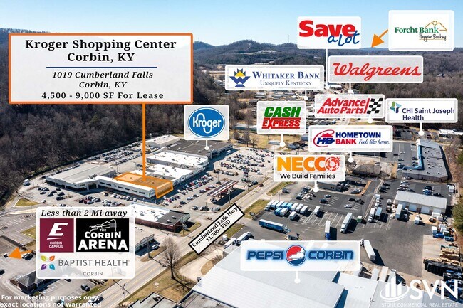
Corbin, KY
2,400 SF
NEARBY LISTINGS FOR SALE OR LEASE
DEMOGRAPHICS near 18Th St
1 mile
3 mile
5 mile
2025 Total Population
2,886
14,945
27,458
2030 Population
2,935
15,144
27,750
Pop Growth 2025-2030
+ 1.70%
+ 1.33%
+ 1.06%
Average Age
39
40
41
2025 Total Households
1,186
6,093
10,974
HH Growth 2025-2030
+ 1.69%
+ 1.40%
+ 1.12%
Median Household Inc
$52,654
$42,660
$44,864
Avg Household Size
2.40
2.40
2.40
2025 Avg HH Vehicles
2.00
2.00
2.00
Median Home Value
$199,672
$180,888
$171,048
Median Year Built
1974
1977
1986
Nearby Places
Map Layers
Map Styles
 Street
 Aerial
Transit
 Traffic
 Biking
Places
Listings with unknown addresses are not visible on the map
- Restaurants
- Banks
- Shops
- Fitness
- Groceries
SALE & LEASE HISTORY
LISTING DATE
SALE/LEASE

Oct 02, 2021
For Lease
Nov 04, 2019
For Lease
Feb 12, 2024
For Lease
Feb 07, 2017
For Lease
Aug 17, 2017
For Lease
Nearby Properties
Address
Land Use
TOTAL SIZE
Lot Size
Zoning
Address
Land Use
TOTAL SIZE
Lot Size
Zoning
84 AC
OTHER
Address
Land Use
TOTAL SIZE
Lot Size
Zoning
3.62 AC
RESIDENTIA
Address
Land Use
TOTAL SIZE
Lot Size
Zoning
8,800 SF
RESIDENTIA
Address
Land Use
TOTAL SIZE
Lot Size
Zoning
120,330 SF
30.64 AC
Address
Land Use
TOTAL SIZE
Lot Size
Zoning
183,211 SF
23.69 AC
R-1
Address
Land Use
TOTAL SIZE
Lot Size
Zoning
OTHER
Address
Land Use
TOTAL SIZE
Lot Size
Zoning
40.03 AC
RESIDENTIA
Address
Land Use
TOTAL SIZE
Lot Size
Zoning
Address
Land Use
TOTAL SIZE
Lot Size
Zoning
124,134 SF
17.26 AC
R-1
Address
Land Use
TOTAL SIZE
Lot Size
Zoning
13.62 AC
R-1
Address
Land Use
TOTAL SIZE
Lot Size
Zoning
84,782 SF
6.37 AC
Address
Land Use
TOTAL SIZE
Lot Size
Zoning
2.35 AC
R-1
Address
Land Use
TOTAL SIZE
Lot Size
Zoning
RESIDENTIA
Address
Land Use
TOTAL SIZE
Lot Size
Zoning
124,760 SF
9.97 AC
Address
Land Use
TOTAL SIZE
Lot Size
Zoning
22.78 AC
OTHER
Address
Land Use
TOTAL SIZE
Lot Size
Zoning
1.21 AC
B2
Address
Land Use
TOTAL SIZE
Lot Size
Zoning
1,792 SF
0.41 AC
Address
Land Use
TOTAL SIZE
Lot Size
Zoning
1,600 SF
4.72 AC
R-1
Address
Land Use
TOTAL SIZE
Lot Size
Zoning
6,600 SF
59.41 AC
R-1
Address
Land Use
TOTAL SIZE
Lot Size
Zoning
1.45 AC
COMMERCIAL
Address
Land Use
TOTAL SIZE
Lot Size
Zoning
2,388 SF
18.23 AC
OTHER
Address
Land Use
TOTAL SIZE
Lot Size
Zoning
12,720 SF
22 AC
R-1
Address
Land Use
TOTAL SIZE
Lot Size
Zoning
16.97 AC
OTHER
Address
Land Use
TOTAL SIZE
Lot Size
Zoning
30,180 SF
1.19 AC
C-1
Address
Land Use
TOTAL SIZE
Lot Size
Zoning
7,970 SF
3.51 AC
R-1
Address
Land Use
TOTAL SIZE
Lot Size
Zoning
7.60 AC
RESIDENTIA
Address
Land Use
TOTAL SIZE
Lot Size
Zoning
Address
Land Use
TOTAL SIZE
Lot Size
Zoning
38,442 SF
9.41 AC
COMMERCIAL
Address
Land Use
TOTAL SIZE
Lot Size
Zoning
1.07 AC
R-1
Address
Land Use
TOTAL SIZE
Lot Size
Zoning
10.16 AC
R-1
The World's #1 Commercial Real Estate Marketplace
Connect with us
© 2026 CoStar Group
The information above has been obtained from sources believed reliable. While we do not doubt its accuracy we have not verified it and make no guarantee, warranty or representation about it. It is your responsibility to independently confirm its accuracy and completeness. Any projections, opinions, assumptions, or estimates used are for example only and do not represent the current or future performance of the property. The value of this transaction to you depends on tax and other factors which should be evaluated by your tax, financial, and legal advisors. You and your advisors should conduct a careful, independent investigation of the property to determine to your satisfaction the suitability of the property for your needs.