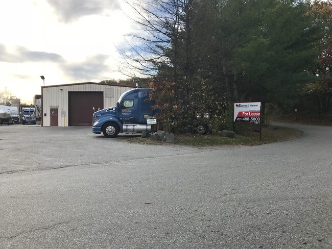
Property Record
19 Edison Ave, Oakland, NJ 07436

Property Detail
19 Edison Ave
New York-Jersey City-White Plains, NY-NJ
0.658 AC
42-00201-0000-00012
Bergen
Industrialgeneral
New Jersey
I1
1
B and X Area of moderate flood hazard, usually the area between the limits of the 100-year and 500-year floods.
0.90 AC
0
Northwest Bergen
2025
Northern New Jersey
039300
NEARBY LISTINGS FOR SALE OR LEASE
-
-
-
17 Van Vooren Drive, Oakland, Bergen County, NJ
Oakland, NJ 07436
Negotiable
4,329 - 17,367 SF
Industrial
-
-
-
-
-
View all Oakland listings for lease on LoopNet.com
DEMOGRAPHICS near 19 Edison Ave
1 mile
3 mile
5 mile
2025 Total Population
2,621
50,868
119,361
2030 Population
2,741
52,798
123,765
Pop Growth 2025-2030
+ 4.58%
+ 3.79%
+ 3.69%
Average Age
43
43
44
2025 Total Households
1,008
18,410
43,222
HH Growth 2025-2030
+ 4.56%
+ 3.73%
+ 3.55%
Median Household Inc
$87,666
$133,809
$133,720
Avg Household Size
2.50
2.70
2.70
2025 Avg HH Vehicles
2.00
2.00
2.00
Median Home Value
$445,000
$509,576
$573,105
Median Year Built
1958
1965
1967
Nearby Places
Map Layers
Map Styles
 Street
 Aerial
Layers
 Traffic
 Biking
Places
Listings with unknown addresses are not visible on the map
- Restaurants
- Banks
- Shops
- Fitness
- Groceries
PUBLIC TRANSPORTATION
COMMUTER RAIL
Waldwick (Bergen County/Port Jervis Line - NJ Transit Commuter Rail (NJ Transit), Main/Port Jervis Line - NJ Transit Commuter Rail (NJ Transit))
Drive
Walk
Distance
Waldwick (Bergen County/Port Jervis Line - NJ Transit Commuter Rail (NJ Transit), Main/Port Jervis Line - NJ Transit Commuter Rail (NJ Transit))
16 min
9.0 mi
Allendale (Bergen County/Port Jervis Line - NJ Transit Commuter Rail (NJ Transit), Main/Port Jervis Line - NJ Transit Commuter Rail (NJ Transit))
Drive
Walk
Distance
Allendale (Bergen County/Port Jervis Line - NJ Transit Commuter Rail (NJ Transit), Main/Port Jervis Line - NJ Transit Commuter Rail (NJ Transit))
17 min
9.6 mi
AIRPORT
LaGuardia
Drive
Walk
Distance
LaGuardia
49 min
32.5 mi
Newark Liberty International
Drive
Walk
Distance
Newark Liberty International
42 min
32.5 mi
Westchester County
Drive
Walk
Distance
Westchester County
56 min
41.4 mi
Freight Ports
Maher Terminal
Drive
Walk
Distance
Maher Terminal
49 min
33.0 mi
SALE & LEASE HISTORY
LISTING DATE
SALE/LEASE

Nov 13, 2017
For Lease
Nearby Properties
Address
Land Use
TOTAL SIZE
Lot Size
Zoning
Address
Land Use
TOTAL SIZE
Lot Size
Zoning
Address
Land Use
TOTAL SIZE
Lot Size
Zoning
128.12 AC
HOBR
Address
Land Use
TOTAL SIZE
Lot Size
Zoning
50.16 AC
CO
Address
Land Use
TOTAL SIZE
Lot Size
Zoning
10.55 AC
IP
Address
Land Use
TOTAL SIZE
Lot Size
Zoning
5.01 AC
IP
Address
Land Use
TOTAL SIZE
Lot Size
Zoning
334,755 SF
107.89 AC
Address
Land Use
TOTAL SIZE
Lot Size
Zoning
23.48 AC
Address
Land Use
TOTAL SIZE
Lot Size
Zoning
8.07 AC
IP
Address
Land Use
TOTAL SIZE
Lot Size
Zoning
14.04 AC
B2
Address
Land Use
TOTAL SIZE
Lot Size
Zoning
10.42 AC
B2
Address
Land Use
TOTAL SIZE
Lot Size
Zoning
231.26 AC
PRC
Address
Land Use
TOTAL SIZE
Lot Size
Zoning
12.49 AC
AHO1
Address
Land Use
TOTAL SIZE
Lot Size
Zoning
13.39 AC
MFAH
Address
Land Use
TOTAL SIZE
Lot Size
Zoning
8.07 AC
SR
Address
Land Use
TOTAL SIZE
Lot Size
Zoning
7.58 AC
R-4
Address
Land Use
TOTAL SIZE
Lot Size
Zoning
1,675.67 AC
Address
Land Use
TOTAL SIZE
Lot Size
Zoning
6.99 AC
IP
Address
Land Use
TOTAL SIZE
Lot Size
Zoning
Address
Land Use
TOTAL SIZE
Lot Size
Zoning
28.69 AC
RA-2
Address
Land Use
TOTAL SIZE
Lot Size
Zoning
6 AC
IP
Address
Land Use
TOTAL SIZE
Lot Size
Zoning
8.87 AC
RA1
Address
Land Use
TOTAL SIZE
Lot Size
Zoning
2,372 SF
5 AC
IP
Address
Land Use
TOTAL SIZE
Lot Size
Zoning
4.96 AC
I3
Address
Land Use
TOTAL SIZE
Lot Size
Zoning
2.50 AC
B2
Address
Land Use
TOTAL SIZE
Lot Size
Zoning
357,779 SF
16.98 AC
Address
Land Use
TOTAL SIZE
Lot Size
Zoning
103,650 SF
4.81 AC
I-1
Address
Land Use
TOTAL SIZE
Lot Size
Zoning
3.07 AC
IP
Address
Land Use
TOTAL SIZE
Lot Size
Zoning
4.48 AC
R-6
Address
Land Use
TOTAL SIZE
Lot Size
Zoning
14.40 AC
Address
Land Use
TOTAL SIZE
Lot Size
Zoning
14 AC
RA3
The World's #1 Commercial Real Estate Marketplace
Connect with us
© 2026 CoStar Group
The information above has been obtained from sources believed reliable. While we do not doubt its accuracy we have not verified it and make no guarantee, warranty or representation about it. It is your responsibility to independently confirm its accuracy and completeness. Any projections, opinions, assumptions, or estimates used are for example only and do not represent the current or future performance of the property. The value of this transaction to you depends on tax and other factors which should be evaluated by your tax, financial, and legal advisors. You and your advisors should conduct a careful, independent investigation of the property to determine to your satisfaction the suitability of the property for your needs.