Property Record
1900 N Rockwell Ave, Bethany, OK 73008


NEARBY LISTINGS FOR SALE OR LEASE
-
-
View all Bethany listings for sale on LoopNet.com
Property Detail
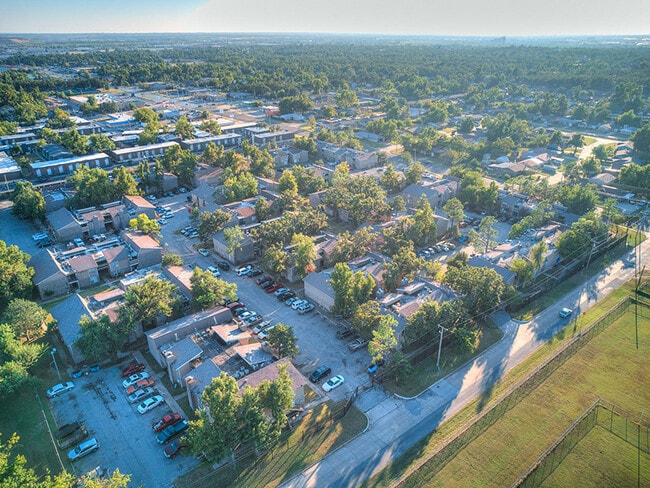
1900 N Rockwell Ave
172872695
Unpltd Pt Sec 28 12N 4W
Multifamilydwelling
UNPLTD PT NW4 SEC 28 12N 4W BEG 660FT N OF SW/C NW4 TH E657.25FT N659.43FT W658.19FT S660FT TO BEG SUBJ TO ESMTS OF RECORD
X
Oklahoma
40027C0025J
Oklahoma
2023
10 AC
2024
West Oklahoma City
106914
Oklahoma City
182,948 SF
Oklahoma City, OK
DEMOGRAPHICS near 1900 N Rockwell Ave
1 Mile
3 Mile
5 Mile
2024 Total Population
16,613
75,936
180,176
2029 Population
17,277
79,127
191,866
Pop Growth 2024-2029
+ 4.00%
+ 4.20%
+ 6.49%
Average Age
37
36
37
2024 Total Households
6,629
29,640
71,875
HH Growth 2024-2029
+ 4.13%
+ 4.15%
+ 6.14%
Median Household Inc
$46,272
$46,007
$53,123
Avg Household Size
2.40
2.50
2.40
2024 Avg HH Vehicles
2.00
2.00
2.00
Median Home Value
$147,842
$138,795
$161,968
Median Year Built
1969
1967
1970
Nearby Places
Map Layers
Map Styles
 Street
 Aerial
- Restaurants
- Banks
- Shops
- Fitness
- Groceries
PUBLIC TRANSPORTATION
COMMUTER RAIL
Oklahoma City (Heartland Flyer - Amtrak)
DRIVE
WALK
Distance
Oklahoma City (Heartland Flyer - Amtrak)
15 min
9.9 mi
AIRPORT
Will Rogers World
DRIVE
WALK
Distance
Will Rogers World
21 min
9.5 mi
Freight Ports
Tulsa Port Of Catoosa
DRIVE
WALK
Distance
Tulsa Port Of Catoosa
142 min
128.7 mi
SALE & LEASE HISTORY
LISTING DATE
SALE/LEASE

Feb 16, 2025
For Sale
Dec 21, 2021
For Sale
Nearby Properties
Address
Land Use
TOTAL SIZE
Lot Size
Zoning
Address
Land Use
TOTAL SIZE
Lot Size
Zoning
388,082 SF
34.03 AC
I-2
Address
Land Use
TOTAL SIZE
Lot Size
Zoning
1,198 SF
145 AC
Address
Land Use
TOTAL SIZE
Lot Size
Zoning
4,896 SF
30.88 AC
Address
Land Use
TOTAL SIZE
Lot Size
Zoning
44,519 SF
3.39 AC
SPUD
Address
Land Use
TOTAL SIZE
Lot Size
Zoning
90,059 SF
14.99 AC
O-2
Address
Land Use
TOTAL SIZE
Lot Size
Zoning
1,194,497 SF
89.98 AC
I-2
Address
Land Use
TOTAL SIZE
Lot Size
Zoning
300,000 SF
123.06 AC
R-1
Address
Land Use
TOTAL SIZE
Lot Size
Zoning
211,626 SF
12.67 AC
PUD
Address
Land Use
TOTAL SIZE
Lot Size
Zoning
279,224 SF
18.75 AC
PUD
Address
Land Use
TOTAL SIZE
Lot Size
Zoning
181,946 SF
4.42 AC
C-4
Address
Land Use
TOTAL SIZE
Lot Size
Zoning
213,085 SF
3.64 AC
Address
Land Use
TOTAL SIZE
Lot Size
Zoning
177,623 SF
12.13 AC
Address
Land Use
TOTAL SIZE
Lot Size
Zoning
336,750 SF
15.53 AC
I-3
Address
Land Use
TOTAL SIZE
Lot Size
Zoning
69,370 SF
O-2
Address
Land Use
TOTAL SIZE
Lot Size
Zoning
294,820 SF
12.17 AC
Address
Land Use
TOTAL SIZE
Lot Size
Zoning
259,024 SF
28.32 AC
R-4
Address
Land Use
TOTAL SIZE
Lot Size
Zoning
182,590 SF
11.35 AC
R-4
Address
Land Use
TOTAL SIZE
Lot Size
Zoning
166,850 SF
9.97 AC
I-2
Address
Land Use
TOTAL SIZE
Lot Size
Zoning
110,391 SF
28.91 AC
I-2
Address
Land Use
TOTAL SIZE
Lot Size
Zoning
223,679 SF
40.52 AC
PUD
Address
Land Use
TOTAL SIZE
Lot Size
Zoning
217,512 SF
8.79 AC
Address
Land Use
TOTAL SIZE
Lot Size
Zoning
83,055 SF
6.25 AC
PUD
Address
Land Use
TOTAL SIZE
Lot Size
Zoning
225,720 SF
9.60 AC
PUD
Address
Land Use
TOTAL SIZE
Lot Size
Zoning
81,491 SF
15 AC
C-3
Address
Land Use
TOTAL SIZE
Lot Size
Zoning
92,373 SF
38.73 AC
I-2
Address
Land Use
TOTAL SIZE
Lot Size
Zoning
239,654 SF
24.50 AC
PUD
Address
Land Use
TOTAL SIZE
Lot Size
Zoning
217,328 SF
11.52 AC
I-3
Address
Land Use
TOTAL SIZE
Lot Size
Zoning
88,098 SF
5.94 AC
C-4
Address
Land Use
TOTAL SIZE
Lot Size
Zoning
1,690 SF
120.39 AC
The World's #1 Commercial Real Estate Marketplace
Connect with us
© 2025 CoStar Group
The information above has been obtained from sources believed reliable. While we do not doubt its accuracy we have not verified it and make no guarantee, warranty or representation about it. It is your responsibility to independently confirm its accuracy and completeness. Any projections, opinions, assumptions, or estimates used are for example only and do not represent the current or future performance of the property. The value of this transaction to you depends on tax and other factors which should be evaluated by your tax, financial, and legal advisors. You and your advisors should conduct a careful, independent investigation of the property to determine to your satisfaction the suitability of the property for your needs.