Property Record
1900 Niles Cortland Rd Se, Warren, OH 44484

Save to a Folder
{{folder.Name}}
{{folder.ListingIds.length}} Properties
{{folder.ListingIds.length}} Property
Create a New Folder
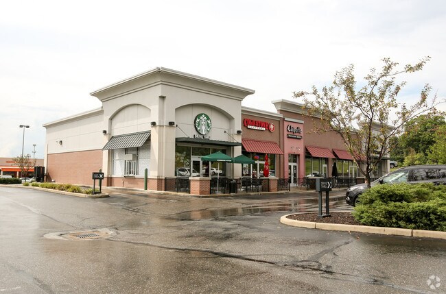
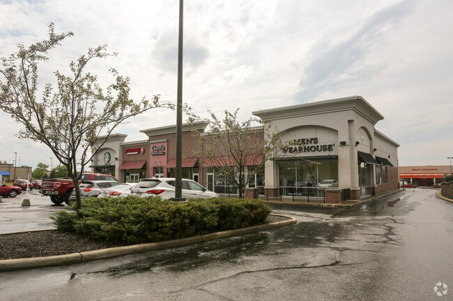
Property Detail
1900 Niles Cortland Rd Se
Youngstown-Warren, OH
1A REPLAT 10.9165A NORTH COMMONS PLAT #1 STATE RT 46
28-902393
TRUMBULL
Wholesaleoutletdiscountstore
Ohio
B and X Area of moderate flood hazard, usually the area between the limits of the 100-year and 500-year floods.
1a
2025
10.92 AC
2025
Niles
932900
Youngstown/Warren/Boardman
111,199 SF
NEARBY LISTINGS FOR SALE OR LEASE
DEMOGRAPHICS near 1900 Niles Cortland Rd Se
1 mile
3 mile
5 mile
2025 Total Population
1,977
40,216
83,242
2030 Population
1,986
39,903
83,142
Pop Growth 2025-2030
+ 0.46%
(0.78%)
(0.12%)
Average Age
44
44
43
2025 Total Households
831
18,183
36,835
HH Growth 2025-2030
+ 0.48%
(0.80%)
(0.21%)
Median Household Inc
$55,714
$53,655
$48,775
Avg Household Size
2.30
2.10
2.20
2025 Avg HH Vehicles
2.00
2.00
2.00
Median Home Value
$214,679
$147,751
$132,025
Median Year Built
1977
1965
1961
Nearby Places
Map Layers
Map Styles
 Street
 Aerial
Layers
 Traffic
 Biking
Places
Listings with unknown addresses are not visible on the map
- Restaurants
- Banks
- Shops
- Fitness
- Groceries
Nearby Properties
Address
Land Use
TOTAL SIZE
Lot Size
Zoning
Address
Land Use
TOTAL SIZE
Lot Size
Zoning
676,583 SF
74.92 AC
Address
Land Use
TOTAL SIZE
Lot Size
Zoning
274,954 SF
6.75 AC
Address
Land Use
TOTAL SIZE
Lot Size
Zoning
8,642 SF
16.50 AC
Address
Land Use
TOTAL SIZE
Lot Size
Zoning
26,544 SF
21.06 AC
Address
Land Use
TOTAL SIZE
Lot Size
Zoning
4,798 SF
41.21 AC
Address
Land Use
TOTAL SIZE
Lot Size
Zoning
142,467 SF
4.40 AC
Address
Land Use
TOTAL SIZE
Lot Size
Zoning
77,500 SF
15.96 AC
Address
Land Use
TOTAL SIZE
Lot Size
Zoning
69,132 SF
10 AC
Address
Land Use
TOTAL SIZE
Lot Size
Zoning
159,850 SF
11.29 AC
Address
Land Use
TOTAL SIZE
Lot Size
Zoning
54,854 SF
9.03 AC
Address
Land Use
TOTAL SIZE
Lot Size
Zoning
145,800 SF
23.19 AC
Address
Land Use
TOTAL SIZE
Lot Size
Zoning
3,181 SF
32.07 AC
Address
Land Use
TOTAL SIZE
Lot Size
Zoning
103,556 SF
14.12 AC
Address
Land Use
TOTAL SIZE
Lot Size
Zoning
164,473 SF
14.34 AC
Address
Land Use
TOTAL SIZE
Lot Size
Zoning
6,864 SF
21.03 AC
Address
Land Use
TOTAL SIZE
Lot Size
Zoning
79,865 SF
9.35 AC
Address
Land Use
TOTAL SIZE
Lot Size
Zoning
13,464 SF
21.34 AC
Address
Land Use
TOTAL SIZE
Lot Size
Zoning
128,670 SF
7.87 AC
Address
Land Use
TOTAL SIZE
Lot Size
Zoning
17.70 AC
Address
Land Use
TOTAL SIZE
Lot Size
Zoning
49,752 SF
11.40 AC
Address
Land Use
TOTAL SIZE
Lot Size
Zoning
1,129 SF
100.32 AC
Address
Land Use
TOTAL SIZE
Lot Size
Zoning
30,850 SF
10.20 AC
Address
Land Use
TOTAL SIZE
Lot Size
Zoning
142,607 SF
4.50 AC
Address
Land Use
TOTAL SIZE
Lot Size
Zoning
6,660 SF
16.87 AC
Address
Land Use
TOTAL SIZE
Lot Size
Zoning
62,764 SF
9.16 AC
Address
Land Use
TOTAL SIZE
Lot Size
Zoning
37,053 SF
16.46 AC
Address
Land Use
TOTAL SIZE
Lot Size
Zoning
135,221 SF
19.17 AC
Address
Land Use
TOTAL SIZE
Lot Size
Zoning
79,349 SF
2.82 AC
Address
Land Use
TOTAL SIZE
Lot Size
Zoning
134,376 SF
23.39 AC
Address
Land Use
TOTAL SIZE
Lot Size
Zoning
62,994 SF
2.15 AC
The World's #1 Commercial Real Estate Marketplace
Connect with us
© 2026 CoStar Group
The information above has been obtained from sources believed reliable. While we do not doubt its accuracy we have not verified it and make no guarantee, warranty or representation about it. It is your responsibility to independently confirm its accuracy and completeness. Any projections, opinions, assumptions, or estimates used are for example only and do not represent the current or future performance of the property. The value of this transaction to you depends on tax and other factors which should be evaluated by your tax, financial, and legal advisors. You and your advisors should conduct a careful, independent investigation of the property to determine to your satisfaction the suitability of the property for your needs.