Property Record
19050 Shevlin Park Rd, Bend, OR 97703
Save to a Folder
{{folder.Name}}
{{folder.ListingIds.length}} Properties
{{folder.ListingIds.length}} Property
Create a New Folder
Property Detail
19050 Shevlin Park Rd
Bend, OR
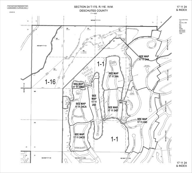
SKYLINE RANCH PHASE II LOT CONSERVATION AREA TR
131969
DESCHUTES
Vacantlanddestroyeduninhabitableimprovement
Oregon
WTZ
conse
B and X Area of moderate flood hazard, usually the area between the limits of the 100-year and 500-year floods.
1.33 AC
2025
Deschutes County
2025
Portland
001102
NEARBY LISTINGS FOR SALE OR LEASE
DEMOGRAPHICS near 19050 Shevlin Park Rd
1 mile
3 mile
5 mile
2025 Total Population
2,386
23,966
72,318
2030 Population
2,504
24,793
74,286
Pop Growth 2025-2030
+ 4.95%
+ 3.45%
+ 2.72%
Average Age
46
44
41
2025 Total Households
937
9,976
29,779
HH Growth 2025-2030
+ 4.91%
+ 3.42%
+ 2.70%
Median Household Inc
$201,062
$139,657
$107,349
Avg Household Size
2.50
2.30
2.40
2025 Avg HH Vehicles
2.00
2.00
2.00
Median Home Value
$1,063,380
$989,753
$818,410
Median Year Built
2010
2003
2000
Nearby Places
Map Layers
Map Styles
 Street
 Aerial
Layers
 Traffic
 Biking
Places
Listings with unknown addresses are not visible on the map
- Restaurants
- Banks
- Shops
- Fitness
- Groceries
PUBLIC TRANSPORTATION
AIRPORT
Roberts Field
Drive
Walk
Distance
Roberts Field
35 min
20.5 mi
Freight Ports
Port of Portland
Drive
Walk
Distance
Port of Portland
238 min
178.6 mi
Nearby Properties
Address
Land Use
TOTAL SIZE
Lot Size
Zoning
Address
Land Use
TOTAL SIZE
Lot Size
Zoning
105,069 SF
4.97 AC
RS
Address
Land Use
TOTAL SIZE
Lot Size
Zoning
4.59 AC
RM
Address
Land Use
TOTAL SIZE
Lot Size
Zoning
146.29 AC
PF
Address
Land Use
TOTAL SIZE
Lot Size
Zoning
146.29 AC
Address
Land Use
TOTAL SIZE
Lot Size
Zoning
146.29 AC
PF
Address
Land Use
TOTAL SIZE
Lot Size
Zoning
17,948 SF
7.52 AC
CL
Address
Land Use
TOTAL SIZE
Lot Size
Zoning
94,548 SF
5.22 AC
CL
Address
Land Use
TOTAL SIZE
Lot Size
Zoning
99,543 SF
9.05 AC
CG
Address
Land Use
TOTAL SIZE
Lot Size
Zoning
384 SF
5.93 AC
CG
Address
Land Use
TOTAL SIZE
Lot Size
Zoning
76,734 SF
4.42 AC
CL
Address
Land Use
TOTAL SIZE
Lot Size
Zoning
20,144 SF
2.74 AC
CL
Address
Land Use
TOTAL SIZE
Lot Size
Zoning
54,116 SF
11.33 AC
RM
Address
Land Use
TOTAL SIZE
Lot Size
Zoning
65,192 SF
4.01 AC
IL
Address
Land Use
TOTAL SIZE
Lot Size
Zoning
22,540 SF
1.21 AC
CL
Address
Land Use
TOTAL SIZE
Lot Size
Zoning
1.43 AC
ME
Address
Land Use
TOTAL SIZE
Lot Size
Zoning
1.43 AC
ME
Address
Land Use
TOTAL SIZE
Lot Size
Zoning
13,440 SF
1.43 AC
ME
Address
Land Use
TOTAL SIZE
Lot Size
Zoning
28,279 SF
1.84 AC
IL
Address
Land Use
TOTAL SIZE
Lot Size
Zoning
54,508 SF
5.63 AC
ME
Address
Land Use
TOTAL SIZE
Lot Size
Zoning
24,396 SF
5.29 AC
RH
Address
Land Use
TOTAL SIZE
Lot Size
Zoning
74,609 SF
1.11 AC
CG
Address
Land Use
TOTAL SIZE
Lot Size
Zoning
28,201 SF
2.19 AC
IL
Address
Land Use
TOTAL SIZE
Lot Size
Zoning
46,348 SF
2.20 AC
RS
Address
Land Use
TOTAL SIZE
Lot Size
Zoning
78,946 SF
1.25 AC
RS
Address
Land Use
TOTAL SIZE
Lot Size
Zoning
44.80 AC
PF
Address
Land Use
TOTAL SIZE
Lot Size
Zoning
34,279 SF
1.99 AC
IL
Address
Land Use
TOTAL SIZE
Lot Size
Zoning
43.23 AC
UAR10
Address
Land Use
TOTAL SIZE
Lot Size
Zoning
0.11 AC
SR2-1/2
Address
Land Use
TOTAL SIZE
Lot Size
Zoning
25,648 SF
2.38 AC
CC
The World's #1 Commercial Real Estate Marketplace
Connect with us
© 2026 CoStar Group
The information above has been obtained from sources believed reliable. While we do not doubt its accuracy we have not verified it and make no guarantee, warranty or representation about it. It is your responsibility to independently confirm its accuracy and completeness. Any projections, opinions, assumptions, or estimates used are for example only and do not represent the current or future performance of the property. The value of this transaction to you depends on tax and other factors which should be evaluated by your tax, financial, and legal advisors. You and your advisors should conduct a careful, independent investigation of the property to determine to your satisfaction the suitability of the property for your needs.