Property Record
1909 Unknown, , FL

Property Detail
1909 Unknown
Palm Bay-Melbourne-Titusville, FL
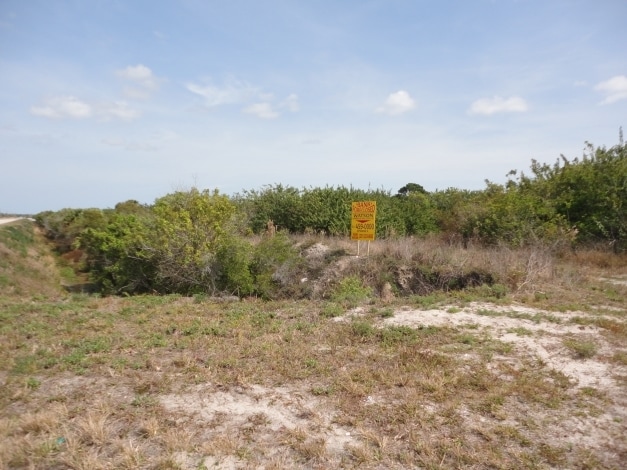
SUNSHINE GROVE UNIT 1 LOTS 3, & 75 THRU 80
30-37-10-26-00000.0-0003.00
BREVARD
Countyproperty
Florida
GU
3
B and X Area of moderate flood hazard, usually the area between the limits of the 100-year and 500-year floods.
6.90 AC
0
Brevard County
2025
Orlando
065236
NEARBY LISTINGS FOR SALE OR LEASE
DEMOGRAPHICS near 1909 Unknown
1 mile
3 mile
5 mile
2025 Total Population
601
8,181
25,891
2030 Population
687
9,090
28,442
Pop Growth 2025-2030
+ 14.31%
+ 11.11%
+ 9.85%
Average Age
51
42
42
2025 Total Households
252
2,953
9,319
HH Growth 2025-2030
+ 13.89%
+ 11.04%
+ 9.56%
Median Household Inc
$123,610
$101,375
$95,459
Avg Household Size
2.40
2.70
2.70
2025 Avg HH Vehicles
2.00
2.00
2.00
Median Home Value
$516,949
$391,463
$345,482
Median Year Built
2006
2005
2005
Nearby Places
Map Layers
Map Styles
 Street
 Aerial
Layers
 Traffic
 Biking
Places
Listings with unknown addresses are not visible on the map
- Restaurants
- Banks
- Shops
- Fitness
- Groceries
PUBLIC TRANSPORTATION
AIRPORT
Melbourne Orlando International
Drive
Walk
Distance
Melbourne Orlando International
31 min
18.4 mi
Freight Ports
Port Canaveral
Drive
Walk
Distance
Port Canaveral
63 min
51.6 mi
Nearby Properties
Address
Land Use
TOTAL SIZE
Lot Size
Zoning
Address
Land Use
TOTAL SIZE
Lot Size
Zoning
111,898 SF
25.04 AC
AU
Address
Land Use
TOTAL SIZE
Lot Size
Zoning
66,453 SF
13.89 AC
Address
Land Use
TOTAL SIZE
Lot Size
Zoning
294.44 AC
GU
Address
Land Use
TOTAL SIZE
Lot Size
Zoning
230.52 AC
GU
Address
Land Use
TOTAL SIZE
Lot Size
Zoning
300 AC
GU
Address
Land Use
TOTAL SIZE
Lot Size
Zoning
636 AC
GML-P
Address
Land Use
TOTAL SIZE
Lot Size
Zoning
123 AC
RR-1
Address
Land Use
TOTAL SIZE
Lot Size
Zoning
2.10 AC
Address
Land Use
TOTAL SIZE
Lot Size
Zoning
58.53 AC
RS2
Address
Land Use
TOTAL SIZE
Lot Size
Zoning
186.78 AC
AU
Address
Land Use
TOTAL SIZE
Lot Size
Zoning
15.25 AC
CC
Address
Land Use
TOTAL SIZE
Lot Size
Zoning
2.19 AC
Address
Land Use
TOTAL SIZE
Lot Size
Zoning
288.90 AC
GML-P
Address
Land Use
TOTAL SIZE
Lot Size
Zoning
142 AC
RR-1
Address
Land Use
TOTAL SIZE
Lot Size
Zoning
240 SF
12.27 AC
CC
Address
Land Use
TOTAL SIZE
Lot Size
Zoning
209.80 AC
GU
Address
Land Use
TOTAL SIZE
Lot Size
Zoning
397.60 AC
GML-P
Address
Land Use
TOTAL SIZE
Lot Size
Zoning
Address
Land Use
TOTAL SIZE
Lot Size
Zoning
39.34 AC
AGR
Address
Land Use
TOTAL SIZE
Lot Size
Zoning
1.12 AC
Address
Land Use
TOTAL SIZE
Lot Size
Zoning
5,560 SF
1.29 AC
IN(L)
Address
Land Use
TOTAL SIZE
Lot Size
Zoning
20.59 AC
Address
Land Use
TOTAL SIZE
Lot Size
Zoning
240 SF
32.41 AC
IU
Address
Land Use
TOTAL SIZE
Lot Size
Zoning
313.89 AC
Address
Land Use
TOTAL SIZE
Lot Size
Zoning
4,516 SF
4.08 AC
IN(L)
Address
Land Use
TOTAL SIZE
Lot Size
Zoning
21.97 AC
RS2
Address
Land Use
TOTAL SIZE
Lot Size
Zoning
3,156 SF
9.24 AC
RR-1
Address
Land Use
TOTAL SIZE
Lot Size
Zoning
5,102 SF
0.80 AC
RS2
Address
Land Use
TOTAL SIZE
Lot Size
Zoning
2,223 SF
14.86 AC
GU
Address
Land Use
TOTAL SIZE
Lot Size
Zoning
230.30 AC
GML-P
The World's #1 Commercial Real Estate Marketplace
Connect with us
© 2026 CoStar Group
The information above has been obtained from sources believed reliable. While we do not doubt its accuracy we have not verified it and make no guarantee, warranty or representation about it. It is your responsibility to independently confirm its accuracy and completeness. Any projections, opinions, assumptions, or estimates used are for example only and do not represent the current or future performance of the property. The value of this transaction to you depends on tax and other factors which should be evaluated by your tax, financial, and legal advisors. You and your advisors should conduct a careful, independent investigation of the property to determine to your satisfaction the suitability of the property for your needs.