Property Record
1909 Unknown, Cocoa, FL 32926
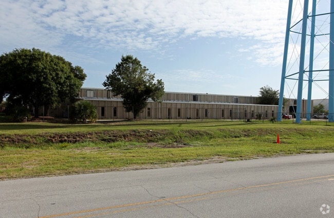

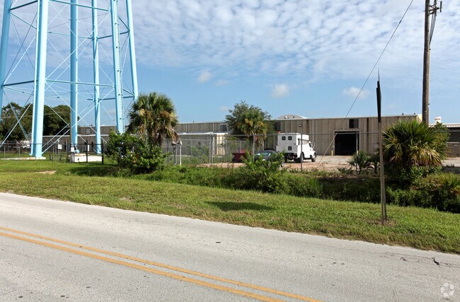

Property Detail
1909 Unknown
24-36-07-00-00039.0-0000.00
PART OF SECT LYING N OF CIDCO RD AS DESC IN ORB 6174 PG 14 PARS 14.1,25,254.2,519,758.2, 759,759.1,779,780
Lightindustrial
BREVARD
M2
Florida
A Areas with a 1% annual chance of flooding and a 26% chance of flooding over the life of a 30-year mortgage.
20.99 AC
2024
Brevard County
2025
Orlando
0621071004
Palm Bay-Melbourne-Titusville, FL
126,270 SF
NEARBY LISTINGS FOR SALE OR LEASE
DEMOGRAPHICS near 1909 Unknown
1 mile
3 mile
5 mile
2025 Total Population
1,991
24,744
77,614
2030 Population
2,141
26,428
82,980
Pop Growth 2025-2030
+ 7.53%
+ 6.81%
+ 6.91%
Average Age
47
43
44
2025 Total Households
847
9,880
31,619
HH Growth 2025-2030
+ 7.20%
+ 6.76%
+ 6.73%
Median Household Inc
$91,583
$56,011
$68,227
Avg Household Size
2.40
2.30
2.30
2025 Avg HH Vehicles
2.00
2.00
2.00
Median Home Value
$307,143
$274,252
$322,446
Median Year Built
1982
1981
1982
Nearby Places
Map Layers
Map Styles
 Street
 Aerial
Layers
 Traffic
 Biking
Places
Listings with unknown addresses are not visible on the map
- Restaurants
- Banks
- Shops
- Fitness
- Groceries
PUBLIC TRANSPORTATION
AIRPORT
Melbourne Orlando International
Drive
Walk
Distance
Melbourne Orlando International
42 min
29.7 mi
Orlando International
Drive
Walk
Distance
Orlando International
43 min
36.8 mi
Nearby Properties
Address
Land Use
TOTAL SIZE
Lot Size
Zoning
Address
Land Use
TOTAL SIZE
Lot Size
Zoning
825,903 SF
94.80 AC
RU17
Address
Land Use
TOTAL SIZE
Lot Size
Zoning
413,008 SF
127.62 AC
GMLH
Address
Land Use
TOTAL SIZE
Lot Size
Zoning
335,014 SF
185.59 AC
M2
Address
Land Use
TOTAL SIZE
Lot Size
Zoning
307,934 SF
13.66 AC
RU215
Address
Land Use
TOTAL SIZE
Lot Size
Zoning
176,670 SF
13.49 AC
CG
Address
Land Use
TOTAL SIZE
Lot Size
Zoning
264,679 SF
59.90 AC
RU17
Address
Land Use
TOTAL SIZE
Lot Size
Zoning
211,753 SF
25.16 AC
CG
Address
Land Use
TOTAL SIZE
Lot Size
Zoning
174,500 SF
13.34 AC
RU-2-10
Address
Land Use
TOTAL SIZE
Lot Size
Zoning
96,878 SF
17.47 AC
CN
Address
Land Use
TOTAL SIZE
Lot Size
Zoning
75,552 SF
9.95 AC
PUD
Address
Land Use
TOTAL SIZE
Lot Size
Zoning
96,814 SF
8.89 AC
RU215
Address
Land Use
TOTAL SIZE
Lot Size
Zoning
144,430 SF
14.02 AC
M2
Address
Land Use
TOTAL SIZE
Lot Size
Zoning
95,535 SF
12.69 AC
AU
Address
Land Use
TOTAL SIZE
Lot Size
Zoning
52,398 SF
9.68 AC
M2
Address
Land Use
TOTAL SIZE
Lot Size
Zoning
86,391 SF
12.02 AC
GU
Address
Land Use
TOTAL SIZE
Lot Size
Zoning
109,153 SF
20 AC
RU17
Address
Land Use
TOTAL SIZE
Lot Size
Zoning
65,645 SF
107.50 AC
GML
Address
Land Use
TOTAL SIZE
Lot Size
Zoning
59,448 SF
6.46 AC
RU2-15
Address
Land Use
TOTAL SIZE
Lot Size
Zoning
107,340 SF
7.64 AC
CR
Address
Land Use
TOTAL SIZE
Lot Size
Zoning
222,813 SF
20.01 AC
CP
Address
Land Use
TOTAL SIZE
Lot Size
Zoning
79,371 SF
12.44 AC
RU17
Address
Land Use
TOTAL SIZE
Lot Size
Zoning
92,025 SF
3.08 AC
RU225
Address
Land Use
TOTAL SIZE
Lot Size
Zoning
7,788 SF
200 AC
GML
Address
Land Use
TOTAL SIZE
Lot Size
Zoning
92,647 SF
7.02 AC
BU-2
Address
Land Use
TOTAL SIZE
Lot Size
Zoning
42,936 SF
27.69 AC
GU
Address
Land Use
TOTAL SIZE
Lot Size
Zoning
27,783 SF
8.91 AC
CN
Address
Land Use
TOTAL SIZE
Lot Size
Zoning
34,296 SF
1.41 AC
RU215
Address
Land Use
TOTAL SIZE
Lot Size
Zoning
38,646 SF
9.23 AC
CN
Address
Land Use
TOTAL SIZE
Lot Size
Zoning
108,970 SF
22.19 AC
IU
The World's #1 Commercial Real Estate Marketplace
Connect with us
© 2026 CoStar Group
The information above has been obtained from sources believed reliable. While we do not doubt its accuracy we have not verified it and make no guarantee, warranty or representation about it. It is your responsibility to independently confirm its accuracy and completeness. Any projections, opinions, assumptions, or estimates used are for example only and do not represent the current or future performance of the property. The value of this transaction to you depends on tax and other factors which should be evaluated by your tax, financial, and legal advisors. You and your advisors should conduct a careful, independent investigation of the property to determine to your satisfaction the suitability of the property for your needs.