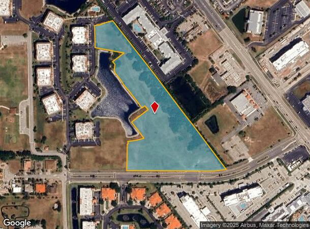
Property Record
1909 Unknown Ln, Cape Canaveral, FL 32920


NEARBY LISTINGS FOR SALE OR LEASE
Property Detail
1909 Unknown Ln
Palm Bay-Melbourne-Titusville, FL
Puerto Del Rio Phase Three
24-37-15-00-00510.0-0000.00
PART OF SECTION LYING WEST OF SR 401 AS DESC IN ORB 5024 PG 1035 EXC ORB 5619 PG 6509 & 5791 PG 6036
Multifamilyacreage
Brevard
X
Florida
12009C0363H
7.70 AC
2024
Brevard County
2025
Orlando
068603
DEMOGRAPHICS near 1909 Unknown Ln
1 Mile
3 Mile
5 Mile
2024 Total Population
5,777
17,895
37,499
2029 Population
6,436
20,417
42,265
Pop Growth 2024-2029
+ 11.41%
+ 14.09%
+ 12.71%
Average Age
52
54
53
2024 Total Households
3,309
10,305
19,997
HH Growth 2024-2029
+ 11.18%
+ 13.96%
+ 12.99%
Median Household Inc
$57,555
$66,290
$74,671
Avg Household Size
1.70
1.70
1.90
2024 Avg HH Vehicles
1.00
1.00
2.00
Median Home Value
$307,634
$353,841
$365,704
Median Year Built
1986
1984
1980
Nearby Places
Map Layers
Map Styles
 Street
 Aerial
- Restaurants
- Banks
- Shops
- Fitness
- Groceries
PUBLIC TRANSPORTATION
AIRPORT
Melbourne Orlando International
DRIVE
WALK
Distance
Melbourne Orlando International
53 min
25.8 mi
Freight Ports
Port Canaveral
DRIVE
WALK
Distance
Port Canaveral
3 min
1.0 mi
SALE & LEASE HISTORY
LISTING DATE
SALE/LEASE

Sep 12, 2023
For Sale
Oct 19, 2020
For Sale
Nearby Properties
Address
Land Use
TOTAL SIZE
Lot Size
Zoning
Address
Land Use
TOTAL SIZE
Lot Size
Zoning
431,568 SF
190 AC
Address
Land Use
TOTAL SIZE
Lot Size
Zoning
211,222 SF
149.12 AC
Address
Land Use
TOTAL SIZE
Lot Size
Zoning
320,279 SF
51.92 AC
PS1
Address
Land Use
TOTAL SIZE
Lot Size
Zoning
127,650 SF
8.38 AC
Address
Land Use
TOTAL SIZE
Lot Size
Zoning
642.79 AC
Address
Land Use
TOTAL SIZE
Lot Size
Zoning
126,317 SF
6.23 AC
C1
Address
Land Use
TOTAL SIZE
Lot Size
Zoning
157,523 SF
6.90 AC
C1
Address
Land Use
TOTAL SIZE
Lot Size
Zoning
115,442 SF
3 AC
C2
Address
Land Use
TOTAL SIZE
Lot Size
Zoning
109,762 SF
3.32 AC
C1
Address
Land Use
TOTAL SIZE
Lot Size
Zoning
47,511 SF
379.81 AC
Address
Land Use
TOTAL SIZE
Lot Size
Zoning
222,527 SF
9.55 AC
C1
Address
Land Use
TOTAL SIZE
Lot Size
Zoning
195,210 SF
10.99 AC
R3
Address
Land Use
TOTAL SIZE
Lot Size
Zoning
107,898 SF
3.41 AC
Address
Land Use
TOTAL SIZE
Lot Size
Zoning
164,552 SF
3.82 AC
R2
Address
Land Use
TOTAL SIZE
Lot Size
Zoning
122,077 SF
4.33 AC
CT1
Address
Land Use
TOTAL SIZE
Lot Size
Zoning
81,694 SF
5.01 AC
C1
Address
Land Use
TOTAL SIZE
Lot Size
Zoning
95,520 SF
4.69 AC
C1
Address
Land Use
TOTAL SIZE
Lot Size
Zoning
111,708 SF
5.55 AC
CN
Address
Land Use
TOTAL SIZE
Lot Size
Zoning
100,707 SF
1.87 AC
CG
Address
Land Use
TOTAL SIZE
Lot Size
Zoning
83,746 SF
15.11 AC
RM1
Address
Land Use
TOTAL SIZE
Lot Size
Zoning
78,379 SF
12.68 AC
R3
Address
Land Use
TOTAL SIZE
Lot Size
Zoning
166,317 SF
12.44 AC
C2
Address
Land Use
TOTAL SIZE
Lot Size
Zoning
80,222 SF
5.51 AC
C2
Address
Land Use
TOTAL SIZE
Lot Size
Zoning
75,326 SF
8.33 AC
CN
Address
Land Use
TOTAL SIZE
Lot Size
Zoning
126,725 SF
11.03 AC
Address
Land Use
TOTAL SIZE
Lot Size
Zoning
61,339 SF
28.83 AC
Address
Land Use
TOTAL SIZE
Lot Size
Zoning
69,068 SF
6.10 AC
Address
Land Use
TOTAL SIZE
Lot Size
Zoning
50,747 SF
2.06 AC
CG
Address
Land Use
TOTAL SIZE
Lot Size
Zoning
77,657 SF
10.86 AC
C2
Address
Land Use
TOTAL SIZE
Lot Size
Zoning
52,120 SF
2.47 AC
CN
The World's #1 Commercial Real Estate Marketplace
Connect with us
© 2025 CoStar Group
The information above has been obtained from sources believed reliable. While we do not doubt its accuracy we have not verified it and make no guarantee, warranty or representation about it. It is your responsibility to independently confirm its accuracy and completeness. Any projections, opinions, assumptions, or estimates used are for example only and do not represent the current or future performance of the property. The value of this transaction to you depends on tax and other factors which should be evaluated by your tax, financial, and legal advisors. You and your advisors should conduct a careful, independent investigation of the property to determine to your satisfaction the suitability of the property for your needs.