Property Record
1909 Unknown, Palm Bay, FL 32907

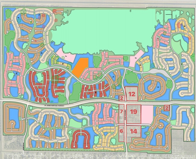
NEARBY LISTINGS FOR SALE OR LEASE
Property Detail
1909 Unknown
28-36-21-00-00255.0-0000.00
PART OF SW 1/4 DESC AS BEGIN AT NW COR TRACT FD1 OF PB 73 PG 64; THENCE CURVE TO LEFT (R 2200 FT; CB N04E) 266.15 FT; THENCE REVERSE CURVE (R 35 FT; CB N45E) 54.64 FT; THENCE S89E 472 FT; THENCE S00W 300 FT; THENCE N89W 525.60 TO POB BEING PART OF CO
Recreationalacreage
Brevard
AE
Florida
12009C0590G
2.12 AC
2024
Brevard County
2025
Orlando
071354
Palm Bay-Melbourne-Titusville, FL
DEMOGRAPHICS near 1909 Unknown
1 Mile
3 Mile
5 Mile
2024 Total Population
2,454
23,982
60,834
2029 Population
2,660
26,283
66,726
Pop Growth 2024-2029
+ 8.39%
+ 9.59%
+ 9.69%
Average Age
42
41
41
2024 Total Households
867
8,527
22,205
HH Growth 2024-2029
+ 8.19%
+ 9.35%
+ 9.46%
Median Household Inc
$58,766
$64,924
$69,343
Avg Household Size
2.80
2.70
2.70
2024 Avg HH Vehicles
2.00
2.00
2.00
Median Home Value
$177,241
$207,302
$237,842
Median Year Built
1993
1991
1994
Nearby Places
Map Layers
Map Styles
 Street
 Aerial
- Restaurants
- Banks
- Shops
- Fitness
- Groceries
PUBLIC TRANSPORTATION
AIRPORT
Melbourne Orlando International
DRIVE
WALK
Distance
Melbourne Orlando International
20 min
10.1 mi
Freight Ports
Port Canaveral
DRIVE
WALK
Distance
Port Canaveral
49 min
38.4 mi
SALE & LEASE HISTORY
LISTING DATE
SALE/LEASE

Jan 10, 2022
For Sale
Nearby Properties
Address
Land Use
TOTAL SIZE
Lot Size
Zoning
Address
Land Use
TOTAL SIZE
Lot Size
Zoning
341,488 SF
66 AC
GU
Address
Land Use
TOTAL SIZE
Lot Size
Zoning
95,944 SF
17.22 AC
GU
Address
Land Use
TOTAL SIZE
Lot Size
Zoning
110,455 SF
17.83 AC
IU
Address
Land Use
TOTAL SIZE
Lot Size
Zoning
29,933 SF
200 AC
GU
Address
Land Use
TOTAL SIZE
Lot Size
Zoning
30.16 AC
Address
Land Use
TOTAL SIZE
Lot Size
Zoning
586.26 AC
GU
Address
Land Use
TOTAL SIZE
Lot Size
Zoning
568.83 AC
GU
Address
Land Use
TOTAL SIZE
Lot Size
Zoning
11.14 AC
Address
Land Use
TOTAL SIZE
Lot Size
Zoning
13,542 SF
2.69 AC
IU
Address
Land Use
TOTAL SIZE
Lot Size
Zoning
Address
Land Use
TOTAL SIZE
Lot Size
Zoning
27.90 AC
AU
Address
Land Use
TOTAL SIZE
Lot Size
Zoning
15,100 SF
5.02 AC
IU
Address
Land Use
TOTAL SIZE
Lot Size
Zoning
4,702 SF
21.05 AC
RS2
Address
Land Use
TOTAL SIZE
Lot Size
Zoning
5,859 SF
1.34 AC
NC
Address
Land Use
TOTAL SIZE
Lot Size
Zoning
58.71 AC
AU
Address
Land Use
TOTAL SIZE
Lot Size
Zoning
69.71 AC
AU
Address
Land Use
TOTAL SIZE
Lot Size
Zoning
Address
Land Use
TOTAL SIZE
Lot Size
Zoning
9,449 SF
1.72 AC
NC
Address
Land Use
TOTAL SIZE
Lot Size
Zoning
10,464 SF
1.05 AC
NC
Address
Land Use
TOTAL SIZE
Lot Size
Zoning
5,262 SF
18.36 AC
RR
Address
Land Use
TOTAL SIZE
Lot Size
Zoning
10.28 AC
AU
Address
Land Use
TOTAL SIZE
Lot Size
Zoning
7,194 SF
0.63 AC
NC
Address
Land Use
TOTAL SIZE
Lot Size
Zoning
17,541 SF
6.59 AC
GU
Address
Land Use
TOTAL SIZE
Lot Size
Zoning
9.18 AC
NC
Address
Land Use
TOTAL SIZE
Lot Size
Zoning
9,172 SF
1.45 AC
NC
Address
Land Use
TOTAL SIZE
Lot Size
Zoning
5,668 SF
0.92 AC
NC
Address
Land Use
TOTAL SIZE
Lot Size
Zoning
6,023 SF
4.29 AC
AU
Address
Land Use
TOTAL SIZE
Lot Size
Zoning
Address
Land Use
TOTAL SIZE
Lot Size
Zoning
1,204 SF
31.23 AC
GU
Address
Land Use
TOTAL SIZE
Lot Size
Zoning
3,615 SF
31.34 AC
RR-1
The World's #1 Commercial Real Estate Marketplace
Connect with us
© 2026 CoStar Group
The information above has been obtained from sources believed reliable. While we do not doubt its accuracy we have not verified it and make no guarantee, warranty or representation about it. It is your responsibility to independently confirm its accuracy and completeness. Any projections, opinions, assumptions, or estimates used are for example only and do not represent the current or future performance of the property. The value of this transaction to you depends on tax and other factors which should be evaluated by your tax, financial, and legal advisors. You and your advisors should conduct a careful, independent investigation of the property to determine to your satisfaction the suitability of the property for your needs.