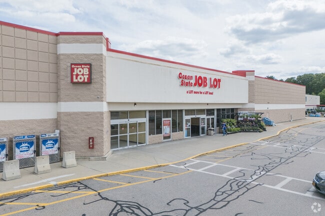
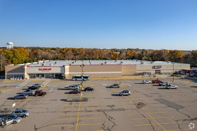
Property Record
1919 Diamond Hill Rd, Woonsocket, RI 02895

Property Detail
1919 Diamond Hill Rd
WOON-000052B-000006-000003
Providence
Commercialbuilding
Rhode Island
MU2
6
B and X Area of moderate flood hazard, usually the area between the limits of the 100-year and 500-year floods.
18.51 AC
2025
Woonsocket
2025
Providence
018400
Providence-Warwick, RI-MA
120,957 SF
NEARBY LISTINGS FOR SALE OR LEASE
DEMOGRAPHICS near 1919 Diamond Hill Rd
1 mile
3 mile
5 mile
2025 Total Population
7,798
60,495
102,761
2030 Population
8,111
62,446
106,138
Pop Growth 2025-2030
+ 4.01%
+ 3.23%
+ 3.29%
Average Age
42
40
41
2025 Total Households
3,130
24,862
41,632
HH Growth 2025-2030
+ 4.03%
+ 3.24%
+ 3.32%
Median Household Inc
$66,900
$72,118
$85,651
Avg Household Size
2.40
2.40
2.40
2025 Avg HH Vehicles
2.00
2.00
2.00
Median Home Value
$330,045
$376,830
$430,281
Median Year Built
1971
1959
1965
Nearby Places
Map Layers
Map Styles
 Street
 Aerial
Transit
 Traffic
 Biking
Places
Listings with unknown addresses are not visible on the map
- Restaurants
- Banks
- Shops
- Fitness
- Groceries
PUBLIC TRANSPORTATION
COMMUTER RAIL
Forge Park/Route 495 (Franklin Line - Massachusetts Bay Transportation Authority Commuter Rail (Purple Line))
Drive
Walk
Distance
Forge Park/Route 495 (Franklin Line - Massachusetts Bay Transportation Authority Commuter Rail (Purple Line))
16 min
8.2 mi
Franklin (Franklin Line - Massachusetts Bay Transportation Authority Commuter Rail (Purple Line))
Drive
Walk
Distance
Franklin (Franklin Line - Massachusetts Bay Transportation Authority Commuter Rail (Purple Line))
17 min
9.3 mi
AIRPORT
Rhode Island Tf Green International
Drive
Walk
Distance
Rhode Island Tf Green International
37 min
23.8 mi
Worcester Regional
Drive
Walk
Distance
Worcester Regional
50 min
34.6 mi
General Edward Lawrence Logan International
Drive
Walk
Distance
General Edward Lawrence Logan International
67 min
43.8 mi
Freight Ports
Port of Davisville, RI
Drive
Walk
Distance
Port of Davisville, RI
50 min
35.7 mi
SALE & LEASE HISTORY
LISTING DATE
SALE/LEASE

Sep 23, 2016
For Sale
Nearby Properties
Address
Land Use
TOTAL SIZE
Lot Size
Zoning
Address
Land Use
TOTAL SIZE
Lot Size
Zoning
16.88 AC
I1
Address
Land Use
TOTAL SIZE
Lot Size
Zoning
210,008 SF
13.95 AC
C1
Address
Land Use
TOTAL SIZE
Lot Size
Zoning
227,000 SF
6.72 AC
R3
Address
Land Use
TOTAL SIZE
Lot Size
Zoning
16.10 AC
60
Address
Land Use
TOTAL SIZE
Lot Size
Zoning
7,580 SF
32.61 AC
R4
Address
Land Use
TOTAL SIZE
Lot Size
Zoning
17.10 AC
I1
Address
Land Use
TOTAL SIZE
Lot Size
Zoning
11.61 AC
60
Address
Land Use
TOTAL SIZE
Lot Size
Zoning
16.49 AC
PR1
Address
Land Use
TOTAL SIZE
Lot Size
Zoning
1 AC
R4
Address
Land Use
TOTAL SIZE
Lot Size
Zoning
18.49 AC
60
Address
Land Use
TOTAL SIZE
Lot Size
Zoning
5,520 SF
9.81 AC
R1
Address
Land Use
TOTAL SIZE
Lot Size
Zoning
46,267 SF
1.89 AC
R4
Address
Land Use
TOTAL SIZE
Lot Size
Zoning
19,774 SF
23.53 AC
R1
Address
Land Use
TOTAL SIZE
Lot Size
Zoning
103,520 SF
3.44 AC
BH
Address
Land Use
TOTAL SIZE
Lot Size
Zoning
8.33 AC
R2
Address
Land Use
TOTAL SIZE
Lot Size
Zoning
157,856 SF
2.13 AC
C2
Address
Land Use
TOTAL SIZE
Lot Size
Zoning
120,368 SF
18.59 AC
BH
Address
Land Use
TOTAL SIZE
Lot Size
Zoning
149,422 SF
14.45 AC
60
Address
Land Use
TOTAL SIZE
Lot Size
Zoning
403,844 SF
10.78 AC
I2
Address
Land Use
TOTAL SIZE
Lot Size
Zoning
65,344 SF
12.03 AC
40
Address
Land Use
TOTAL SIZE
Lot Size
Zoning
5.63 AC
R2
Address
Land Use
TOTAL SIZE
Lot Size
Zoning
9.28 AC
60
Address
Land Use
TOTAL SIZE
Lot Size
Zoning
65,093 SF
4.65 AC
R4
Address
Land Use
TOTAL SIZE
Lot Size
Zoning
96,714 SF
2.11 AC
R4
Address
Land Use
TOTAL SIZE
Lot Size
Zoning
23.19 AC
C2
Address
Land Use
TOTAL SIZE
Lot Size
Zoning
103,988 SF
25.42 AC
30
Address
Land Use
TOTAL SIZE
Lot Size
Zoning
89,159 SF
2.33 AC
R4
Address
Land Use
TOTAL SIZE
Lot Size
Zoning
109,351 SF
2.35 AC
MU2
Address
Land Use
TOTAL SIZE
Lot Size
Zoning
95,337 SF
1.84 AC
R4
Address
Land Use
TOTAL SIZE
Lot Size
Zoning
45,156 SF
0.71 AC
C1
The World's #1 Commercial Real Estate Marketplace
Connect with us
© 2026 CoStar Group
The information above has been obtained from sources believed reliable. While we do not doubt its accuracy we have not verified it and make no guarantee, warranty or representation about it. It is your responsibility to independently confirm its accuracy and completeness. Any projections, opinions, assumptions, or estimates used are for example only and do not represent the current or future performance of the property. The value of this transaction to you depends on tax and other factors which should be evaluated by your tax, financial, and legal advisors. You and your advisors should conduct a careful, independent investigation of the property to determine to your satisfaction the suitability of the property for your needs.