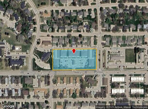
Property Record
1919 W 39Th St, Kearney, NE 68845

NEARBY LISTINGS FOR SALE OR LEASE
-
-
View all Kearney listings for sale on LoopNet.com
Property Detail
1919 W 39Th St
Kearney, NE
Colonial Estates Add
601904000
COLONIAL ESTATES ADD LT 1 BLK 2 EXC N 10'
Commercialnec
Buffalo
X
Nebraska
31019C0605D
1
2024
3.09 AC
2025
I-80 Corridor
969204
Other Market Areas
1,738 SF
DEMOGRAPHICS near 1919 W 39Th St
1 Mile
3 Mile
5 Mile
2024 Total Population
6,855
37,109
39,225
2029 Population
7,135
38,643
40,831
Pop Growth 2024-2029
+ 4.08%
+ 4.13%
+ 4.09%
Average Age
39
37
37
2024 Total Households
2,913
14,742
15,520
HH Growth 2024-2029
+ 4.15%
+ 4.25%
+ 4.21%
Median Household Inc
$81,826
$67,115
$68,071
Avg Household Size
2.30
2.30
2.30
2024 Avg HH Vehicles
2.00
2.00
2.00
Median Home Value
$294,112
$220,784
$224,230
Median Year Built
1989
1981
1981
Nearby Places
Map Layers
Map Styles
 Street
 Aerial
- Restaurants
- Banks
- Shops
- Fitness
- Groceries
Nearby Properties
Address
Land Use
TOTAL SIZE
Lot Size
Zoning
Address
Land Use
TOTAL SIZE
Lot Size
Zoning
105,277 SF
20.70 AC
COMMERCIAL
Address
Land Use
TOTAL SIZE
Lot Size
Zoning
181,870 SF
29.09 AC
COMMERCIAL
Address
Land Use
TOTAL SIZE
Lot Size
Zoning
114,499 SF
12.20 AC
COMMERCIAL
Address
Land Use
TOTAL SIZE
Lot Size
Zoning
95,530 SF
3.27 AC
COMMERCIAL
Address
Land Use
TOTAL SIZE
Lot Size
Zoning
82,790 SF
13.67 AC
COMMERCIAL
Address
Land Use
TOTAL SIZE
Lot Size
Zoning
29,230 SF
9.18 AC
MULTI-FAMI
Address
Land Use
TOTAL SIZE
Lot Size
Zoning
45,952 SF
5.98 AC
COMMERCIAL
Address
Land Use
TOTAL SIZE
Lot Size
Zoning
2,184 SF
10.14 AC
COMMERCIAL
Address
Land Use
TOTAL SIZE
Lot Size
Zoning
211,391 SF
42.10 AC
COMMERCIAL
Address
Land Use
TOTAL SIZE
Lot Size
Zoning
37,515 SF
COMMERCIAL
Address
Land Use
TOTAL SIZE
Lot Size
Zoning
40,860 SF
6 AC
COMMERCIAL
Address
Land Use
TOTAL SIZE
Lot Size
Zoning
855 SF
19.51 AC
COMMERCIAL
Address
Land Use
TOTAL SIZE
Lot Size
Zoning
21,600 SF
15.58 AC
COMMERCIAL
Address
Land Use
TOTAL SIZE
Lot Size
Zoning
13,476 SF
7.44 AC
COMMERCIAL
Address
Land Use
TOTAL SIZE
Lot Size
Zoning
48,483 SF
9.74 AC
COMMERCIAL
Address
Land Use
TOTAL SIZE
Lot Size
Zoning
83,428 SF
2.54 AC
COMMERCIAL
Address
Land Use
TOTAL SIZE
Lot Size
Zoning
22,204 SF
12.40 AC
COMMERCIAL
Address
Land Use
TOTAL SIZE
Lot Size
Zoning
79,824 SF
3.53 AC
COMMERCIAL
Address
Land Use
TOTAL SIZE
Lot Size
Zoning
68,992 SF
14.05 AC
COMMERCIAL
Address
Land Use
TOTAL SIZE
Lot Size
Zoning
28,722 SF
7.36 AC
MULTI-FAMI
Address
Land Use
TOTAL SIZE
Lot Size
Zoning
1,752 SF
6.90 AC
MULTI-FAMI
Address
Land Use
TOTAL SIZE
Lot Size
Zoning
13,736 SF
6.88 AC
MULTI-FAMI
Address
Land Use
TOTAL SIZE
Lot Size
Zoning
24,916 SF
3.91 AC
COMMERCIAL
Address
Land Use
TOTAL SIZE
Lot Size
Zoning
55,536 SF
2.37 AC
COMMERCIAL
Address
Land Use
TOTAL SIZE
Lot Size
Zoning
4,374 SF
12.46 AC
COMMERCIAL
Address
Land Use
TOTAL SIZE
Lot Size
Zoning
28,238 SF
3.84 AC
COMMERCIAL
Address
Land Use
TOTAL SIZE
Lot Size
Zoning
4,800 SF
12.10 AC
COMMERCIAL
Address
Land Use
TOTAL SIZE
Lot Size
Zoning
2,880 SF
8.36 AC
COMMERCIAL
Address
Land Use
TOTAL SIZE
Lot Size
Zoning
42,480 SF
1.34 AC
OTHER
Address
Land Use
TOTAL SIZE
Lot Size
Zoning
132.05 AC
OTHER
The World's #1 Commercial Real Estate Marketplace
Connect with us
© 2026 CoStar Group
The information above has been obtained from sources believed reliable. While we do not doubt its accuracy we have not verified it and make no guarantee, warranty or representation about it. It is your responsibility to independently confirm its accuracy and completeness. Any projections, opinions, assumptions, or estimates used are for example only and do not represent the current or future performance of the property. The value of this transaction to you depends on tax and other factors which should be evaluated by your tax, financial, and legal advisors. You and your advisors should conduct a careful, independent investigation of the property to determine to your satisfaction the suitability of the property for your needs.