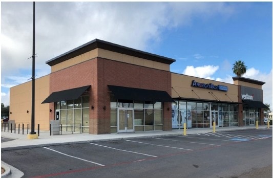
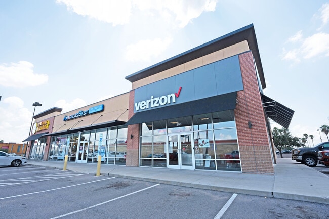
Property Record
1919 W Expressway 83, Mercedes, TX 78570
NEARBY LISTINGS FOR SALE OR LEASE
Property Detail
1919 W Expressway 83
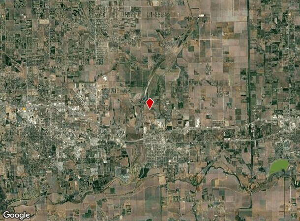
McAllen/Edinburg/Pharr
Cash Nix Addition
McAllen-Edinburg-Mission, TX
CASH NIX ADDITION LOT 1
C2248-00-000-0001-00
Hidalgo
Commercialnec
Texas
2024
1
2025
0.96 AC
023104
Outlying Hidalgo County
8,880 SF
DEMOGRAPHICS near 1919 W Expressway 83
1 Mile
3 Mile
5 Mile
2024 Total Population
7,477
66,762
116,233
2029 Population
7,906
71,323
123,709
Pop Growth 2024-2029
+ 5.74%
+ 6.83%
+ 6.43%
Average Age
35
36
35
2024 Total Households
2,315
20,931
34,917
HH Growth 2024-2029
+ 5.62%
+ 7.05%
+ 6.79%
Median Household Inc
$52,535
$46,106
$41,554
Avg Household Size
3.10
3.10
3.20
2024 Avg HH Vehicles
2.00
2.00
2.00
Median Home Value
$92,233
$91,531
$78,818
Median Year Built
1994
1995
1995
Nearby Places
Map Layers
Map Styles
 Street
 Aerial
- Restaurants
- Banks
- Shops
- Fitness
- Groceries
PUBLIC TRANSPORTATION
AIRPORT
Valley International
DRIVE
WALK
Distance
Valley International
33 min
21.2 mi
McAllen International
DRIVE
WALK
Distance
McAllen International
33 min
23.0 mi
Freight Ports
Port of Brownsville
DRIVE
WALK
Distance
Port of Brownsville
50 min
40.5 mi
SALE & LEASE HISTORY
LISTING DATE
SALE/LEASE

Sep 25, 2016
For Lease
Sep 17, 2018
For Lease
Sep 15, 2021
For Sale
Oct 21, 2016
For Sale
Mar 12, 2020
For Sale
Jun 16, 2021
For Sale
Feb 23, 2017
For Sale
Nearby Properties
Address
Land Use
TOTAL SIZE
Lot Size
Zoning
Address
Land Use
TOTAL SIZE
Lot Size
Zoning
635,188 SF
80.14 AC
Address
Land Use
TOTAL SIZE
Lot Size
Zoning
552,365 SF
72.02 AC
GT
Address
Land Use
TOTAL SIZE
Lot Size
Zoning
255,276 SF
25 AC
Address
Land Use
TOTAL SIZE
Lot Size
Zoning
113,449 SF
19.01 AC
Address
Land Use
TOTAL SIZE
Lot Size
Zoning
342,760 SF
42.33 AC
Address
Land Use
TOTAL SIZE
Lot Size
Zoning
108,541 SF
16.50 AC
Address
Land Use
TOTAL SIZE
Lot Size
Zoning
160,873 SF
78.76 AC
Address
Land Use
TOTAL SIZE
Lot Size
Zoning
5 SF
2.15 AC
Address
Land Use
TOTAL SIZE
Lot Size
Zoning
192,171 SF
16.56 AC
Address
Land Use
TOTAL SIZE
Lot Size
Zoning
76,552 SF
19.48 AC
CO
Address
Land Use
TOTAL SIZE
Lot Size
Zoning
6 SF
3.97 AC
Address
Land Use
TOTAL SIZE
Lot Size
Zoning
74,470 SF
34 AC
Address
Land Use
TOTAL SIZE
Lot Size
Zoning
135,639 SF
40 AC
Address
Land Use
TOTAL SIZE
Lot Size
Zoning
1 SF
4.92 AC
Address
Land Use
TOTAL SIZE
Lot Size
Zoning
1 SF
20 AC
Address
Land Use
TOTAL SIZE
Lot Size
Zoning
108,375 SF
1.82 AC
Address
Land Use
TOTAL SIZE
Lot Size
Zoning
113,200 SF
6.88 AC
IN
Address
Land Use
TOTAL SIZE
Lot Size
Zoning
80,485 SF
11.67 AC
RM
Address
Land Use
TOTAL SIZE
Lot Size
Zoning
34,040 SF
16.86 AC
Address
Land Use
TOTAL SIZE
Lot Size
Zoning
147,614 SF
9.15 AC
CO
Address
Land Use
TOTAL SIZE
Lot Size
Zoning
58,335 SF
2.57 AC
CO
Address
Land Use
TOTAL SIZE
Lot Size
Zoning
11,812 SF
8.55 AC
Address
Land Use
TOTAL SIZE
Lot Size
Zoning
57,276 SF
7.13 AC
Address
Land Use
TOTAL SIZE
Lot Size
Zoning
38,592 SF
2.69 AC
Address
Land Use
TOTAL SIZE
Lot Size
Zoning
8 SF
15.96 AC
Address
Land Use
TOTAL SIZE
Lot Size
Zoning
36,007 SF
12.78 AC
Address
Land Use
TOTAL SIZE
Lot Size
Zoning
142,577 SF
36.60 AC
CO
Address
Land Use
TOTAL SIZE
Lot Size
Zoning
15,250 SF
28.36 AC
CO
Address
Land Use
TOTAL SIZE
Lot Size
Zoning
104,220 SF
7.71 AC
Address
Land Use
TOTAL SIZE
Lot Size
Zoning
64,388 SF
17.11 AC
IL
The World's #1 Commercial Real Estate Marketplace
Connect with us
© 2025 CoStar Group
The information above has been obtained from sources believed reliable. While we do not doubt its accuracy we have not verified it and make no guarantee, warranty or representation about it. It is your responsibility to independently confirm its accuracy and completeness. Any projections, opinions, assumptions, or estimates used are for example only and do not represent the current or future performance of the property. The value of this transaction to you depends on tax and other factors which should be evaluated by your tax, financial, and legal advisors. You and your advisors should conduct a careful, independent investigation of the property to determine to your satisfaction the suitability of the property for your needs.