Property Record
N N 193Rd Ave, Wittmann, AZ 85361
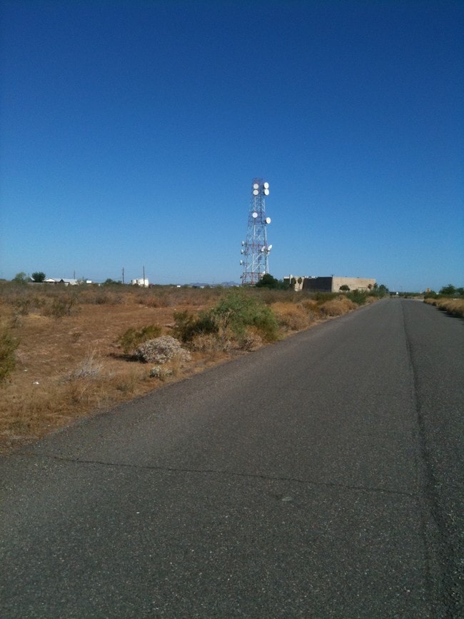


Property Detail
N N 193Rd Ave
Phoenix-Mesa-Chandler, AZ
CHURCHILL SOUTH MCR 76/22
503-51-076A
MARICOPA
Commercialacreage
Arizona
C-G
c
C and X Area of minimal flood hazard, usually depicted on FIRMs as above the 500-year flood level.
32.24 AC
2025
Loop 303/Surprise
2025
Phoenix
040541
NEARBY LISTINGS FOR SALE OR LEASE
DEMOGRAPHICS near N N 193Rd Ave
1 mile
3 mile
5 mile
2025 Total Population
137
10,798
28,025
2030 Population
157
12,144
31,673
Pop Growth 2025-2030
+ 14.60%
+ 12.47%
+ 13.02%
Average Age
34
39
40
2025 Total Households
44
3,549
9,294
HH Growth 2025-2030
+ 13.64%
+ 12.57%
+ 13.09%
Median Household Inc
$99,999
$105,773
$102,988
Avg Household Size
3.00
2.90
2.90
2025 Avg HH Vehicles
3.00
3.00
3.00
Median Home Value
$487,499
$466,635
$492,146
Median Year Built
2011
2011
2010
Nearby Places
Map Layers
Map Styles
 Street
 Aerial
Transit
 Traffic
 Biking
Places
Listings with unknown addresses are not visible on the map
- Restaurants
- Banks
- Shops
- Fitness
- Groceries
Nearby Properties
Address
Land Use
TOTAL SIZE
Lot Size
Zoning
Address
Land Use
TOTAL SIZE
Lot Size
Zoning
69,096 SF
15 AC
PAD
Address
Land Use
TOTAL SIZE
Lot Size
Zoning
9,100 SF
1.16 AC
PAD
Address
Land Use
TOTAL SIZE
Lot Size
Zoning
5,032 SF
1.90 AC
R-43
Address
Land Use
TOTAL SIZE
Lot Size
Zoning
1.05 AC
R-43
Address
Land Use
TOTAL SIZE
Lot Size
Zoning
4,754 SF
0.42 AC
C2
Address
Land Use
TOTAL SIZE
Lot Size
Zoning
10,000 SF
0.90 AC
R-43
Address
Land Use
TOTAL SIZE
Lot Size
Zoning
3,000 SF
1.11 AC
C-C
Address
Land Use
TOTAL SIZE
Lot Size
Zoning
Address
Land Use
TOTAL SIZE
Lot Size
Zoning
Address
Land Use
TOTAL SIZE
Lot Size
Zoning
Address
Land Use
TOTAL SIZE
Lot Size
Zoning
8.48 AC
C-C
Address
Land Use
TOTAL SIZE
Lot Size
Zoning
3,958 SF
36.52 AC
R-43
Address
Land Use
TOTAL SIZE
Lot Size
Zoning
36.31 AC
C-C
Address
Land Use
TOTAL SIZE
Lot Size
Zoning
Address
Land Use
TOTAL SIZE
Lot Size
Zoning
Address
Land Use
TOTAL SIZE
Lot Size
Zoning
Address
Land Use
TOTAL SIZE
Lot Size
Zoning
Address
Land Use
TOTAL SIZE
Lot Size
Zoning
156.67 AC
R-43
Address
Land Use
TOTAL SIZE
Lot Size
Zoning
Address
Land Use
TOTAL SIZE
Lot Size
Zoning
0.45 AC
Address
Land Use
TOTAL SIZE
Lot Size
Zoning
Address
Land Use
TOTAL SIZE
Lot Size
Zoning
3,049 SF
4.39 AC
PAD
Address
Land Use
TOTAL SIZE
Lot Size
Zoning
0.28 AC
Address
Land Use
TOTAL SIZE
Lot Size
Zoning
4,764 SF
5 AC
R-43
The World's #1 Commercial Real Estate Marketplace
Connect with us
© 2026 CoStar Group
The information above has been obtained from sources believed reliable. While we do not doubt its accuracy we have not verified it and make no guarantee, warranty or representation about it. It is your responsibility to independently confirm its accuracy and completeness. Any projections, opinions, assumptions, or estimates used are for example only and do not represent the current or future performance of the property. The value of this transaction to you depends on tax and other factors which should be evaluated by your tax, financial, and legal advisors. You and your advisors should conduct a careful, independent investigation of the property to determine to your satisfaction the suitability of the property for your needs.