Property Record
1924 177Th St, Lansing, IL 60438


NEARBY LISTINGS FOR SALE OR LEASE
Property Detail
1924 177Th St
Chicago-Naperville-Elgin, IL-IN
Industrial Park Sub
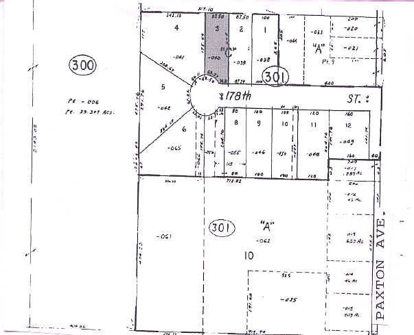
29-25-301-040-0000
(RIDGEWAY) INDUSTRIAL PARK SUB OF PT OF LT9 IN SUB OF N50ACS OF WH SE & EH SW EX PT SEC 25-36-14
Industrialgeneral
Cook
X
Illinois
17031C0754J
9
2023
0.39 AC
2025
Near South Cook
828201
Chicago
5,000 SF
DEMOGRAPHICS near 1924 177Th St
1 mile
3 mile
5 mile
2024 Total Population
7,613
79,797
234,375
2029 Population
7,411
77,731
230,319
Pop Growth 2024-2029
(2.65%)
(2.59%)
(1.73%)
Average Age
43
42
40
2024 Total Households
2,871
30,635
87,414
HH Growth 2024-2029
(2.93%)
(2.90%)
(2.02%)
Median Household Inc
$68,445
$63,414
$58,650
Avg Household Size
2.50
2.50
2.60
2024 Avg HH Vehicles
2.00
2.00
2.00
Median Home Value
$189,779
$156,566
$150,309
Median Year Built
1974
1966
1963
Nearby Places
Map Layers
Map Styles
 Street
 Aerial
Transit
 Traffic
 Biking
Places
Listings with unknown addresses are not visible on the map
- Restaurants
- Banks
- Shops
- Fitness
- Groceries
PUBLIC TRANSPORTATION
COMMUTER RAIL
Hazel Crest Station (Metra Electric Line - Northeast Illinois Regional Commuter Railroad (Metra))
Drive
Walk
Distance
Hazel Crest Station (Metra Electric Line - Northeast Illinois Regional Commuter Railroad (Metra))
13 min
6.6 mi
Harvey Station (Metra Electric Line - Northeast Illinois Regional Commuter Railroad (Metra))
Drive
Walk
Distance
Harvey Station (Metra Electric Line - Northeast Illinois Regional Commuter Railroad (Metra))
15 min
7.6 mi
AIRPORT
Chicago Midway International
Drive
Walk
Distance
Chicago Midway International
37 min
23.8 mi
Freight Ports
Port Milwaukee
Drive
Walk
Distance
Port Milwaukee
141 min
110.4 mi
Nearby Properties
Address
Land Use
TOTAL SIZE
Lot Size
Zoning
Address
Land Use
TOTAL SIZE
Lot Size
Zoning
24.56 AC
Address
Land Use
TOTAL SIZE
Lot Size
Zoning
Address
Land Use
TOTAL SIZE
Lot Size
Zoning
5.01 AC
Address
Land Use
TOTAL SIZE
Lot Size
Zoning
119,082 SF
11.26 AC
Address
Land Use
TOTAL SIZE
Lot Size
Zoning
48,134 SF
5.33 AC
Address
Land Use
TOTAL SIZE
Lot Size
Zoning
30,895 SF
3 AC
R33
Address
Land Use
TOTAL SIZE
Lot Size
Zoning
69,894 SF
7.60 AC
Address
Land Use
TOTAL SIZE
Lot Size
Zoning
56,458 SF
2.17 AC
Address
Land Use
TOTAL SIZE
Lot Size
Zoning
450,777 SF
25.25 AC
Address
Land Use
TOTAL SIZE
Lot Size
Zoning
454,999 SF
27.43 AC
Address
Land Use
TOTAL SIZE
Lot Size
Zoning
60,864 SF
5.55 AC
Address
Land Use
TOTAL SIZE
Lot Size
Zoning
7.31 AC
Address
Land Use
TOTAL SIZE
Lot Size
Zoning
66,118 SF
11.02 AC
Address
Land Use
TOTAL SIZE
Lot Size
Zoning
40,489 SF
6.43 AC
Address
Land Use
TOTAL SIZE
Lot Size
Zoning
Address
Land Use
TOTAL SIZE
Lot Size
Zoning
44,274 SF
3 AC
Address
Land Use
TOTAL SIZE
Lot Size
Zoning
5,175 SF
1.26 AC
Address
Land Use
TOTAL SIZE
Lot Size
Zoning
11,118 SF
1.11 AC
Address
Land Use
TOTAL SIZE
Lot Size
Zoning
28,228 SF
4.63 AC
Address
Land Use
TOTAL SIZE
Lot Size
Zoning
40,168 SF
0.01 AC
Address
Land Use
TOTAL SIZE
Lot Size
Zoning
398,668 SF
13.92 AC
Address
Land Use
TOTAL SIZE
Lot Size
Zoning
23,370 SF
0.52 AC
Address
Land Use
TOTAL SIZE
Lot Size
Zoning
Address
Land Use
TOTAL SIZE
Lot Size
Zoning
27,606 SF
2.87 AC
Address
Land Use
TOTAL SIZE
Lot Size
Zoning
39,259 SF
2.63 AC
Address
Land Use
TOTAL SIZE
Lot Size
Zoning
89,853 SF
2.68 AC
Address
Land Use
TOTAL SIZE
Lot Size
Zoning
159,145 SF
15.36 AC
Address
Land Use
TOTAL SIZE
Lot Size
Zoning
165,530 SF
1.82 AC
Address
Land Use
TOTAL SIZE
Lot Size
Zoning
29,749 SF
3.87 AC
Address
Land Use
TOTAL SIZE
Lot Size
Zoning
142,376 SF
24 AC
The World's #1 Commercial Real Estate Marketplace
Connect with us
© 2026 CoStar Group
The information above has been obtained from sources believed reliable. While we do not doubt its accuracy we have not verified it and make no guarantee, warranty or representation about it. It is your responsibility to independently confirm its accuracy and completeness. Any projections, opinions, assumptions, or estimates used are for example only and do not represent the current or future performance of the property. The value of this transaction to you depends on tax and other factors which should be evaluated by your tax, financial, and legal advisors. You and your advisors should conduct a careful, independent investigation of the property to determine to your satisfaction the suitability of the property for your needs.