Property Record
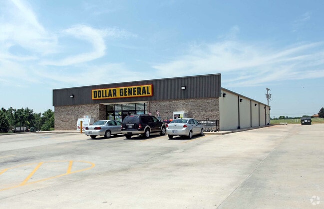
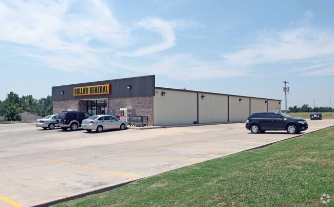
1925 N Green Ave, Purcell, OK 73080

Property Detail
1925 N Green Ave
0WEE00005000000600
COMM NW/C S NW SW S 168.62 TO POB E 264.86 SE 138.05 W 310.77 N 130 TO POB
Wholesaleoutletdiscountstore
McClain
B and X Area of moderate flood hazard, usually the area between the limits of the 100-year and 500-year floods.
Oklahoma
2025
0.86 AC
2025
Outlying McClain
400300
Oklahoma City
9,020 SF
Oklahoma City, OK
NEARBY LISTINGS FOR SALE OR LEASE
DEMOGRAPHICS near 1925 N Green Ave
1 mile
3 mile
5 mile
2025 Total Population
2,736
9,628
14,162
2030 Population
3,073
10,677
15,578
Pop Growth 2025-2030
+ 12.32%
+ 10.90%
+ 10.00%
Average Age
40
40
40
2025 Total Households
1,030
3,567
5,213
HH Growth 2025-2030
+ 12.52%
+ 11.10%
+ 10.17%
Median Household Inc
$60,160
$62,432
$62,809
Avg Household Size
2.50
2.60
2.60
2025 Avg HH Vehicles
2.00
2.00
2.00
Median Home Value
$200,230
$174,728
$186,563
Median Year Built
1983
1983
1986
Nearby Places
Map Layers
Map Styles
 Street
 Aerial
Layers
 Traffic
 Biking
Places
Listings with unknown addresses are not visible on the map
- Restaurants
- Banks
- Shops
- Fitness
- Groceries
PUBLIC TRANSPORTATION
COMMUTER RAIL
Drive
Walk
Distance
4 min
2.0 mi
AIRPORT
Will Rogers World
Drive
Walk
Distance
Will Rogers World
46 min
35.8 mi
Nearby Properties
Address
Land Use
TOTAL SIZE
Lot Size
Zoning
Address
Land Use
TOTAL SIZE
Lot Size
Zoning
9.24 AC
Address
Land Use
TOTAL SIZE
Lot Size
Zoning
11,976 SF
0.14 AC
Address
Land Use
TOTAL SIZE
Lot Size
Zoning
0.42 AC
Address
Land Use
TOTAL SIZE
Lot Size
Zoning
0.86 AC
Address
Land Use
TOTAL SIZE
Lot Size
Zoning
30.20 AC
Address
Land Use
TOTAL SIZE
Lot Size
Zoning
5,584 SF
11.67 AC
Address
Land Use
TOTAL SIZE
Lot Size
Zoning
3,200 SF
1 AC
Address
Land Use
TOTAL SIZE
Lot Size
Zoning
0.64 AC
Address
Land Use
TOTAL SIZE
Lot Size
Zoning
36,752 SF
3.72 AC
Address
Land Use
TOTAL SIZE
Lot Size
Zoning
0.32 AC
Address
Land Use
TOTAL SIZE
Lot Size
Zoning
4,800 SF
7.83 AC
Address
Land Use
TOTAL SIZE
Lot Size
Zoning
4,700 SF
0.32 AC
Address
Land Use
TOTAL SIZE
Lot Size
Zoning
10 AC
Address
Land Use
TOTAL SIZE
Lot Size
Zoning
0.24 AC
Address
Land Use
TOTAL SIZE
Lot Size
Zoning
24,333 SF
2.94 AC
R1
Address
Land Use
TOTAL SIZE
Lot Size
Zoning
1.23 AC
R1
Address
Land Use
TOTAL SIZE
Lot Size
Zoning
14,606 SF
1.62 AC
Address
Land Use
TOTAL SIZE
Lot Size
Zoning
5,760 SF
4.86 AC
Address
Land Use
TOTAL SIZE
Lot Size
Zoning
25,115 SF
0.21 AC
Address
Land Use
TOTAL SIZE
Lot Size
Zoning
80 AC
Address
Land Use
TOTAL SIZE
Lot Size
Zoning
3,375 SF
0.15 AC
Address
Land Use
TOTAL SIZE
Lot Size
Zoning
0.08 AC
Address
Land Use
TOTAL SIZE
Lot Size
Zoning
4,320 SF
0.17 AC
Address
Land Use
TOTAL SIZE
Lot Size
Zoning
0.32 AC
R1
Address
Land Use
TOTAL SIZE
Lot Size
Zoning
9,892 SF
0.48 AC
R1
Address
Land Use
TOTAL SIZE
Lot Size
Zoning
4,061 SF
17.17 AC
NP
Address
Land Use
TOTAL SIZE
Lot Size
Zoning
26.10 AC
AA
Address
Land Use
TOTAL SIZE
Lot Size
Zoning
2,250 SF
0.19 AC
R1
Address
Land Use
TOTAL SIZE
Lot Size
Zoning
21,006 SF
1.33 AC
The World's #1 Commercial Real Estate Marketplace
Connect with us
© 2026 CoStar Group
The information above has been obtained from sources believed reliable. While we do not doubt its accuracy we have not verified it and make no guarantee, warranty or representation about it. It is your responsibility to independently confirm its accuracy and completeness. Any projections, opinions, assumptions, or estimates used are for example only and do not represent the current or future performance of the property. The value of this transaction to you depends on tax and other factors which should be evaluated by your tax, financial, and legal advisors. You and your advisors should conduct a careful, independent investigation of the property to determine to your satisfaction the suitability of the property for your needs.