Property Record
19289 Bulverde Rd, San Antonio, TX 78259

Property Detail
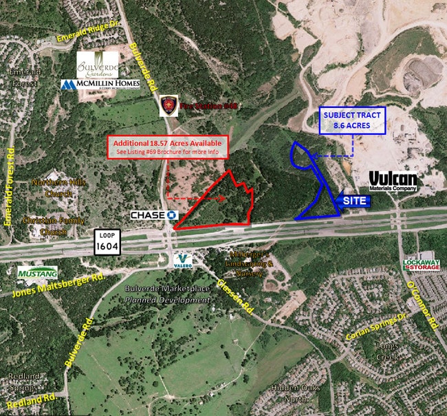
19289 Bulverde Rd
San Antonio-New Braunfels, TX
NCB 34910 P-4A, NCB 34920 P-1, NCB 34921 P-1, NCB 34922 P-1 & NCB 34923 P-3A.. REMAINS ACCT PER DEEDS 14643/1506 & 14643/1539 FOR 2011
34910-000-0042
BEXAR
Privatepreserveopenspacevacantlandforestlandconservation
Texas
A Areas with a 1% annual chance of flooding and a 26% chance of flooding over the life of a 30-year mortgage.
42
2025
907.40 AC
2025
Far North Central
121903
San Antonio
NEARBY LISTINGS FOR SALE OR LEASE
DEMOGRAPHICS near 19289 Bulverde Rd
1 mile
3 mile
5 mile
2025 Total Population
5,664
73,995
208,196
2030 Population
6,083
78,326
218,708
Pop Growth 2025-2030
+ 7.40%
+ 5.85%
+ 5.05%
Average Age
40
38
39
2025 Total Households
2,117
27,922
78,116
HH Growth 2025-2030
+ 7.46%
+ 5.99%
+ 5.18%
Median Household Inc
$110,212
$98,508
$98,801
Avg Household Size
2.70
2.60
2.60
2025 Avg HH Vehicles
2.00
2.00
2.00
Median Home Value
$397,304
$375,659
$359,539
Median Year Built
2008
2003
1999
Nearby Places
Map Layers
Map Styles
 Street
 Aerial
Layers
 Traffic
 Biking
Places
Listings with unknown addresses are not visible on the map
- Restaurants
- Banks
- Shops
- Fitness
- Groceries
PUBLIC TRANSPORTATION
AIRPORT
San Antonio International
Drive
Walk
Distance
San Antonio International
17 min
11.5 mi
Freight Ports
Calhoun Port
Drive
Walk
Distance
Calhoun Port
185 min
154.1 mi
Nearby Properties
Address
Land Use
TOTAL SIZE
Lot Size
Zoning
Address
Land Use
TOTAL SIZE
Lot Size
Zoning
621,591 SF
15.25 AC
Address
Land Use
TOTAL SIZE
Lot Size
Zoning
427,456 SF
37.12 AC
Address
Land Use
TOTAL SIZE
Lot Size
Zoning
390,736 SF
31.72 AC
Address
Land Use
TOTAL SIZE
Lot Size
Zoning
435,882 SF
27.85 AC
Address
Land Use
TOTAL SIZE
Lot Size
Zoning
5,687 SF
19.39 AC
Address
Land Use
TOTAL SIZE
Lot Size
Zoning
391,871 SF
17.94 AC
Address
Land Use
TOTAL SIZE
Lot Size
Zoning
352,144 SF
29.83 AC
Address
Land Use
TOTAL SIZE
Lot Size
Zoning
311,728 SF
7.47 AC
Address
Land Use
TOTAL SIZE
Lot Size
Zoning
325,041 SF
25.31 AC
Address
Land Use
TOTAL SIZE
Lot Size
Zoning
115.46 AC
Address
Land Use
TOTAL SIZE
Lot Size
Zoning
371,475 SF
20 AC
Address
Land Use
TOTAL SIZE
Lot Size
Zoning
383,541 SF
12.41 AC
Address
Land Use
TOTAL SIZE
Lot Size
Zoning
298,710 SF
11.36 AC
Address
Land Use
TOTAL SIZE
Lot Size
Zoning
307,210 SF
14.26 AC
Address
Land Use
TOTAL SIZE
Lot Size
Zoning
225,819 SF
23.29 AC
Address
Land Use
TOTAL SIZE
Lot Size
Zoning
364,026 SF
27.34 AC
Address
Land Use
TOTAL SIZE
Lot Size
Zoning
280,330 SF
20.99 AC
Address
Land Use
TOTAL SIZE
Lot Size
Zoning
441,676 SF
19.99 AC
Address
Land Use
TOTAL SIZE
Lot Size
Zoning
159,671 SF
15.69 AC
Address
Land Use
TOTAL SIZE
Lot Size
Zoning
309,507 SF
14.95 AC
Address
Land Use
TOTAL SIZE
Lot Size
Zoning
306,523 SF
16.29 AC
Address
Land Use
TOTAL SIZE
Lot Size
Zoning
323,716 SF
19.74 AC
Address
Land Use
TOTAL SIZE
Lot Size
Zoning
317,041 SF
26.69 AC
Address
Land Use
TOTAL SIZE
Lot Size
Zoning
154,937 SF
22 AC
Address
Land Use
TOTAL SIZE
Lot Size
Zoning
290,188 SF
14.60 AC
Address
Land Use
TOTAL SIZE
Lot Size
Zoning
269,525 SF
17.75 AC
Address
Land Use
TOTAL SIZE
Lot Size
Zoning
341,841 SF
22 AC
Address
Land Use
TOTAL SIZE
Lot Size
Zoning
249,562 SF
9.65 AC
Address
Land Use
TOTAL SIZE
Lot Size
Zoning
408,619 SF
71.19 AC
Address
Land Use
TOTAL SIZE
Lot Size
Zoning
340,570 SF
19.15 AC
The World's #1 Commercial Real Estate Marketplace
Connect with us
© 2026 CoStar Group
The information above has been obtained from sources believed reliable. While we do not doubt its accuracy we have not verified it and make no guarantee, warranty or representation about it. It is your responsibility to independently confirm its accuracy and completeness. Any projections, opinions, assumptions, or estimates used are for example only and do not represent the current or future performance of the property. The value of this transaction to you depends on tax and other factors which should be evaluated by your tax, financial, and legal advisors. You and your advisors should conduct a careful, independent investigation of the property to determine to your satisfaction the suitability of the property for your needs.