Property Record
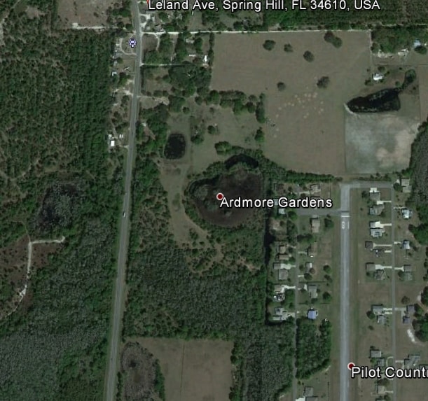
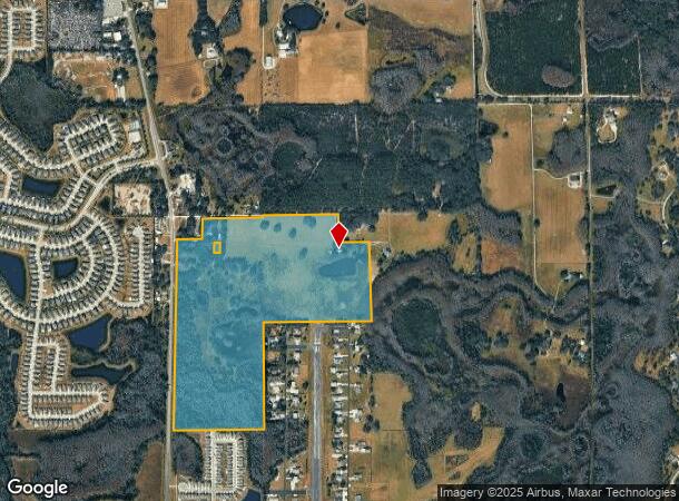
12350 Us Highway 41, Spring Hill, FL 34610
NEARBY LISTINGS FOR SALE OR LEASE
Property Detail
12350 Us Highway 41
03-25-18-0000-00800-0000
Ardmore Gardens
Pasture
NE1/4 OF SW1/4 OF SECTION LESS & EXC POR DESC AS COM AT NE COR OF NE1/4 OF SW1/4 FOR POB TH S89DEG5953W 397.00 FT TH S00DEG3435E 344.89 FT TH S89DEG2956E 372.69 FT TH S00DEG4651E 978.63 FT TO SE COR OF NE1/4 OF SW1/4 TH N00DEG1929E 1326.70 FT TO POB;
X
Pasco
12101C0230F
Florida
2024
99.66 AC
2025
Pasco County
031901
Tampa/St Petersburg
6,885 SF
Tampa-St. Petersburg-Clearwater, FL
DEMOGRAPHICS near 12350 Us Highway 41
1 Mile
3 Mile
5 Mile
2024 Total Population
1,646
9,368
27,641
2029 Population
1,999
11,525
33,803
Pop Growth 2024-2029
+ 21.45%
+ 23.03%
+ 22.29%
Average Age
43
38
38
2024 Total Households
623
3,225
9,035
HH Growth 2024-2029
+ 21.35%
+ 22.88%
+ 22.27%
Median Household Inc
$69,749
$71,517
$87,971
Avg Household Size
2.60
2.80
2.90
2024 Avg HH Vehicles
2.00
2.00
2.00
Median Home Value
$382,631
$296,328
$306,723
Median Year Built
1999
2007
2007
Nearby Places
Map Layers
Map Styles
 Street
 Aerial
- Restaurants
- Banks
- Shops
- Fitness
- Groceries
PUBLIC TRANSPORTATION
AIRPORT
Tampa International
DRIVE
WALK
Distance
Tampa International
47 min
34.5 mi
Freight Ports
Port of Tampa Bay
DRIVE
WALK
Distance
Port of Tampa Bay
51 min
31.7 mi
SALE & LEASE HISTORY
LISTING DATE
SALE/LEASE

Sep 24, 2016
For Sale
Nearby Properties
Address
Land Use
TOTAL SIZE
Lot Size
Zoning
Address
Land Use
TOTAL SIZE
Lot Size
Zoning
21,914 SF
68.49 AC
MPUD
Address
Land Use
TOTAL SIZE
Lot Size
Zoning
74,685 SF
4.57 AC
MPUD
Address
Land Use
TOTAL SIZE
Lot Size
Zoning
103,893 SF
4.80 AC
I1
Address
Land Use
TOTAL SIZE
Lot Size
Zoning
78,182 SF
18.60 AC
MPUD
Address
Land Use
TOTAL SIZE
Lot Size
Zoning
100,486 SF
186.81 AC
MPUD
Address
Land Use
TOTAL SIZE
Lot Size
Zoning
49,229 SF
30.32 AC
MPUD
Address
Land Use
TOTAL SIZE
Lot Size
Zoning
13.51 AC
MPUD
Address
Land Use
TOTAL SIZE
Lot Size
Zoning
16,669 SF
4.67 AC
MPUD
Address
Land Use
TOTAL SIZE
Lot Size
Zoning
3,080 SF
11.32 AC
I1
Address
Land Use
TOTAL SIZE
Lot Size
Zoning
7,220 SF
15 AC
C2
Address
Land Use
TOTAL SIZE
Lot Size
Zoning
2,982 SF
8.84 AC
PO2
Address
Land Use
TOTAL SIZE
Lot Size
Zoning
12,067 SF
1.77 AC
C2
Address
Land Use
TOTAL SIZE
Lot Size
Zoning
6,320 SF
5.29 AC
C2
Address
Land Use
TOTAL SIZE
Lot Size
Zoning
28.63 AC
MPUD
Address
Land Use
TOTAL SIZE
Lot Size
Zoning
3,519 SF
2.69 AC
C2
Address
Land Use
TOTAL SIZE
Lot Size
Zoning
0.96 AC
C2
Address
Land Use
TOTAL SIZE
Lot Size
Zoning
5,598 SF
2.07 AC
C2
Address
Land Use
TOTAL SIZE
Lot Size
Zoning
13,032 SF
3.42 AC
MPUD
Address
Land Use
TOTAL SIZE
Lot Size
Zoning
4.43 AC
C2
Address
Land Use
TOTAL SIZE
Lot Size
Zoning
3,779 SF
3.10 AC
C2
Address
Land Use
TOTAL SIZE
Lot Size
Zoning
25,200 SF
22.39 AC
C2
Address
Land Use
TOTAL SIZE
Lot Size
Zoning
8,622 SF
40.01 AC
R1
Address
Land Use
TOTAL SIZE
Lot Size
Zoning
5,656 SF
24.26 AC
AC
Address
Land Use
TOTAL SIZE
Lot Size
Zoning
7,533 SF
3.10 AC
C2
The World's #1 Commercial Real Estate Marketplace
Connect with us
© 2025 CoStar Group
The information above has been obtained from sources believed reliable. While we do not doubt its accuracy we have not verified it and make no guarantee, warranty or representation about it. It is your responsibility to independently confirm its accuracy and completeness. Any projections, opinions, assumptions, or estimates used are for example only and do not represent the current or future performance of the property. The value of this transaction to you depends on tax and other factors which should be evaluated by your tax, financial, and legal advisors. You and your advisors should conduct a careful, independent investigation of the property to determine to your satisfaction the suitability of the property for your needs.