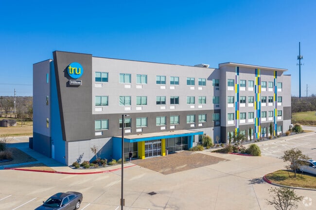
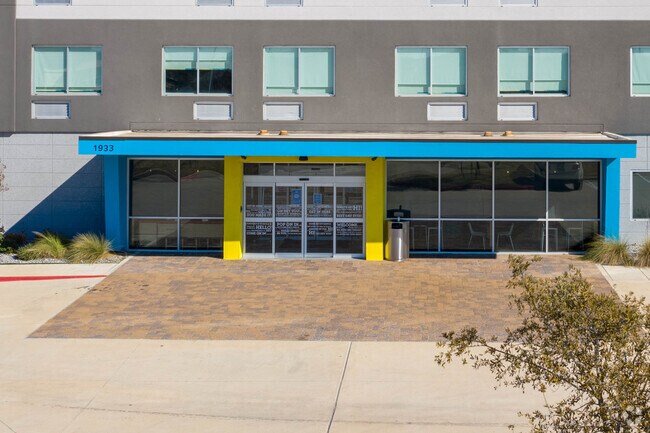
Property Record
1933 Austins Colony Pky, Bryan, TX 77802


Property Detail
1933 Austins Colony Pky
College Station-Bryan, TX
BOONVILLE TOWN CENTER, BLOCK 2, LOT 2A-1, ACRES 2.64
143500-0002-0022
Brazos
Commercialnec
Texas
B and X Area of moderate flood hazard, usually the area between the limits of the 100-year and 500-year floods.
2a-1
2024
2.64 AC
2025
Bryan & College Station
002022
Other Market Areas
44,290 SF
NEARBY LISTINGS FOR SALE OR LEASE
DEMOGRAPHICS near 1933 Austins Colony Pky
1 mile
3 mile
5 mile
2025 Total Population
6,362
59,127
150,886
2030 Population
6,691
62,555
159,513
Pop Growth 2025-2030
+ 5.17%
+ 5.80%
+ 5.72%
Average Age
40
37
33
2025 Total Households
2,800
23,826
54,400
HH Growth 2025-2030
+ 5.61%
+ 6.33%
+ 6.40%
Median Household Inc
$75,353
$54,286
$45,935
Avg Household Size
2.30
2.30
2.30
2025 Avg HH Vehicles
2.00
2.00
2.00
Median Home Value
$313,920
$258,304
$246,310
Median Year Built
1994
1987
1990
Nearby Places
Map Layers
Map Styles
 Street
 Aerial
Layers
 Traffic
 Biking
Places
Listings with unknown addresses are not visible on the map
- Restaurants
- Banks
- Shops
- Fitness
- Groceries
PUBLIC TRANSPORTATION
AIRPORT
Easterwood Field
Drive
Walk
Distance
Easterwood Field
23 min
10.5 mi
Freight Ports
Port of Houston
Drive
Walk
Distance
Port of Houston
125 min
101.6 mi
SALE & LEASE HISTORY
LISTING DATE
SALE/LEASE

Apr 27, 2021
For Sale
Nearby Properties
Address
Land Use
TOTAL SIZE
Lot Size
Zoning
Address
Land Use
TOTAL SIZE
Lot Size
Zoning
527,548 SF
13.77 AC
Address
Land Use
TOTAL SIZE
Lot Size
Zoning
381,196 SF
87 AC
Address
Land Use
TOTAL SIZE
Lot Size
Zoning
96.70 AC
Address
Land Use
TOTAL SIZE
Lot Size
Zoning
232,070 SF
13.33 AC
Address
Land Use
TOTAL SIZE
Lot Size
Zoning
17.89 AC
Address
Land Use
TOTAL SIZE
Lot Size
Zoning
188,821 SF
86.82 AC
Address
Land Use
TOTAL SIZE
Lot Size
Zoning
3,680 SF
48.92 AC
Address
Land Use
TOTAL SIZE
Lot Size
Zoning
212,117 SF
16.33 AC
Address
Land Use
TOTAL SIZE
Lot Size
Zoning
222,829 SF
7.02 AC
Address
Land Use
TOTAL SIZE
Lot Size
Zoning
297,999 SF
16.59 AC
Address
Land Use
TOTAL SIZE
Lot Size
Zoning
239,625 SF
6.60 AC
Address
Land Use
TOTAL SIZE
Lot Size
Zoning
257,741 SF
29.42 AC
Address
Land Use
TOTAL SIZE
Lot Size
Zoning
322,102 SF
10.36 AC
Address
Land Use
TOTAL SIZE
Lot Size
Zoning
184,576 SF
2.48 AC
Address
Land Use
TOTAL SIZE
Lot Size
Zoning
259,004 SF
14.25 AC
Address
Land Use
TOTAL SIZE
Lot Size
Zoning
266,335 SF
14 AC
Address
Land Use
TOTAL SIZE
Lot Size
Zoning
220,018 SF
11.60 AC
Address
Land Use
TOTAL SIZE
Lot Size
Zoning
351,018 SF
11.98 AC
Address
Land Use
TOTAL SIZE
Lot Size
Zoning
255,333 SF
12.73 AC
Address
Land Use
TOTAL SIZE
Lot Size
Zoning
119,517 SF
32.24 AC
Address
Land Use
TOTAL SIZE
Lot Size
Zoning
121,800 SF
5.66 AC
Address
Land Use
TOTAL SIZE
Lot Size
Zoning
274,488 SF
12.51 AC
Address
Land Use
TOTAL SIZE
Lot Size
Zoning
222,358 SF
11.47 AC
Address
Land Use
TOTAL SIZE
Lot Size
Zoning
275,037 SF
21.71 AC
Address
Land Use
TOTAL SIZE
Lot Size
Zoning
300,322 SF
2.34 AC
Address
Land Use
TOTAL SIZE
Lot Size
Zoning
108,067 SF
19.49 AC
Address
Land Use
TOTAL SIZE
Lot Size
Zoning
62,500 SF
1.44 AC
Address
Land Use
TOTAL SIZE
Lot Size
Zoning
10.89 AC
Address
Land Use
TOTAL SIZE
Lot Size
Zoning
1,020 SF
4.01 AC
Address
Land Use
TOTAL SIZE
Lot Size
Zoning
146,643 SF
8.40 AC
The World's #1 Commercial Real Estate Marketplace
Connect with us
© 2026 CoStar Group
The information above has been obtained from sources believed reliable. While we do not doubt its accuracy we have not verified it and make no guarantee, warranty or representation about it. It is your responsibility to independently confirm its accuracy and completeness. Any projections, opinions, assumptions, or estimates used are for example only and do not represent the current or future performance of the property. The value of this transaction to you depends on tax and other factors which should be evaluated by your tax, financial, and legal advisors. You and your advisors should conduct a careful, independent investigation of the property to determine to your satisfaction the suitability of the property for your needs.