Property Record
1936 Tennyson Ln, Madison, WI 53704


NEARBY LISTINGS FOR SALE OR LEASE
-
-
View all Madison listings for sale on LoopNet.com
Property Detail
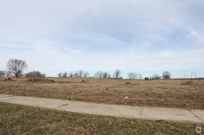
1936 Tennyson Ln
Madison, WI
Csm 13716 As Recorded In Dane County
0810-302-0104-0
CSM 13716 AS RECORDED IN DANE COUNTY REGISTER OF DEEDS IN VOL 90 PAGE 185 OF CER TIFIED SURVEYS, LOT 2, EXCEPT THAT PART CONVEYED FOR PUBLIC ROW AS DESC IN DOC 5 268730.
Commercialnec
Dane
X
Wisconsin
55025C0263H
2
2024
8 AC
2024
Northeast Madison
002402
Milwaukee/Madison
DEMOGRAPHICS near 1936 Tennyson Ln
1 Mile
3 Mile
5 Mile
2024 Total Population
9,014
44,548
133,849
2029 Population
9,400
46,208
138,173
Pop Growth 2024-2029
+ 4.28%
+ 3.73%
+ 3.23%
Average Age
40
40
36
2024 Total Households
4,014
20,846
59,857
HH Growth 2024-2029
+ 4.38%
+ 3.84%
+ 3.46%
Median Household Inc
$61,664
$61,183
$62,068
Avg Household Size
2.10
2.00
2.00
2024 Avg HH Vehicles
2.00
2.00
1.00
Median Home Value
$233,509
$247,881
$281,606
Median Year Built
1974
1969
1975
Nearby Places
Map Layers
Map Styles
 Street
 Aerial
- Restaurants
- Banks
- Shops
- Fitness
- Groceries
PUBLIC TRANSPORTATION
AIRPORT
Dane County Regional/Truax Field
DRIVE
WALK
Distance
Dane County Regional/Truax Field
4 min
1.6 mi
Freight Ports
Port Milwaukee
DRIVE
WALK
Distance
Port Milwaukee
93 min
78.8 mi
SALE & LEASE HISTORY
LISTING DATE
SALE/LEASE

Mar 23, 2017
For Sale
Jan 24, 2018
For Sale
Nearby Properties
Address
Land Use
TOTAL SIZE
Lot Size
Zoning
Address
Land Use
TOTAL SIZE
Lot Size
Zoning
509,946 SF
40.17 AC
IL
Address
Land Use
TOTAL SIZE
Lot Size
Zoning
461,454 SF
3.37 AC
CC-T
Address
Land Use
TOTAL SIZE
Lot Size
Zoning
385,400 SF
62.07 AC
IL
Address
Land Use
TOTAL SIZE
Lot Size
Zoning
107,751 SF
22.34 AC
IL
Address
Land Use
TOTAL SIZE
Lot Size
Zoning
216,017 SF
3.35 AC
TE
Address
Land Use
TOTAL SIZE
Lot Size
Zoning
294,106 SF
29.06 AC
CC
Address
Land Use
TOTAL SIZE
Lot Size
Zoning
104,000 SF
11.21 AC
CC-T
Address
Land Use
TOTAL SIZE
Lot Size
Zoning
58,680 SF
6.29 AC
PD
Address
Land Use
TOTAL SIZE
Lot Size
Zoning
6.76 AC
SEC
Address
Land Use
TOTAL SIZE
Lot Size
Zoning
Address
Land Use
TOTAL SIZE
Lot Size
Zoning
92,130 SF
3.36 AC
PD
Address
Land Use
TOTAL SIZE
Lot Size
Zoning
105,743 SF
9.50 AC
IG
Address
Land Use
TOTAL SIZE
Lot Size
Zoning
37,133 SF
4.71 AC
CC-T
Address
Land Use
TOTAL SIZE
Lot Size
Zoning
191,145 SF
12.24 AC
SR-V2
Address
Land Use
TOTAL SIZE
Lot Size
Zoning
68,016 SF
6.45 AC
PD
Address
Land Use
TOTAL SIZE
Lot Size
Zoning
171,950 SF
11.28 AC
PD
Address
Land Use
TOTAL SIZE
Lot Size
Zoning
121,013 SF
0.98 AC
TSS
Address
Land Use
TOTAL SIZE
Lot Size
Zoning
1.64 AC
CC-T
Address
Land Use
TOTAL SIZE
Lot Size
Zoning
58,817 SF
13.79 AC
SE
Address
Land Use
TOTAL SIZE
Lot Size
Zoning
4.47 AC
SR-V2
Address
Land Use
TOTAL SIZE
Lot Size
Zoning
4.54 AC
SR-V2
Address
Land Use
TOTAL SIZE
Lot Size
Zoning
48,970 SF
3.80 AC
PD
Address
Land Use
TOTAL SIZE
Lot Size
Zoning
83,769 SF
1.10 AC
NMX
Address
Land Use
TOTAL SIZE
Lot Size
Zoning
124,344 SF
8.16 AC
SR-V2
Address
Land Use
TOTAL SIZE
Lot Size
Zoning
137,665 SF
9.39 AC
IL
Address
Land Use
TOTAL SIZE
Lot Size
Zoning
15,886 SF
1.99 AC
PD
Address
Land Use
TOTAL SIZE
Lot Size
Zoning
129,332 SF
22.78 AC
CC
Address
Land Use
TOTAL SIZE
Lot Size
Zoning
52.10 AC
PMHP
Address
Land Use
TOTAL SIZE
Lot Size
Zoning
14.08 AC
IL
Address
Land Use
TOTAL SIZE
Lot Size
Zoning
104,460 SF
16.33 AC
CC-T
The World's #1 Commercial Real Estate Marketplace
Connect with us
© 2025 CoStar Group
The information above has been obtained from sources believed reliable. While we do not doubt its accuracy we have not verified it and make no guarantee, warranty or representation about it. It is your responsibility to independently confirm its accuracy and completeness. Any projections, opinions, assumptions, or estimates used are for example only and do not represent the current or future performance of the property. The value of this transaction to you depends on tax and other factors which should be evaluated by your tax, financial, and legal advisors. You and your advisors should conduct a careful, independent investigation of the property to determine to your satisfaction the suitability of the property for your needs.