Property Record
19360 Compass Creek Pky, Leesburg, VA 20175


NEARBY LISTINGS FOR SALE OR LEASE
Property Detail
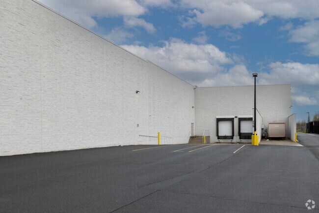
19360 Compass Creek Pky
234-39-2601
Leesburg
Storebuilding
LANDS OF WAL-MART RE BUSINESS TRUST (PREVIOUSLY LANDS OF LEESBURG AIRPORT ASSOC & LEES COMM.) 202411270051419 ANNEX
X
Loudoun
51107C0230E
Virginia
2025
20.55 AC
2025
Leesburg/West Loudoun
610604
Washington, DC
194,328 SF
Washington-Arlington-Alexandria, DC-VA-MD-WV
DEMOGRAPHICS near 19360 Compass Creek Pky
1 Mile
3 Mile
5 Mile
2024 Total Population
3,043
49,881
117,567
2029 Population
3,274
53,850
126,598
Pop Growth 2024-2029
+ 7.59%
+ 7.96%
+ 7.68%
Average Age
37
37
38
2024 Total Households
954
16,541
38,943
HH Growth 2024-2029
+ 7.65%
+ 8.03%
+ 7.83%
Median Household Inc
$190,316
$125,217
$154,995
Avg Household Size
3.10
2.90
3.00
2024 Avg HH Vehicles
2.00
2.00
2.00
Median Home Value
$682,468
$616,867
$678,427
Median Year Built
2002
1994
1998
Nearby Places
Map Layers
Map Styles
 Street
 Aerial
- Restaurants
- Banks
- Shops
- Fitness
- Groceries
PUBLIC TRANSPORTATION
AIRPORT
Washington Dulles International
DRIVE
WALK
Distance
Washington Dulles International
25 min
15.3 mi
Freight Ports
Port of Baltimore
DRIVE
WALK
Distance
Port of Baltimore
98 min
72.2 mi
Nearby Properties
Address
Land Use
TOTAL SIZE
Lot Size
Zoning
Address
Land Use
TOTAL SIZE
Lot Size
Zoning
413,297 SF
21.77 AC
LB:MC
Address
Land Use
TOTAL SIZE
Lot Size
Zoning
485,476 SF
54.14 AC
LB:B3
Address
Land Use
TOTAL SIZE
Lot Size
Zoning
553,617 SF
592.60 AC
PDSA
Address
Land Use
TOTAL SIZE
Lot Size
Zoning
340,152 SF
119.26 AC
TR10
Address
Land Use
TOTAL SIZE
Lot Size
Zoning
420,787 SF
LB:B4
Address
Land Use
TOTAL SIZE
Lot Size
Zoning
37.61 AC
IP
Address
Land Use
TOTAL SIZE
Lot Size
Zoning
248,513 SF
15.77 AC
LB:R22
Address
Land Use
TOTAL SIZE
Lot Size
Zoning
323,043 SF
27.90 AC
LB:B3
Address
Land Use
TOTAL SIZE
Lot Size
Zoning
228,886 SF
29.43 AC
LB:B3
Address
Land Use
TOTAL SIZE
Lot Size
Zoning
198,300 SF
36.09 AC
PDIP
Address
Land Use
TOTAL SIZE
Lot Size
Zoning
261,445 SF
17.95 AC
LB:I1
Address
Land Use
TOTAL SIZE
Lot Size
Zoning
245,886 SF
52.32 AC
LB:RE
Address
Land Use
TOTAL SIZE
Lot Size
Zoning
158,560 SF
2.44 AC
LB:GC
Address
Land Use
TOTAL SIZE
Lot Size
Zoning
294,934 SF
7.11 AC
PDIP
Address
Land Use
TOTAL SIZE
Lot Size
Zoning
258,867 SF
12.57 AC
LB:R22
Address
Land Use
TOTAL SIZE
Lot Size
Zoning
131,283 SF
27.84 AC
LB:B3
Address
Land Use
TOTAL SIZE
Lot Size
Zoning
148,448 SF
9.71 AC
LB:PEC
Address
Land Use
TOTAL SIZE
Lot Size
Zoning
190,454 SF
31.50 AC
LB:R4
Address
Land Use
TOTAL SIZE
Lot Size
Zoning
196,665 SF
18.96 AC
LB:PRN
Address
Land Use
TOTAL SIZE
Lot Size
Zoning
156,958 SF
17.63 AC
LB:PRC
Address
Land Use
TOTAL SIZE
Lot Size
Zoning
31.69 AC
GI
Address
Land Use
TOTAL SIZE
Lot Size
Zoning
18.85 AC
PDH4
Address
Land Use
TOTAL SIZE
Lot Size
Zoning
92,412 SF
18.27 AC
LB:I1
Address
Land Use
TOTAL SIZE
Lot Size
Zoning
79,388 SF
1.86 AC
LB:GC
Address
Land Use
TOTAL SIZE
Lot Size
Zoning
201,306 SF
9.94 AC
LB:R22
Address
Land Use
TOTAL SIZE
Lot Size
Zoning
81,360 SF
67.81 AC
PDRV
Address
Land Use
TOTAL SIZE
Lot Size
Zoning
90,756 SF
7.91 AC
LB:PRN
Address
Land Use
TOTAL SIZE
Lot Size
Zoning
169,800 SF
9.61 AC
LB:R16
Address
Land Use
TOTAL SIZE
Lot Size
Zoning
166,309 SF
3.28 AC
LB:GC
The World's #1 Commercial Real Estate Marketplace
Connect with us
© 2026 CoStar Group
The information above has been obtained from sources believed reliable. While we do not doubt its accuracy we have not verified it and make no guarantee, warranty or representation about it. It is your responsibility to independently confirm its accuracy and completeness. Any projections, opinions, assumptions, or estimates used are for example only and do not represent the current or future performance of the property. The value of this transaction to you depends on tax and other factors which should be evaluated by your tax, financial, and legal advisors. You and your advisors should conduct a careful, independent investigation of the property to determine to your satisfaction the suitability of the property for your needs.