Property Record
1940 Nw Mill St, Madras, OR 97741


NEARBY LISTINGS FOR SALE OR LEASE
Property Detail
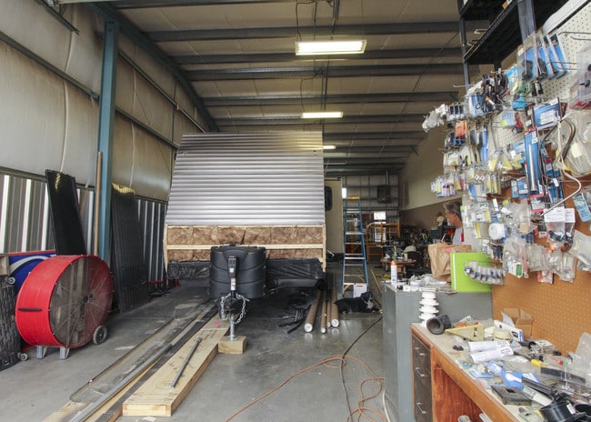
1940 Nw Mill St
Bend, OR
10 S 13 E 35 A 01000 00
101335-A0-01000
Jefferson
Commercialnec
Oregon
2025
1.30 AC
2025
Oregon East Area
960100
Other Market Areas
14,400 SF
DEMOGRAPHICS near 1940 Nw Mill St
1 Mile
3 Mile
5 Mile
2024 Total Population
178
8,580
11,159
2029 Population
182
9,294
12,050
Pop Growth 2024-2029
+ 2.25%
+ 8.32%
+ 7.98%
Average Age
41
38
38
2024 Total Households
63
3,087
3,968
HH Growth 2024-2029
+ 1.59%
+ 7.90%
+ 7.64%
Median Household Inc
$79,167
$53,025
$54,799
Avg Household Size
2.70
2.70
2.70
2024 Avg HH Vehicles
3.00
2.00
2.00
Median Home Value
$430,000
$300,862
$296,708
Median Year Built
1972
1977
1978
Nearby Places
Map Layers
Map Styles
 Street
 Aerial
- Restaurants
- Banks
- Shops
- Fitness
- Groceries
PUBLIC TRANSPORTATION
AIRPORT
Roberts Field
DRIVE
WALK
Distance
Roberts Field
48 min
30.8 mi
SALE & LEASE HISTORY
LISTING DATE
SALE/LEASE

Jun 06, 2018
For Sale
Nearby Properties
Address
Land Use
TOTAL SIZE
Lot Size
Zoning
Address
Land Use
TOTAL SIZE
Lot Size
Zoning
85,692 SF
10.62 AC
OS
Address
Land Use
TOTAL SIZE
Lot Size
Zoning
29,624 SF
2.93 AC
OS
Address
Land Use
TOTAL SIZE
Lot Size
Zoning
111,621 SF
7.67 AC
OS
Address
Land Use
TOTAL SIZE
Lot Size
Zoning
129,027 SF
30.34 AC
A-1
Address
Land Use
TOTAL SIZE
Lot Size
Zoning
37,722 SF
20 AC
A-D
Address
Land Use
TOTAL SIZE
Lot Size
Zoning
35,438 SF
10.11 AC
OS
Address
Land Use
TOTAL SIZE
Lot Size
Zoning
Address
Land Use
TOTAL SIZE
Lot Size
Zoning
Address
Land Use
TOTAL SIZE
Lot Size
Zoning
47,854 SF
8.14 AC
OS
Address
Land Use
TOTAL SIZE
Lot Size
Zoning
31,686 SF
64.20 AC
AM
Address
Land Use
TOTAL SIZE
Lot Size
Zoning
12,600 SF
10.21 AC
I
Address
Land Use
TOTAL SIZE
Lot Size
Zoning
15,580 SF
2.90 AC
OS
Address
Land Use
TOTAL SIZE
Lot Size
Zoning
39,550 SF
1.72 AC
A-D
Address
Land Use
TOTAL SIZE
Lot Size
Zoning
27,420 SF
3.44 AC
OS
Address
Land Use
TOTAL SIZE
Lot Size
Zoning
44,913 SF
6.73 AC
OS
Address
Land Use
TOTAL SIZE
Lot Size
Zoning
16,036 SF
244.71 AC
A-D
Address
Land Use
TOTAL SIZE
Lot Size
Zoning
59,349 SF
6.46 AC
C1
Address
Land Use
TOTAL SIZE
Lot Size
Zoning
25,452 SF
1.32 AC
C3
Address
Land Use
TOTAL SIZE
Lot Size
Zoning
13,862 SF
4.36 AC
OS
Address
Land Use
TOTAL SIZE
Lot Size
Zoning
20,553 SF
0.83 AC
R2
Address
Land Use
TOTAL SIZE
Lot Size
Zoning
4.04 AC
R1
Address
Land Use
TOTAL SIZE
Lot Size
Zoning
2,064 SF
21.56 AC
A/D
Address
Land Use
TOTAL SIZE
Lot Size
Zoning
8,354 SF
14.94 AC
OS
Address
Land Use
TOTAL SIZE
Lot Size
Zoning
30,951 SF
1.83 AC
R2
Address
Land Use
TOTAL SIZE
Lot Size
Zoning
13,033 SF
44 AC
AM
Address
Land Use
TOTAL SIZE
Lot Size
Zoning
10 SF
2.27 AC
I
Address
Land Use
TOTAL SIZE
Lot Size
Zoning
69.88 AC
OS
Address
Land Use
TOTAL SIZE
Lot Size
Zoning
10 SF
6.94 AC
I
Address
Land Use
TOTAL SIZE
Lot Size
Zoning
3,150 SF
5.88 AC
R1
Address
Land Use
TOTAL SIZE
Lot Size
Zoning
103.05 AC
AM
The World's #1 Commercial Real Estate Marketplace
Connect with us
© 2026 CoStar Group
The information above has been obtained from sources believed reliable. While we do not doubt its accuracy we have not verified it and make no guarantee, warranty or representation about it. It is your responsibility to independently confirm its accuracy and completeness. Any projections, opinions, assumptions, or estimates used are for example only and do not represent the current or future performance of the property. The value of this transaction to you depends on tax and other factors which should be evaluated by your tax, financial, and legal advisors. You and your advisors should conduct a careful, independent investigation of the property to determine to your satisfaction the suitability of the property for your needs.