Property Record
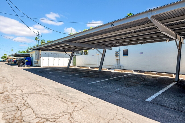
1942 W Berridge Ln, Phoenix, AZ 85015


This Property Is For Sale
NEARBY LISTINGS FOR SALE OR LEASE
Property Detail
1942 W Berridge Ln
Phoenix-Mesa-Chandler, AZ
Park Maryland Amd
156-13-084A
PARK MARYLAND AMD MCR 76/25
Apartment
Maricopa
X
Arizona
04013C1740L
8
2025
0.42 AC
2025
North Phoenix
106802
Phoenix
11,194 SF
DEMOGRAPHICS near 1942 W Berridge Ln
1 Mile
3 Mile
5 Mile
2024 Total Population
27,169
211,997
477,608
2029 Population
29,476
228,595
516,150
Pop Growth 2024-2029
+ 8.49%
+ 7.83%
+ 8.07%
Average Age
36
36
36
2024 Total Households
10,541
79,094
183,376
HH Growth 2024-2029
+ 8.60%
+ 8.25%
+ 8.49%
Median Household Inc
$44,117
$55,257
$56,793
Avg Household Size
2.50
2.50
2.50
2024 Avg HH Vehicles
1.00
2.00
2.00
Median Home Value
$301,336
$348,366
$330,732
Median Year Built
1970
1970
1972
Nearby Places
Map Layers
Map Styles
 Street
 Aerial
- Restaurants
- Banks
- Shops
- Fitness
- Groceries
PUBLIC TRANSPORTATION
TRANSIT/SUBWAY
Montebello/19th Ave (METRO Light Rail - Valley Metro (Phoenix Light Rail))
DRIVE
WALK
Distance
Montebello/19th Ave (METRO Light Rail - Valley Metro (Phoenix Light Rail))
2 min
10 min
0.5 mi
AIRPORT
Phoenix Sky Harbor International
DRIVE
WALK
Distance
Phoenix Sky Harbor International
22 min
13.3 mi
Phoenix-Mesa Gateway
DRIVE
WALK
Distance
Phoenix-Mesa Gateway
55 min
40.4 mi
Nearby Properties
Address
Land Use
TOTAL SIZE
Lot Size
Zoning
Address
Land Use
TOTAL SIZE
Lot Size
Zoning
96,183 SF
11.04 AC
R-6
Address
Land Use
TOTAL SIZE
Lot Size
Zoning
913,637 SF
35.53 AC
M-H
Address
Land Use
TOTAL SIZE
Lot Size
Zoning
21,587 SF
3.66 AC
R-10
Address
Land Use
TOTAL SIZE
Lot Size
Zoning
956,022 SF
14.86 AC
Address
Land Use
TOTAL SIZE
Lot Size
Zoning
496,222 SF
29.53 AC
C-R
Address
Land Use
TOTAL SIZE
Lot Size
Zoning
32,600 SF
2.38 AC
R-5
Address
Land Use
TOTAL SIZE
Lot Size
Zoning
337,487 SF
39 AC
R-6
Address
Land Use
TOTAL SIZE
Lot Size
Zoning
423,681 SF
8.29 AC
Address
Land Use
TOTAL SIZE
Lot Size
Zoning
474,952 SF
13.68 AC
C-C
Address
Land Use
TOTAL SIZE
Lot Size
Zoning
5.67 AC
Address
Land Use
TOTAL SIZE
Lot Size
Zoning
299,513 SF
43.10 AC
M-H
Address
Land Use
TOTAL SIZE
Lot Size
Zoning
4.43 AC
Address
Land Use
TOTAL SIZE
Lot Size
Zoning
401,203 SF
7.25 AC
C2
Address
Land Use
TOTAL SIZE
Lot Size
Zoning
146,867 SF
12.95 AC
CPGCP
Address
Land Use
TOTAL SIZE
Lot Size
Zoning
211,015 SF
9.59 AC
R-6
Address
Land Use
TOTAL SIZE
Lot Size
Zoning
364,236 SF
2.99 AC
WU
Address
Land Use
TOTAL SIZE
Lot Size
Zoning
369,277 SF
3.31 AC
PAD
Address
Land Use
TOTAL SIZE
Lot Size
Zoning
194,523 SF
37.27 AC
R-6
Address
Land Use
TOTAL SIZE
Lot Size
Zoning
394,793 SF
3.60 AC
PUD
Address
Land Use
TOTAL SIZE
Lot Size
Zoning
540,839 SF
8.28 AC
M-H
Address
Land Use
TOTAL SIZE
Lot Size
Zoning
348,766 SF
37.16 AC
R-10
Address
Land Use
TOTAL SIZE
Lot Size
Zoning
342,995 SF
2.65 AC
WU
Address
Land Use
TOTAL SIZE
Lot Size
Zoning
281,990 SF
15.58 AC
R1-6
Address
Land Use
TOTAL SIZE
Lot Size
Zoning
364,351 SF
1.98 AC
C-C
Address
Land Use
TOTAL SIZE
Lot Size
Zoning
204,144 SF
17.64 AC
R-6
Address
Land Use
TOTAL SIZE
Lot Size
Zoning
439,655 SF
1.48 AC
C2
Address
Land Use
TOTAL SIZE
Lot Size
Zoning
250,180 SF
16.16 AC
C-C
Address
Land Use
TOTAL SIZE
Lot Size
Zoning
800,804 SF
0.50 AC
C-G
Address
Land Use
TOTAL SIZE
Lot Size
Zoning
398,829 SF
11.66 AC
M-H
Address
Land Use
TOTAL SIZE
Lot Size
Zoning
99,714 SF
11.72 AC
R-6
The World's #1 Commercial Real Estate Marketplace
Connect with us
© 2026 CoStar Group
The information above has been obtained from sources believed reliable. While we do not doubt its accuracy we have not verified it and make no guarantee, warranty or representation about it. It is your responsibility to independently confirm its accuracy and completeness. Any projections, opinions, assumptions, or estimates used are for example only and do not represent the current or future performance of the property. The value of this transaction to you depends on tax and other factors which should be evaluated by your tax, financial, and legal advisors. You and your advisors should conduct a careful, independent investigation of the property to determine to your satisfaction the suitability of the property for your needs.