Property Record
19425 E 54Th St S, Broken Arrow, OK 74014
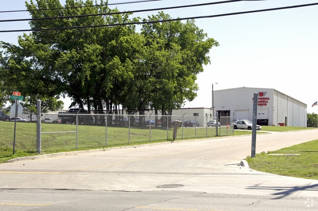

Property Detail
19425 E 54Th St S
730002197
31-19-15 A TRACT IN GOV LOTS 1 & 2 DESC AS COM AT THE W QUARTER CORNER OF SEC 31 - N 00.00'00" E ALONG W LINE OF NW A DIS OF
Manufacturinglight
Wagoner
AE The base floodplain where base flood elevations are provided. AE Zones are now used on new format FIRMs instead of A1-A30 Zones.
Oklahoma
2025
29.93 AC
2025
Wagoner County
030506
Tulsa
8,020 SF
Tulsa, OK
NEARBY LISTINGS FOR SALE OR LEASE
DEMOGRAPHICS near 19425 E 54Th St S
1 mile
3 mile
5 mile
2025 Total Population
9,794
47,669
111,116
2030 Population
10,441
50,539
116,473
Pop Growth 2025-2030
+ 6.61%
+ 6.02%
+ 4.82%
Average Age
37
37
38
2025 Total Households
3,857
17,802
41,593
HH Growth 2025-2030
+ 6.56%
+ 5.85%
+ 4.72%
Median Household Inc
$84,158
$87,451
$79,810
Avg Household Size
2.50
2.60
2.60
2025 Avg HH Vehicles
2.00
2.00
2.00
Median Home Value
$250,523
$256,920
$240,116
Median Year Built
2006
2003
1993
Nearby Places
Map Layers
Map Styles
 Street
 Aerial
Transit
 Traffic
 Biking
Places
Listings with unknown addresses are not visible on the map
- Restaurants
- Banks
- Shops
- Fitness
- Groceries
PUBLIC TRANSPORTATION
AIRPORT
Tulsa International
Drive
Walk
Distance
Tulsa International
27 min
17.6 mi
Freight Ports
Tulsa Port Of Catoosa
Drive
Walk
Distance
Tulsa Port Of Catoosa
19 min
11.3 mi
Nearby Properties
Address
Land Use
TOTAL SIZE
Lot Size
Zoning
Address
Land Use
TOTAL SIZE
Lot Size
Zoning
197,676 SF
13.38 AC
CH
Address
Land Use
TOTAL SIZE
Lot Size
Zoning
115,003 SF
59.09 AC
CG
Address
Land Use
TOTAL SIZE
Lot Size
Zoning
125,902 SF
19.15 AC
CH
Address
Land Use
TOTAL SIZE
Lot Size
Zoning
59,108 SF
11.18 AC
R3
Address
Land Use
TOTAL SIZE
Lot Size
Zoning
53,139 SF
108.91 AC
A1
Address
Land Use
TOTAL SIZE
Lot Size
Zoning
75,444 SF
23.92 AC
R1
Address
Land Use
TOTAL SIZE
Lot Size
Zoning
58,695 SF
5.34 AC
RM
Address
Land Use
TOTAL SIZE
Lot Size
Zoning
77,260 SF
0.58 AC
R3
Address
Land Use
TOTAL SIZE
Lot Size
Zoning
49,113 SF
5.42 AC
R3
Address
Land Use
TOTAL SIZE
Lot Size
Zoning
222,768 SF
20.24 AC
CS
Address
Land Use
TOTAL SIZE
Lot Size
Zoning
58,627 SF
6.07 AC
CG
Address
Land Use
TOTAL SIZE
Lot Size
Zoning
363,154 SF
23.09 AC
IL
Address
Land Use
TOTAL SIZE
Lot Size
Zoning
239,868 SF
14.84 AC
CG
Address
Land Use
TOTAL SIZE
Lot Size
Zoning
13,691 SF
2.04 AC
CH
Address
Land Use
TOTAL SIZE
Lot Size
Zoning
8.25 AC
CH
Address
Land Use
TOTAL SIZE
Lot Size
Zoning
367,352 SF
17.83 AC
CG
Address
Land Use
TOTAL SIZE
Lot Size
Zoning
28,071 SF
19 AC
Address
Land Use
TOTAL SIZE
Lot Size
Zoning
155,646 SF
14.53 AC
RM
Address
Land Use
TOTAL SIZE
Lot Size
Zoning
28,348 SF
0.90 AC
DM
Address
Land Use
TOTAL SIZE
Lot Size
Zoning
283,250 SF
13.87 AC
A1
Address
Land Use
TOTAL SIZE
Lot Size
Zoning
6.75 AC
CH
Address
Land Use
TOTAL SIZE
Lot Size
Zoning
51,741 SF
2.41 AC
R3
Address
Land Use
TOTAL SIZE
Lot Size
Zoning
60,460 SF
2.28 AC
NCU
Address
Land Use
TOTAL SIZE
Lot Size
Zoning
153,125 SF
10.65 AC
RM2
Address
Land Use
TOTAL SIZE
Lot Size
Zoning
10,140 SF
18.57 AC
R1
Address
Land Use
TOTAL SIZE
Lot Size
Zoning
20,633 SF
5.53 AC
Address
Land Use
TOTAL SIZE
Lot Size
Zoning
314,047 SF
12.60 AC
RM
Address
Land Use
TOTAL SIZE
Lot Size
Zoning
12,782 SF
3.69 AC
CM
Address
Land Use
TOTAL SIZE
Lot Size
Zoning
8,224 SF
0.87 AC
CH
The World's #1 Commercial Real Estate Marketplace
Connect with us
© 2026 CoStar Group
The information above has been obtained from sources believed reliable. While we do not doubt its accuracy we have not verified it and make no guarantee, warranty or representation about it. It is your responsibility to independently confirm its accuracy and completeness. Any projections, opinions, assumptions, or estimates used are for example only and do not represent the current or future performance of the property. The value of this transaction to you depends on tax and other factors which should be evaluated by your tax, financial, and legal advisors. You and your advisors should conduct a careful, independent investigation of the property to determine to your satisfaction the suitability of the property for your needs.