Property Record
1950 Broncos Hwy, Glendale, RI 02826
NEARBY LISTINGS FOR SALE OR LEASE
-
-
View all Glendale listings for sale on LoopNet.com
Property Detail
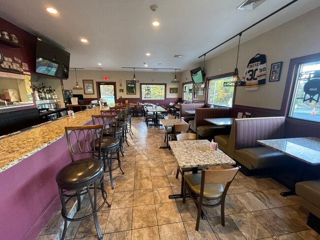
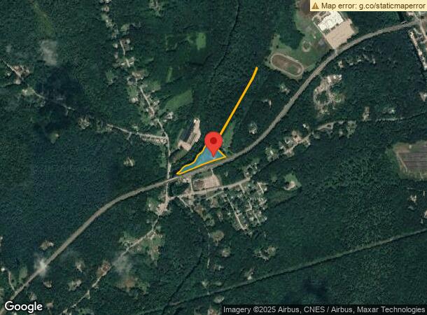
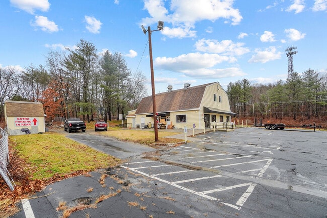
1950 Broncos Hwy
BURR-000130-000000-000001
Providence
Commercialbuilding
Rhode Island
AE
1
44007C0135G
3.56 AC
2025
Burrillville/Glocester
2025
Providence
013002
Providence-Warwick, RI-MA
3,462 SF
DEMOGRAPHICS near 1950 Broncos Hwy
1 Mile
3 Mile
5 Mile
2024 Total Population
944
11,239
31,577
2029 Population
944
11,264
31,700
Pop Growth 2024-2029
0.00%
+ 0.22%
+ 0.39%
Average Age
43
43
43
2024 Total Households
360
4,376
12,177
HH Growth 2024-2029
(0.28%)
+ 0.11%
+ 0.30%
Median Household Inc
$110,879
$95,848
$101,074
Avg Household Size
2.60
2.50
2.50
2024 Avg HH Vehicles
2.00
2.00
2.00
Median Home Value
$351,773
$360,477
$376,014
Median Year Built
1966
1970
1972
Nearby Places
Map Layers
Map Styles
 Street
 Aerial
- Restaurants
- Banks
- Shops
- Fitness
- Groceries
PUBLIC TRANSPORTATION
AIRPORT
Rhode Island Tf Green International
DRIVE
WALK
Distance
Rhode Island Tf Green International
40 min
25.6 mi
Worcester Regional
DRIVE
WALK
Distance
Worcester Regional
44 min
31.0 mi
Freight Ports
Port of Davisville, RI
DRIVE
WALK
Distance
Port of Davisville, RI
51 min
34.9 mi
SALE & LEASE HISTORY
LISTING DATE
SALE/LEASE

Sep 05, 2024
For Sale
Oct 20, 2022
For Sale
May 01, 2023
For Sale
Jan 01, 2024
For Sale
Nearby Properties
Address
Land Use
TOTAL SIZE
Lot Size
Zoning
Address
Land Use
TOTAL SIZE
Lot Size
Zoning
64.77 AC
GI
Address
Land Use
TOTAL SIZE
Lot Size
Zoning
10.43 AC
R20
Address
Land Use
TOTAL SIZE
Lot Size
Zoning
28.39 AC
F5
Address
Land Use
TOTAL SIZE
Lot Size
Zoning
21,080 SF
34.04 AC
RA
Address
Land Use
TOTAL SIZE
Lot Size
Zoning
66,069 SF
2.28 AC
VCVP
Address
Land Use
TOTAL SIZE
Lot Size
Zoning
44.50 AC
F5
Address
Land Use
TOTAL SIZE
Lot Size
Zoning
55,730 SF
8.23 AC
GC
Address
Land Use
TOTAL SIZE
Lot Size
Zoning
23,937 SF
2.34 AC
VCVP
Address
Land Use
TOTAL SIZE
Lot Size
Zoning
5,011 SF
6.98 AC
R12
Address
Land Use
TOTAL SIZE
Lot Size
Zoning
48,902 SF
4.35 AC
VCVP
Address
Land Use
TOTAL SIZE
Lot Size
Zoning
44.16 AC
GI
Address
Land Use
TOTAL SIZE
Lot Size
Zoning
1,293.70 AC
OS
Address
Land Use
TOTAL SIZE
Lot Size
Zoning
41,420 SF
2.90 AC
R12
Address
Land Use
TOTAL SIZE
Lot Size
Zoning
40,110 SF
6.49 AC
VC
Address
Land Use
TOTAL SIZE
Lot Size
Zoning
6.93 AC
GC
Address
Land Use
TOTAL SIZE
Lot Size
Zoning
0.97 AC
R12
Address
Land Use
TOTAL SIZE
Lot Size
Zoning
2.51 AC
RA
Address
Land Use
TOTAL SIZE
Lot Size
Zoning
68.30 AC
GI
Address
Land Use
TOTAL SIZE
Lot Size
Zoning
54.64 AC
REA
Address
Land Use
TOTAL SIZE
Lot Size
Zoning
8.24 AC
F5
Address
Land Use
TOTAL SIZE
Lot Size
Zoning
31,659 SF
21.32 AC
GI
Address
Land Use
TOTAL SIZE
Lot Size
Zoning
65,194 SF
8.71 AC
GI
Address
Land Use
TOTAL SIZE
Lot Size
Zoning
6,288 SF
132.43 AC
F5
Address
Land Use
TOTAL SIZE
Lot Size
Zoning
11,509 SF
0.93 AC
REA
Address
Land Use
TOTAL SIZE
Lot Size
Zoning
8.74 AC
GC
Address
Land Use
TOTAL SIZE
Lot Size
Zoning
20.42 AC
GI
Address
Land Use
TOTAL SIZE
Lot Size
Zoning
18.37 AC
GC
Address
Land Use
TOTAL SIZE
Lot Size
Zoning
124.72 AC
RA
Address
Land Use
TOTAL SIZE
Lot Size
Zoning
42.69 AC
GI
Address
Land Use
TOTAL SIZE
Lot Size
Zoning
3.61 AC
R20
The World's #1 Commercial Real Estate Marketplace
Connect with us
© 2025 CoStar Group
The information above has been obtained from sources believed reliable. While we do not doubt its accuracy we have not verified it and make no guarantee, warranty or representation about it. It is your responsibility to independently confirm its accuracy and completeness. Any projections, opinions, assumptions, or estimates used are for example only and do not represent the current or future performance of the property. The value of this transaction to you depends on tax and other factors which should be evaluated by your tax, financial, and legal advisors. You and your advisors should conduct a careful, independent investigation of the property to determine to your satisfaction the suitability of the property for your needs.