Property Record
1950 Skippack Pike, Blue Bell, PA 19422


NEARBY LISTINGS FOR SALE OR LEASE
Property Detail
1950 Skippack Pike
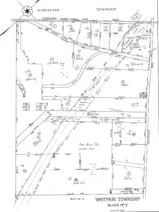
66-00-06430-002
ASSESSOR BLOCK-UNIT NUMBER 7-3
Shipyard
Montgomery
A
Pennsylvania
42091C0266G
3
2024
3.43 AC
2025
West Montgomery County
203204
Philadelphia
101,473 SF
Philadelphia-Camden-Wilmington, PA-NJ-DE-MD
DEMOGRAPHICS near 1950 Skippack Pike
1 Mile
3 Mile
5 Mile
2024 Total Population
4,704
43,854
171,147
2029 Population
4,782
44,677
174,031
Pop Growth 2024-2029
+ 1.66%
+ 1.88%
+ 1.69%
Average Age
42
45
42
2024 Total Households
1,667
16,914
66,540
HH Growth 2024-2029
+ 1.68%
+ 1.90%
+ 1.68%
Median Household Inc
$162,541
$123,730
$95,427
Avg Household Size
2.80
2.50
2.50
2024 Avg HH Vehicles
2.00
2.00
2.00
Median Home Value
$587,922
$440,752
$371,770
Median Year Built
1986
1978
1971
Nearby Places
Map Layers
Map Styles
 Street
 Aerial
- Restaurants
- Banks
- Shops
- Fitness
- Groceries
PUBLIC TRANSPORTATION
COMMUTER RAIL
North Wales (R5 - Southeastern Pennsylvania Transportation Authority Regional Rail (SEPTA Regional Rail))
DRIVE
WALK
Distance
North Wales (R5 - Southeastern Pennsylvania Transportation Authority Regional Rail (SEPTA Regional Rail))
5 min
3.1 mi
Gwynedd Valley (R5 - Southeastern Pennsylvania Transportation Authority Regional Rail (SEPTA Regional Rail))
DRIVE
WALK
Distance
Gwynedd Valley (R5 - Southeastern Pennsylvania Transportation Authority Regional Rail (SEPTA Regional Rail))
8 min
4.0 mi
AIRPORT
Philadelphia International
DRIVE
WALK
Distance
Philadelphia International
49 min
32.1 mi
Trenton Mercer
DRIVE
WALK
Distance
Trenton Mercer
53 min
37.3 mi
Freight Ports
Port of Philadelphia
DRIVE
WALK
Distance
Port of Philadelphia
33 min
19.8 mi
SALE & LEASE HISTORY
LISTING DATE
SALE/LEASE

Sep 24, 2016
For Sale
May 17, 2019
For Sale
Nearby Properties
Address
Land Use
TOTAL SIZE
Lot Size
Zoning
Address
Land Use
TOTAL SIZE
Lot Size
Zoning
7,622,512 SF
315.44 AC
LI
Address
Land Use
TOTAL SIZE
Lot Size
Zoning
1,744,364 SF
91.78 AC
LI
Address
Land Use
TOTAL SIZE
Lot Size
Zoning
365,348 SF
80.44 AC
IN
Address
Land Use
TOTAL SIZE
Lot Size
Zoning
688,123 SF
190.06 AC
IN
Address
Land Use
TOTAL SIZE
Lot Size
Zoning
720,767 SF
118.21 AC
AGR
Address
Land Use
TOTAL SIZE
Lot Size
Zoning
476,392 SF
54.50 AC
I
Address
Land Use
TOTAL SIZE
Lot Size
Zoning
610,455 SF
103.65 AC
R6
Address
Land Use
TOTAL SIZE
Lot Size
Zoning
505,128 SF
12.11 AC
RE
Address
Land Use
TOTAL SIZE
Lot Size
Zoning
217,564 SF
12.64 AC
IN
Address
Land Use
TOTAL SIZE
Lot Size
Zoning
381,496 SF
5.37 AC
EC
Address
Land Use
TOTAL SIZE
Lot Size
Zoning
311,142 SF
39.51 AC
R1
Address
Land Use
TOTAL SIZE
Lot Size
Zoning
53,368 SF
38.59 AC
R3
Address
Land Use
TOTAL SIZE
Lot Size
Zoning
213,070 SF
29.67 AC
RE
Address
Land Use
TOTAL SIZE
Lot Size
Zoning
703,182 SF
84.25 AC
LI
Address
Land Use
TOTAL SIZE
Lot Size
Zoning
416,392 SF
26.56 AC
HR
Address
Land Use
TOTAL SIZE
Lot Size
Zoning
205,344 SF
26.67 AC
RE
Address
Land Use
TOTAL SIZE
Lot Size
Zoning
133,012 SF
32.23 AC
IN
Address
Land Use
TOTAL SIZE
Lot Size
Zoning
172,689 SF
18.74 AC
AR
Address
Land Use
TOTAL SIZE
Lot Size
Zoning
337,873 SF
10.81 AC
HR
Address
Land Use
TOTAL SIZE
Lot Size
Zoning
191,042 SF
9.59 AC
R6
Address
Land Use
TOTAL SIZE
Lot Size
Zoning
102,468 SF
11.48 AC
C
Address
Land Use
TOTAL SIZE
Lot Size
Zoning
109,066 SF
31.76 AC
IN
Address
Land Use
TOTAL SIZE
Lot Size
Zoning
207,661 SF
20 AC
SC
Address
Land Use
TOTAL SIZE
Lot Size
Zoning
160,763 SF
3.84 AC
EC
Address
Land Use
TOTAL SIZE
Lot Size
Zoning
155,614 SF
10.60 AC
RE
Address
Land Use
TOTAL SIZE
Lot Size
Zoning
68,442 SF
12.22 AC
AGR
Address
Land Use
TOTAL SIZE
Lot Size
Zoning
94,430 SF
19.22 AC
SC
Address
Land Use
TOTAL SIZE
Lot Size
Zoning
73,692 SF
1.20 AC
IN
Address
Land Use
TOTAL SIZE
Lot Size
Zoning
148,455 SF
17.56 AC
I
Address
Land Use
TOTAL SIZE
Lot Size
Zoning
133,079 SF
14.73 AC
AR
The World's #1 Commercial Real Estate Marketplace
Connect with us
© 2025 CoStar Group
The information above has been obtained from sources believed reliable. While we do not doubt its accuracy we have not verified it and make no guarantee, warranty or representation about it. It is your responsibility to independently confirm its accuracy and completeness. Any projections, opinions, assumptions, or estimates used are for example only and do not represent the current or future performance of the property. The value of this transaction to you depends on tax and other factors which should be evaluated by your tax, financial, and legal advisors. You and your advisors should conduct a careful, independent investigation of the property to determine to your satisfaction the suitability of the property for your needs.