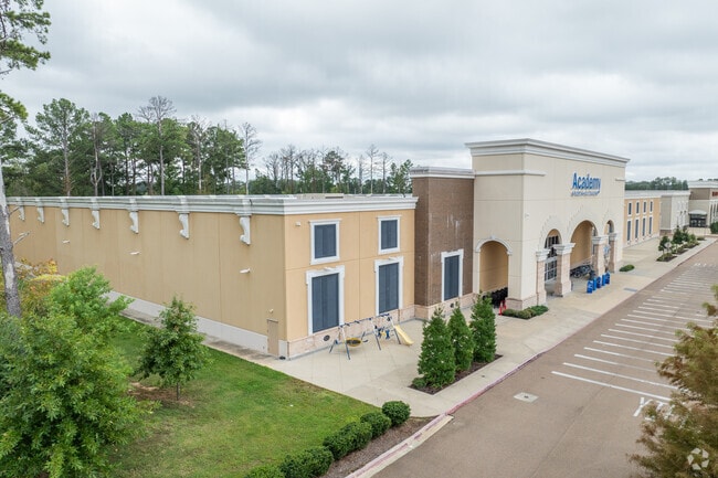
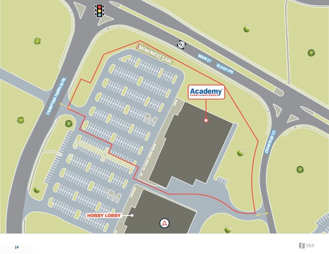
Property Record
1951 Main St, Madison, MS 39110

Property Detail
1951 Main St
Jackson, MS
LOT 1 WELCH FARMS SUBD
072C-07A-005/02
MADISON
Realpropertynec
Mississippi
B and X Area of moderate flood hazard, usually the area between the limits of the 100-year and 500-year floods.
1
2025
7.07 AC
2025
Madison/Ridgeland
030203
Jackson
64,626 SF
NEARBY LISTINGS FOR SALE OR LEASE
DEMOGRAPHICS near 1951 Main St
1 mile
3 mile
5 mile
2025 Total Population
2,660
24,189
68,780
2030 Population
2,776
24,988
71,436
Pop Growth 2025-2030
+ 4.36%
+ 3.30%
+ 3.86%
Average Age
39
41
40
2025 Total Households
1,026
9,033
27,169
HH Growth 2025-2030
+ 4.58%
+ 3.60%
+ 4.10%
Median Household Inc
$93,711
$99,285
$86,502
Avg Household Size
2.60
2.60
2.40
2025 Avg HH Vehicles
2.00
2.00
2.00
Median Home Value
$288,832
$355,058
$353,905
Median Year Built
1994
1995
1994
Nearby Places
Map Layers
Map Styles
 Street
 Aerial
Transit
 Traffic
 Biking
Places
Listings with unknown addresses are not visible on the map
- Restaurants
- Banks
- Shops
- Fitness
- Groceries
PUBLIC TRANSPORTATION
AIRPORT
Jackson-Medgar Wiley Evers International
Drive
Walk
Distance
Jackson-Medgar Wiley Evers International
32 min
20.3 mi
SALE & LEASE HISTORY
LISTING DATE
SALE/LEASE

Sep 09, 2025
For Sale
Apr 02, 2018
For Sale
Nearby Properties
Address
Land Use
TOTAL SIZE
Lot Size
Zoning
Address
Land Use
TOTAL SIZE
Lot Size
Zoning
8,901 SF
37.80 AC
Address
Land Use
TOTAL SIZE
Lot Size
Zoning
326,732 SF
2 AC
Address
Land Use
TOTAL SIZE
Lot Size
Zoning
297,150 SF
5.70 AC
Address
Land Use
TOTAL SIZE
Lot Size
Zoning
78,922 SF
26.14 AC
Address
Land Use
TOTAL SIZE
Lot Size
Zoning
178,482 SF
23.13 AC
Address
Land Use
TOTAL SIZE
Lot Size
Zoning
117,149 SF
10.58 AC
Address
Land Use
TOTAL SIZE
Lot Size
Zoning
79,666 SF
7.92 AC
Address
Land Use
TOTAL SIZE
Lot Size
Zoning
225 SF
12.81 AC
Address
Land Use
TOTAL SIZE
Lot Size
Zoning
107,871 SF
3 AC
Address
Land Use
TOTAL SIZE
Lot Size
Zoning
84,542 SF
6.29 AC
Address
Land Use
TOTAL SIZE
Lot Size
Zoning
68,017 SF
10.56 AC
Address
Land Use
TOTAL SIZE
Lot Size
Zoning
3,369 SF
9 AC
Address
Land Use
TOTAL SIZE
Lot Size
Zoning
112 SF
7 AC
Address
Land Use
TOTAL SIZE
Lot Size
Zoning
148,808 SF
12.80 AC
Address
Land Use
TOTAL SIZE
Lot Size
Zoning
23,474 SF
9.50 AC
Address
Land Use
TOTAL SIZE
Lot Size
Zoning
76,309 SF
7.38 AC
Address
Land Use
TOTAL SIZE
Lot Size
Zoning
122,775 SF
8.40 AC
Address
Land Use
TOTAL SIZE
Lot Size
Zoning
85,526 SF
6.94 AC
Address
Land Use
TOTAL SIZE
Lot Size
Zoning
70,744 SF
5.04 AC
Address
Land Use
TOTAL SIZE
Lot Size
Zoning
66,974 SF
2.54 AC
Address
Land Use
TOTAL SIZE
Lot Size
Zoning
62,194 SF
3.03 AC
Address
Land Use
TOTAL SIZE
Lot Size
Zoning
5,586 SF
3.27 AC
Address
Land Use
TOTAL SIZE
Lot Size
Zoning
110,361 SF
11.35 AC
Address
Land Use
TOTAL SIZE
Lot Size
Zoning
66,354 SF
0.61 AC
Address
Land Use
TOTAL SIZE
Lot Size
Zoning
68,984 SF
2.56 AC
Address
Land Use
TOTAL SIZE
Lot Size
Zoning
77,099 SF
7.10 AC
Address
Land Use
TOTAL SIZE
Lot Size
Zoning
63,374 SF
7.40 AC
Address
Land Use
TOTAL SIZE
Lot Size
Zoning
90,847 SF
5.40 AC
C2
Address
Land Use
TOTAL SIZE
Lot Size
Zoning
71,357 SF
2.50 AC
Address
Land Use
TOTAL SIZE
Lot Size
Zoning
123,656 SF
6.86 AC
The World's #1 Commercial Real Estate Marketplace
Connect with us
© 2026 CoStar Group
The information above has been obtained from sources believed reliable. While we do not doubt its accuracy we have not verified it and make no guarantee, warranty or representation about it. It is your responsibility to independently confirm its accuracy and completeness. Any projections, opinions, assumptions, or estimates used are for example only and do not represent the current or future performance of the property. The value of this transaction to you depends on tax and other factors which should be evaluated by your tax, financial, and legal advisors. You and your advisors should conduct a careful, independent investigation of the property to determine to your satisfaction the suitability of the property for your needs.