Property Record
1952 E Randolph Rd, Casa Grande, AZ 85194


Property Detail
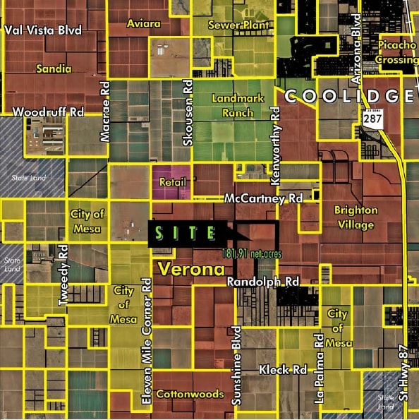
1952 E Randolph Rd
401-22-013A
S1/2 NW & SW OF SEC 5 EXC THE E-1285.00 S-1848.76 THEREOF EXC T HE S-33 THEREOF SEC 5-6S-8E 186.46 AC
Vacantlandnec
PINAL
UNDESIGNAT
Arizona
B and X Area of moderate flood hazard, usually the area between the limits of the 100-year and 500-year floods.
186.46 AC
2024
Pinal County
2025
Phoenix
001200
Phoenix-Mesa-Chandler, AZ
1,690 SF
NEARBY LISTINGS FOR SALE OR LEASE
DEMOGRAPHICS near 1952 E Randolph Rd
1 mile
3 mile
5 mile
2025 Total Population
678
4,660
21,725
2030 Population
811
5,510
25,912
Pop Growth 2025-2030
+ 19.62%
+ 18.24%
+ 19.27%
Average Age
47
40
38
2025 Total Households
276
1,666
7,301
HH Growth 2025-2030
+ 19.57%
+ 18.13%
+ 18.96%
Median Household Inc
$49,999
$55,706
$61,938
Avg Household Size
2.40
2.80
2.90
2025 Avg HH Vehicles
2.00
2.00
2.00
Median Home Value
$172,222
$181,352
$261,959
Median Year Built
1995
1995
2000
Nearby Places
Map Layers
Map Styles
 Street
 Aerial
Layers
 Traffic
 Biking
Places
Listings with unknown addresses are not visible on the map
- Restaurants
- Banks
- Shops
- Fitness
- Groceries
PUBLIC TRANSPORTATION
AIRPORT
Phoenix-Mesa Gateway
Drive
Walk
Distance
Phoenix-Mesa Gateway
64 min
36.0 mi
Freight Ports
Port of San Diego
Drive
Walk
Distance
Port of San Diego
397 min
364.1 mi
Nearby Properties
Address
Land Use
TOTAL SIZE
Lot Size
Zoning
Address
Land Use
TOTAL SIZE
Lot Size
Zoning
101.31 AC
UNDESIGNAT
Address
Land Use
TOTAL SIZE
Lot Size
Zoning
73,320 SF
33.83 AC
Address
Land Use
TOTAL SIZE
Lot Size
Zoning
108,984 SF
9.26 AC
UNDESIGNAT
Address
Land Use
TOTAL SIZE
Lot Size
Zoning
51,762 SF
7.44 AC
Address
Land Use
TOTAL SIZE
Lot Size
Zoning
8,594 SF
37.10 AC
UNDESIGNAT
Address
Land Use
TOTAL SIZE
Lot Size
Zoning
34,072 SF
2.70 AC
Address
Land Use
TOTAL SIZE
Lot Size
Zoning
76.21 AC
GR
Address
Land Use
TOTAL SIZE
Lot Size
Zoning
290 SF
17.50 AC
UNDESIGNAT
Address
Land Use
TOTAL SIZE
Lot Size
Zoning
70,288 SF
160 AC
GR
Address
Land Use
TOTAL SIZE
Lot Size
Zoning
17,720 SF
2.39 AC
Address
Land Use
TOTAL SIZE
Lot Size
Zoning
16,190 SF
4.81 AC
Address
Land Use
TOTAL SIZE
Lot Size
Zoning
461.69 AC
Address
Land Use
TOTAL SIZE
Lot Size
Zoning
171.17 AC
UNDESIGNAT
Address
Land Use
TOTAL SIZE
Lot Size
Zoning
27,172 SF
161.44 AC
GR
Address
Land Use
TOTAL SIZE
Lot Size
Zoning
24,635 SF
159.75 AC
Address
Land Use
TOTAL SIZE
Lot Size
Zoning
140 AC
GR
Address
Land Use
TOTAL SIZE
Lot Size
Zoning
109.35 AC
CI2
Address
Land Use
TOTAL SIZE
Lot Size
Zoning
202 SF
20 AC
UNDESIGNAT
Address
Land Use
TOTAL SIZE
Lot Size
Zoning
9,231 SF
1.02 AC
Address
Land Use
TOTAL SIZE
Lot Size
Zoning
27,231 SF
2.06 AC
The World's #1 Commercial Real Estate Marketplace
Connect with us
© 2026 CoStar Group
The information above has been obtained from sources believed reliable. While we do not doubt its accuracy we have not verified it and make no guarantee, warranty or representation about it. It is your responsibility to independently confirm its accuracy and completeness. Any projections, opinions, assumptions, or estimates used are for example only and do not represent the current or future performance of the property. The value of this transaction to you depends on tax and other factors which should be evaluated by your tax, financial, and legal advisors. You and your advisors should conduct a careful, independent investigation of the property to determine to your satisfaction the suitability of the property for your needs.