Property Record
1957 Highway 99 N, Eugene, OR 97402


Property Detail
1957 Highway 99 N
Eugene-Springfield, OR
TL 00200
0410611
Lane
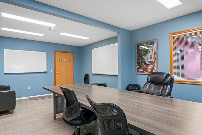
Commercialbuilding
Oregon
C-2
200
B and X Area of moderate flood hazard, usually the area between the limits of the 100-year and 500-year floods.
0.25 AC
2025
Lane County
2025
Portland
002600
NEARBY LISTINGS FOR SALE OR LEASE
DEMOGRAPHICS near 1957 Highway 99 N
1 mile
3 mile
5 mile
2025 Total Population
14,214
80,788
165,059
2030 Population
14,075
79,769
163,619
Pop Growth 2025-2030
(0.98%)
(1.26%)
(0.87%)
Average Age
41
41
40
2025 Total Households
4,975
31,806
68,345
HH Growth 2025-2030
(1.31%)
(1.39%)
(0.97%)
Median Household Inc
$61,656
$70,646
$66,789
Avg Household Size
2.40
2.40
2.20
2025 Avg HH Vehicles
2.00
2.00
2.00
Median Home Value
$348,574
$391,202
$445,562
Median Year Built
1975
1978
1978
Nearby Places
Map Layers
Map Styles
 Street
 Aerial
Layers
 Traffic
 Biking
Places
Listings with unknown addresses are not visible on the map
- Restaurants
- Banks
- Shops
- Fitness
- Groceries
PUBLIC TRANSPORTATION
COMMUTER RAIL
Eugene (Amtrak Cascades - Amtrak, Coast Starlight - Amtrak)
Drive
Walk
Distance
Eugene (Amtrak Cascades - Amtrak, Coast Starlight - Amtrak)
7 min
4.4 mi
AIRPORT
Mahlon Sweet Field
Drive
Walk
Distance
Mahlon Sweet Field
9 min
4.8 mi
Freight Ports
Port of Coos Bay, OR
Drive
Walk
Distance
Port of Coos Bay, OR
149 min
107.3 mi
SALE & LEASE HISTORY
LISTING DATE
SALE/LEASE

Oct 11, 2021
For Sale
Nov 21, 2024
For Sale
May 17, 2018
For Sale
Mar 08, 2019
For Sale
Jun 20, 2018
For Sale
Jan 15, 2025
For Lease
Feb 24, 2023
For Lease
Feb 06, 2024
For Lease
Aug 07, 2024
For Lease
Aug 07, 2024
For Sale
Nearby Properties
Address
Land Use
TOTAL SIZE
Lot Size
Zoning
Address
Land Use
TOTAL SIZE
Lot Size
Zoning
Address
Land Use
TOTAL SIZE
Lot Size
Zoning
44.56 AC
PL
Address
Land Use
TOTAL SIZE
Lot Size
Zoning
12.42 AC
AG
Address
Land Use
TOTAL SIZE
Lot Size
Zoning
11.80 AC
PL
Address
Land Use
TOTAL SIZE
Lot Size
Zoning
480 SF
35.67 AC
AG
Address
Land Use
TOTAL SIZE
Lot Size
Zoning
Address
Land Use
TOTAL SIZE
Lot Size
Zoning
25.78 AC
C-2
Address
Land Use
TOTAL SIZE
Lot Size
Zoning
12.12 AC
C-2
Address
Land Use
TOTAL SIZE
Lot Size
Zoning
22.83 AC
PL
Address
Land Use
TOTAL SIZE
Lot Size
Zoning
45.78 AC
I-3
Address
Land Use
TOTAL SIZE
Lot Size
Zoning
Address
Land Use
TOTAL SIZE
Lot Size
Zoning
6.94 AC
PL
Address
Land Use
TOTAL SIZE
Lot Size
Zoning
8.69 AC
R-1
Address
Land Use
TOTAL SIZE
Lot Size
Zoning
12.53 AC
R-2
Address
Land Use
TOTAL SIZE
Lot Size
Zoning
14.14 AC
R-1
Address
Land Use
TOTAL SIZE
Lot Size
Zoning
19.65 AC
C-2
Address
Land Use
TOTAL SIZE
Lot Size
Zoning
27.47 AC
R-1
Address
Land Use
TOTAL SIZE
Lot Size
Zoning
4.67 AC
PL
Address
Land Use
TOTAL SIZE
Lot Size
Zoning
44.67 AC
I-2
Address
Land Use
TOTAL SIZE
Lot Size
Zoning
4.85 AC
PL
Address
Land Use
TOTAL SIZE
Lot Size
Zoning
29.96 AC
AG
Address
Land Use
TOTAL SIZE
Lot Size
Zoning
14.20 AC
R-1
Address
Land Use
TOTAL SIZE
Lot Size
Zoning
3,634 SF
6.34 AC
R-2
Address
Land Use
TOTAL SIZE
Lot Size
Zoning
5.38 AC
PL
Address
Land Use
TOTAL SIZE
Lot Size
Zoning
12.36 AC
C-1
Address
Land Use
TOTAL SIZE
Lot Size
Zoning
5.98 AC
PL
Address
Land Use
TOTAL SIZE
Lot Size
Zoning
7.38 AC
C-2
Address
Land Use
TOTAL SIZE
Lot Size
Zoning
0.97 AC
PL
Address
Land Use
TOTAL SIZE
Lot Size
Zoning
Address
Land Use
TOTAL SIZE
Lot Size
Zoning
6.94 AC
R-1
The World's #1 Commercial Real Estate Marketplace
Connect with us
© 2026 CoStar Group
The information above has been obtained from sources believed reliable. While we do not doubt its accuracy we have not verified it and make no guarantee, warranty or representation about it. It is your responsibility to independently confirm its accuracy and completeness. Any projections, opinions, assumptions, or estimates used are for example only and do not represent the current or future performance of the property. The value of this transaction to you depends on tax and other factors which should be evaluated by your tax, financial, and legal advisors. You and your advisors should conduct a careful, independent investigation of the property to determine to your satisfaction the suitability of the property for your needs.