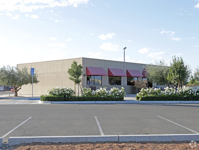
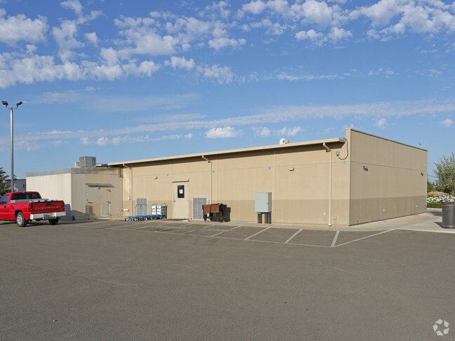
Property Record
1959 N Willow Ave, Clovis, CA 93619

Property Detail
1959 N Willow Ave
560-010-40
18.16 AC IN NW1/4 OF NW1/4 SC 30 T12R21
Commercialacreage
Fresno
C and X Area of minimal flood hazard, usually depicted on FIRMs as above the 500-year flood level.
California
2025
18.16 AC
2025
Clovis
005524
Fresno
38,275 SF
Fresno, CA
NEARBY LISTINGS FOR SALE OR LEASE
DEMOGRAPHICS near 1959 N Willow Ave
1 mile
3 mile
5 mile
2025 Total Population
14,555
96,068
218,202
2030 Population
14,741
97,603
221,182
Pop Growth 2025-2030
+ 1.28%
+ 1.60%
+ 1.37%
Average Age
39
40
38
2025 Total Households
4,949
35,397
81,191
HH Growth 2025-2030
+ 1.21%
+ 1.57%
+ 1.39%
Median Household Inc
$122,377
$112,822
$86,252
Avg Household Size
2.90
2.70
2.60
2025 Avg HH Vehicles
2.00
2.00
2.00
Median Home Value
$558,441
$530,569
$465,871
Median Year Built
2002
1995
1987
Nearby Places
Map Layers
Map Styles
 Street
 Aerial
Transit
 Traffic
 Biking
Places
Listings with unknown addresses are not visible on the map
- Restaurants
- Banks
- Shops
- Fitness
- Groceries
PUBLIC TRANSPORTATION
AIRPORT
Fresno Yosemite International
Drive
Walk
Distance
Fresno Yosemite International
15 min
7.8 mi
Nearby Properties
Address
Land Use
TOTAL SIZE
Lot Size
Zoning
Address
Land Use
TOTAL SIZE
Lot Size
Zoning
693,292 SF
29.86 AC
CP
Address
Land Use
TOTAL SIZE
Lot Size
Zoning
180,770 SF
19.03 AC
PCC
Address
Land Use
TOTAL SIZE
Lot Size
Zoning
180,161 SF
10.38 AC
Address
Land Use
TOTAL SIZE
Lot Size
Zoning
239,000 SF
20.34 AC
R2
Address
Land Use
TOTAL SIZE
Lot Size
Zoning
239,437 SF
31.16 AC
RA
Address
Land Use
TOTAL SIZE
Lot Size
Zoning
192,062 SF
11.50 AC
RS5
Address
Land Use
TOTAL SIZE
Lot Size
Zoning
188,913 SF
7.90 AC
Address
Land Use
TOTAL SIZE
Lot Size
Zoning
184,694 SF
9.99 AC
SPLIT
Address
Land Use
TOTAL SIZE
Lot Size
Zoning
119,869 SF
11.08 AC
C1
Address
Land Use
TOTAL SIZE
Lot Size
Zoning
212,354 SF
13.12 AC
R2
Address
Land Use
TOTAL SIZE
Lot Size
Zoning
188,177 SF
5.58 AC
CP
Address
Land Use
TOTAL SIZE
Lot Size
Zoning
174,577 SF
8.40 AC
RM1
Address
Land Use
TOTAL SIZE
Lot Size
Zoning
200,826 SF
19.23 AC
R2
Address
Land Use
TOTAL SIZE
Lot Size
Zoning
152,550 SF
9.23 AC
R3
Address
Land Use
TOTAL SIZE
Lot Size
Zoning
175,117 SF
10 AC
C1
Address
Land Use
TOTAL SIZE
Lot Size
Zoning
191,177 SF
19.19 AC
C2
Address
Land Use
TOTAL SIZE
Lot Size
Zoning
132,084 SF
9.68 AC
RM1
Address
Land Use
TOTAL SIZE
Lot Size
Zoning
8.80 AC
AE5
Address
Land Use
TOTAL SIZE
Lot Size
Zoning
129,860 SF
6.10 AC
Address
Land Use
TOTAL SIZE
Lot Size
Zoning
32,151 SF
14.84 AC
Address
Land Use
TOTAL SIZE
Lot Size
Zoning
77,858 SF
4.23 AC
CP
Address
Land Use
TOTAL SIZE
Lot Size
Zoning
69,399 SF
7.31 AC
CP
Address
Land Use
TOTAL SIZE
Lot Size
Zoning
73,821 SF
6.52 AC
CP
Address
Land Use
TOTAL SIZE
Lot Size
Zoning
140,608 SF
11.15 AC
PCC
Address
Land Use
TOTAL SIZE
Lot Size
Zoning
180,161 SF
10.38 AC
CC
Address
Land Use
TOTAL SIZE
Lot Size
Zoning
98,530 SF
9.26 AC
RP
Address
Land Use
TOTAL SIZE
Lot Size
Zoning
104,240 SF
8.40 AC
R2
Address
Land Use
TOTAL SIZE
Lot Size
Zoning
69,853 SF
7.13 AC
CP
The World's #1 Commercial Real Estate Marketplace
Connect with us
© 2026 CoStar Group
The information above has been obtained from sources believed reliable. While we do not doubt its accuracy we have not verified it and make no guarantee, warranty or representation about it. It is your responsibility to independently confirm its accuracy and completeness. Any projections, opinions, assumptions, or estimates used are for example only and do not represent the current or future performance of the property. The value of this transaction to you depends on tax and other factors which should be evaluated by your tax, financial, and legal advisors. You and your advisors should conduct a careful, independent investigation of the property to determine to your satisfaction the suitability of the property for your needs.