Property Record
196 W North Bend Rd, Cincinnati, OH 45216
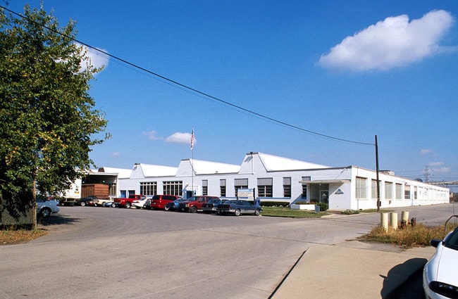

Property Detail
196 W North Bend Rd
242-0004-0001
NORTH BEND RD 18.02 AC - R1-T3-S7
Industrialacreage
HAMILTON
MG
Ohio
AE The base floodplain where base flood elevations are provided. AE Zones are now used on new format FIRMs instead of A1-A30 Zones.
44.26 AC
2025
Central/Midtown
2025
Cincinnati/Dayton
006100
Cincinnati, OH-KY-IN
NEARBY LISTINGS FOR SALE OR LEASE
DEMOGRAPHICS near 196 W North Bend Rd
1 mile
3 mile
5 mile
2025 Total Population
6,529
91,318
270,904
2030 Population
6,562
91,834
273,966
Pop Growth 2025-2030
+ 0.51%
+ 0.57%
+ 1.13%
Average Age
39
40
39
2025 Total Households
2,672
38,883
119,076
HH Growth 2025-2030
+ 0.60%
+ 0.61%
+ 1.13%
Median Household Inc
$56,246
$59,294
$61,241
Avg Household Size
2.30
2.20
2.10
2025 Avg HH Vehicles
2.00
2.00
2.00
Median Home Value
$149,038
$206,458
$231,358
Median Year Built
1947
1952
1953
Nearby Places
Map Layers
Map Styles
 Street
 Aerial
Layers
 Traffic
 Biking
Places
Listings with unknown addresses are not visible on the map
- Restaurants
- Banks
- Shops
- Fitness
- Groceries
PUBLIC TRANSPORTATION
COMMUTER RAIL
Drive
Walk
Distance
14 min
8.9 mi
AIRPORT
Cincinnati/Northern Kentucky International
Drive
Walk
Distance
Cincinnati/Northern Kentucky International
39 min
22.9 mi
Nearby Properties
Address
Land Use
TOTAL SIZE
Lot Size
Zoning
Address
Land Use
TOTAL SIZE
Lot Size
Zoning
Address
Land Use
TOTAL SIZE
Lot Size
Zoning
29.67 AC
RM20
Address
Land Use
TOTAL SIZE
Lot Size
Zoning
6.34 AC
Address
Land Use
TOTAL SIZE
Lot Size
Zoning
11,639 SF
7.87 AC
R2
Address
Land Use
TOTAL SIZE
Lot Size
Zoning
14.15 AC
Address
Land Use
TOTAL SIZE
Lot Size
Zoning
23.45 AC
Address
Land Use
TOTAL SIZE
Lot Size
Zoning
330,335 SF
0.80 AC
R3
Address
Land Use
TOTAL SIZE
Lot Size
Zoning
42.41 AC
Address
Land Use
TOTAL SIZE
Lot Size
Zoning
344,923 SF
18.47 AC
RM20
Address
Land Use
TOTAL SIZE
Lot Size
Zoning
13.08 AC
Address
Land Use
TOTAL SIZE
Lot Size
Zoning
20.07 AC
B2
Address
Land Use
TOTAL SIZE
Lot Size
Zoning
2.22 AC
Address
Land Use
TOTAL SIZE
Lot Size
Zoning
437,072 SF
8.03 AC
R2
Address
Land Use
TOTAL SIZE
Lot Size
Zoning
4.14 AC
M2PUD
Address
Land Use
TOTAL SIZE
Lot Size
Zoning
4.64 AC
SF20
Address
Land Use
TOTAL SIZE
Lot Size
Zoning
Address
Land Use
TOTAL SIZE
Lot Size
Zoning
Address
Land Use
TOTAL SIZE
Lot Size
Zoning
88.15 AC
ML
Address
Land Use
TOTAL SIZE
Lot Size
Zoning
11,664 SF
29.27 AC
RM20
Address
Land Use
TOTAL SIZE
Lot Size
Zoning
Address
Land Use
TOTAL SIZE
Lot Size
Zoning
8,720 SF
33.28 AC
R3
Address
Land Use
TOTAL SIZE
Lot Size
Zoning
38,102 SF
6.26 AC
SF10
Address
Land Use
TOTAL SIZE
Lot Size
Zoning
Address
Land Use
TOTAL SIZE
Lot Size
Zoning
121,747 SF
23.05 AC
R3
Address
Land Use
TOTAL SIZE
Lot Size
Zoning
4.06 AC
M2PUD
Address
Land Use
TOTAL SIZE
Lot Size
Zoning
9.51 AC
Address
Land Use
TOTAL SIZE
Lot Size
Zoning
38,680 SF
7.07 AC
RM20
Address
Land Use
TOTAL SIZE
Lot Size
Zoning
25.26 AC
Address
Land Use
TOTAL SIZE
Lot Size
Zoning
9.74 AC
PD
Address
Land Use
TOTAL SIZE
Lot Size
Zoning
50,196 SF
17.64 AC
RM20
The World's #1 Commercial Real Estate Marketplace
Connect with us
© 2026 CoStar Group
The information above has been obtained from sources believed reliable. While we do not doubt its accuracy we have not verified it and make no guarantee, warranty or representation about it. It is your responsibility to independently confirm its accuracy and completeness. Any projections, opinions, assumptions, or estimates used are for example only and do not represent the current or future performance of the property. The value of this transaction to you depends on tax and other factors which should be evaluated by your tax, financial, and legal advisors. You and your advisors should conduct a careful, independent investigation of the property to determine to your satisfaction the suitability of the property for your needs.