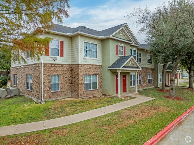
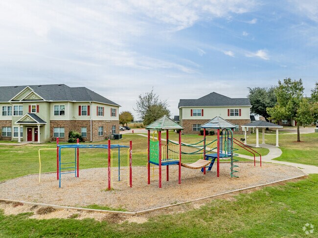
Property Record
19600 N Heatherwilde Blvd, Pflugerville, TX 78660

Property Detail
19600 N Heatherwilde Blvd
Austin-Round Rock-San Marcos, TX
LOT 1 BLK T WESTCHESTER WOODS
550282
Travis
Multifamilydwelling
Texas
B and X Area of moderate flood hazard, usually the area between the limits of the 100-year and 500-year floods.
1
2025
20 AC
2025
Round Rock
046000
Austin
255,822 SF
NEARBY LISTINGS FOR SALE OR LEASE
-
-
View all Pflugerville listings for sale on LoopNet.com
DEMOGRAPHICS near 19600 N Heatherwilde Blvd
1 mile
3 mile
5 mile
2025 Total Population
9,138
98,716
252,272
2030 Population
9,928
106,851
276,316
Pop Growth 2025-2030
+ 8.65%
+ 8.24%
+ 9.53%
Average Age
37
37
37
2025 Total Households
2,990
34,786
89,956
HH Growth 2025-2030
+ 9.16%
+ 8.90%
+ 10.15%
Median Household Inc
$133,029
$125,066
$109,412
Avg Household Size
3.00
2.80
2.80
2025 Avg HH Vehicles
2.00
2.00
2.00
Median Home Value
$421,514
$435,017
$419,513
Median Year Built
2005
2007
2006
Nearby Places
Map Layers
Map Styles
 Street
 Aerial
Layers
 Traffic
 Biking
Places
Listings with unknown addresses are not visible on the map
- Restaurants
- Banks
- Shops
- Fitness
- Groceries
PUBLIC TRANSPORTATION
AIRPORT
Austin-Bergstrom International
Drive
Walk
Distance
Austin-Bergstrom International
38 min
28.9 mi
Freight Ports
Calhoun Port
Drive
Walk
Distance
Calhoun Port
198 min
171.8 mi
Nearby Properties
Address
Land Use
TOTAL SIZE
Lot Size
Zoning
Address
Land Use
TOTAL SIZE
Lot Size
Zoning
1,240,638 SF
171.60 AC
Address
Land Use
TOTAL SIZE
Lot Size
Zoning
422,682 SF
95.18 AC
Address
Land Use
TOTAL SIZE
Lot Size
Zoning
485,021 SF
50.17 AC
C1
Address
Land Use
TOTAL SIZE
Lot Size
Zoning
475,624 SF
64.73 AC
Address
Land Use
TOTAL SIZE
Lot Size
Zoning
400,695 SF
21.02 AC
Address
Land Use
TOTAL SIZE
Lot Size
Zoning
273,462 SF
47.12 AC
Address
Land Use
TOTAL SIZE
Lot Size
Zoning
541,124 SF
60.17 AC
Address
Land Use
TOTAL SIZE
Lot Size
Zoning
425,891 SF
20.85 AC
Address
Land Use
TOTAL SIZE
Lot Size
Zoning
371,167 SF
13.18 AC
Address
Land Use
TOTAL SIZE
Lot Size
Zoning
361,440 SF
19.35 AC
Address
Land Use
TOTAL SIZE
Lot Size
Zoning
377,239 SF
16.95 AC
Address
Land Use
TOTAL SIZE
Lot Size
Zoning
618,605 SF
14.11 AC
PUD
Address
Land Use
TOTAL SIZE
Lot Size
Zoning
326,015 SF
11.11 AC
Address
Land Use
TOTAL SIZE
Lot Size
Zoning
201,200 SF
9.48 AC
Address
Land Use
TOTAL SIZE
Lot Size
Zoning
275,550 SF
10.50 AC
Address
Land Use
TOTAL SIZE
Lot Size
Zoning
409,416 SF
22.65 AC
Address
Land Use
TOTAL SIZE
Lot Size
Zoning
344,341 SF
19.19 AC
PUD
Address
Land Use
TOTAL SIZE
Lot Size
Zoning
307,910 SF
20 AC
Address
Land Use
TOTAL SIZE
Lot Size
Zoning
252,482 SF
17.43 AC
Address
Land Use
TOTAL SIZE
Lot Size
Zoning
336,672 SF
15.09 AC
Address
Land Use
TOTAL SIZE
Lot Size
Zoning
154,420 SF
26.39 AC
Address
Land Use
TOTAL SIZE
Lot Size
Zoning
252,984 SF
16.62 AC
Address
Land Use
TOTAL SIZE
Lot Size
Zoning
220,792 SF
11.31 AC
Address
Land Use
TOTAL SIZE
Lot Size
Zoning
212,850 SF
11.26 AC
Address
Land Use
TOTAL SIZE
Lot Size
Zoning
276,364 SF
12.33 AC
PUD
Address
Land Use
TOTAL SIZE
Lot Size
Zoning
217,260 SF
15.27 AC
Address
Land Use
TOTAL SIZE
Lot Size
Zoning
183,074 SF
21.48 AC
Address
Land Use
TOTAL SIZE
Lot Size
Zoning
200,126 SF
18.41 AC
PUD
Address
Land Use
TOTAL SIZE
Lot Size
Zoning
308,759 SF
13.93 AC
Address
Land Use
TOTAL SIZE
Lot Size
Zoning
205,584 SF
14.70 AC
The World's #1 Commercial Real Estate Marketplace
Connect with us
© 2026 CoStar Group
The information above has been obtained from sources believed reliable. While we do not doubt its accuracy we have not verified it and make no guarantee, warranty or representation about it. It is your responsibility to independently confirm its accuracy and completeness. Any projections, opinions, assumptions, or estimates used are for example only and do not represent the current or future performance of the property. The value of this transaction to you depends on tax and other factors which should be evaluated by your tax, financial, and legal advisors. You and your advisors should conduct a careful, independent investigation of the property to determine to your satisfaction the suitability of the property for your needs.