Property Record
1961 Quail Grove Ln, Tallahassee, FL 32311
NEARBY LISTINGS FOR SALE OR LEASE
Property Detail
1961 Quail Grove Ln
Tallahassee, FL
Southwood Unit 27
31-16-27-00A-007.0
SOUTHWOOD UNIT 27 16 1S 1E 3.62 AC LOTS 7 & 8 BLOCK A OR 4065/514(UT)
Officebuilding
Leon
X
Florida
12073C0315F
7,8
2025
3.62 AC
2025
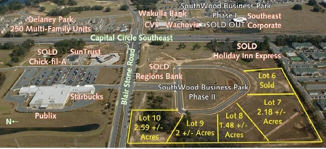
Southeast Leon County
001804
Tallahassee
25,525 SF
DEMOGRAPHICS near 1961 Quail Grove Ln
1 Mile
3 Mile
5 Mile
2024 Total Population
4,651
38,407
97,524
2029 Population
5,014
40,970
103,192
Pop Growth 2024-2029
+ 7.80%
+ 6.67%
+ 5.81%
Average Age
35
36
36
2024 Total Households
2,079
17,524
43,290
HH Growth 2024-2029
+ 7.94%
+ 6.73%
+ 6.06%
Median Household Inc
$65,067
$56,872
$51,902
Avg Household Size
2.20
2.20
2.10
2024 Avg HH Vehicles
2.00
1.00
2.00
Median Home Value
$315,885
$185,308
$207,917
Median Year Built
2008
1989
1986
Nearby Places
- Restaurants
- Banks
- Shops
- Fitness
- Groceries
PUBLIC TRANSPORTATION
AIRPORT
Tallahassee International
DRIVE
WALK
Distance
Tallahassee International
18 min
8.6 mi
Freight Ports
Port of Panama City
DRIVE
WALK
Distance
Port of Panama City
151 min
104.6 mi
Nearby Properties
Address
Land Use
TOTAL SIZE
Lot Size
Zoning
Address
Land Use
TOTAL SIZE
Lot Size
Zoning
2,322,139 SF
194.32 AC
PUD
Address
Land Use
TOTAL SIZE
Lot Size
Zoning
807,298 SF
145.81 AC
UT
Address
Land Use
TOTAL SIZE
Lot Size
Zoning
718,575 SF
47.84 AC
PUD
Address
Land Use
TOTAL SIZE
Lot Size
Zoning
602,388 SF
34.48 AC
Address
Land Use
TOTAL SIZE
Lot Size
Zoning
577,345 SF
30.63 AC
Address
Land Use
TOTAL SIZE
Lot Size
Zoning
200,705 SF
31.57 AC
Address
Land Use
TOTAL SIZE
Lot Size
Zoning
756,595 SF
18.35 AC
Address
Land Use
TOTAL SIZE
Lot Size
Zoning
494,919 SF
20.12 AC
R4
Address
Land Use
TOTAL SIZE
Lot Size
Zoning
367,539 SF
26.23 AC
CPA
Address
Land Use
TOTAL SIZE
Lot Size
Zoning
380,000 SF
21.78 AC
PUD
Address
Land Use
TOTAL SIZE
Lot Size
Zoning
399,048 SF
19.43 AC
PUD
Address
Land Use
TOTAL SIZE
Lot Size
Zoning
376,746 SF
12.92 AC
OR2
Address
Land Use
TOTAL SIZE
Lot Size
Zoning
473,339 SF
51.93 AC
PUD
Address
Land Use
TOTAL SIZE
Lot Size
Zoning
636,937 SF
20.54 AC
Address
Land Use
TOTAL SIZE
Lot Size
Zoning
737,861 SF
24.79 AC
OR2
Address
Land Use
TOTAL SIZE
Lot Size
Zoning
410,469 SF
50.04 AC
PUD
Address
Land Use
TOTAL SIZE
Lot Size
Zoning
97,373 SF
16.38 AC
PUD
Address
Land Use
TOTAL SIZE
Lot Size
Zoning
399,815 SF
18.65 AC
Address
Land Use
TOTAL SIZE
Lot Size
Zoning
619,964 SF
6.47 AC
OR3
Address
Land Use
TOTAL SIZE
Lot Size
Zoning
338,619 SF
107.89 AC
GO1
Address
Land Use
TOTAL SIZE
Lot Size
Zoning
367,311 SF
20.01 AC
PUD
Address
Land Use
TOTAL SIZE
Lot Size
Zoning
312,392 SF
14.52 AC
MR1
Address
Land Use
TOTAL SIZE
Lot Size
Zoning
196,912 SF
17.25 AC
CP
Address
Land Use
TOTAL SIZE
Lot Size
Zoning
449,952 SF
13.18 AC
AC
Address
Land Use
TOTAL SIZE
Lot Size
Zoning
500,986 SF
19.26 AC
RP2
Address
Land Use
TOTAL SIZE
Lot Size
Zoning
605,124 SF
15.72 AC
AC
Address
Land Use
TOTAL SIZE
Lot Size
Zoning
292,562 SF
26.64 AC
Address
Land Use
TOTAL SIZE
Lot Size
Zoning
394,086 SF
19.22 AC
MR1
Address
Land Use
TOTAL SIZE
Lot Size
Zoning
122,546 SF
8.82 AC
AC
Address
Land Use
TOTAL SIZE
Lot Size
Zoning
837,070 SF
24.41 AC
MR1
The World's #1 Commercial Real Estate Marketplace
Connect with us
© 2025 CoStar Group
The information above has been obtained from sources believed reliable. While we do not doubt its accuracy we have not verified it and make no guarantee, warranty or representation about it. It is your responsibility to independently confirm its accuracy and completeness. Any projections, opinions, assumptions, or estimates used are for example only and do not represent the current or future performance of the property. The value of this transaction to you depends on tax and other factors which should be evaluated by your tax, financial, and legal advisors. You and your advisors should conduct a careful, independent investigation of the property to determine to your satisfaction the suitability of the property for your needs.