Property Record
197 Northwoods Ave, Manteca, CA 95336


NEARBY LISTINGS FOR SALE OR LEASE
Property Detail
197 Northwoods Ave
Stockton-Lodi, CA
Walnut Woods
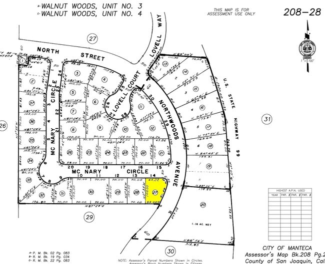
208-280-27
REDRAW 871002 FR ORIG APN 199250200
Officebuilding
San Joaquin
X
California
06077C0640F
14
2025
0.16 AC
2025
Tracy/Manteca
005140
Stockton/Modesto
1,434 SF
DEMOGRAPHICS near 197 Northwoods Ave
1 mile
3 mile
5 mile
2024 Total Population
12,836
74,336
102,037
2029 Population
13,606
78,741
107,920
Pop Growth 2024-2029
+ 6.00%
+ 5.93%
+ 5.77%
Average Age
39
38
38
2024 Total Households
4,476
23,842
32,685
HH Growth 2024-2029
+ 5.99%
+ 5.94%
+ 5.80%
Median Household Inc
$73,687
$84,375
$89,751
Avg Household Size
2.80
3.10
3.00
2024 Avg HH Vehicles
2.00
2.00
2.00
Median Home Value
$449,625
$468,175
$491,405
Median Year Built
1984
1987
1993
Nearby Places
Map Layers
Map Styles
 Street
 Aerial
Transit
 Traffic
 Biking
Places
Listings with unknown addresses are not visible on the map
- Restaurants
- Banks
- Shops
- Fitness
- Groceries
PUBLIC TRANSPORTATION
COMMUTER RAIL
Lathrop/Manteca (Altamont Corridor Express - Altamont Commuter Express (ACE))
Drive
Walk
Distance
Lathrop/Manteca (Altamont Corridor Express - Altamont Commuter Express (ACE))
11 min
6.5 mi
AIRPORT
Stockton Metro
Drive
Walk
Distance
Stockton Metro
16 min
9.5 mi
Freight Ports
Port of Stockton
Drive
Walk
Distance
Port of Stockton
24 min
17.9 mi
SALE & LEASE HISTORY
LISTING DATE
SALE/LEASE

Oct 30, 2017
For Lease
Oct 16, 2020
For Sale
Dec 10, 2017
For Sale
Nearby Properties
Address
Land Use
TOTAL SIZE
Lot Size
Zoning
Address
Land Use
TOTAL SIZE
Lot Size
Zoning
26,118 SF
10.80 AC
Address
Land Use
TOTAL SIZE
Lot Size
Zoning
552,450 SF
27.84 AC
Address
Land Use
TOTAL SIZE
Lot Size
Zoning
21,924 SF
9.27 AC
Address
Land Use
TOTAL SIZE
Lot Size
Zoning
350,415 SF
17.45 AC
Address
Land Use
TOTAL SIZE
Lot Size
Zoning
8,840 SF
7.51 AC
Address
Land Use
TOTAL SIZE
Lot Size
Zoning
286,072 SF
19.41 AC
Address
Land Use
TOTAL SIZE
Lot Size
Zoning
106,576 SF
6.85 AC
Address
Land Use
TOTAL SIZE
Lot Size
Zoning
19,912 SF
6.49 AC
C1
Address
Land Use
TOTAL SIZE
Lot Size
Zoning
608,500 SF
31.59 AC
Address
Land Use
TOTAL SIZE
Lot Size
Zoning
82,329 SF
5.96 AC
Address
Land Use
TOTAL SIZE
Lot Size
Zoning
175,025 SF
9.06 AC
Address
Land Use
TOTAL SIZE
Lot Size
Zoning
7.89 AC
Address
Land Use
TOTAL SIZE
Lot Size
Zoning
10.05 AC
Address
Land Use
TOTAL SIZE
Lot Size
Zoning
66.42 AC
AU20
Address
Land Use
TOTAL SIZE
Lot Size
Zoning
161,474 SF
10.03 AC
Address
Land Use
TOTAL SIZE
Lot Size
Zoning
116,872 SF
8.12 AC
Address
Land Use
TOTAL SIZE
Lot Size
Zoning
6,000 SF
3.96 AC
Address
Land Use
TOTAL SIZE
Lot Size
Zoning
16,000 SF
2 AC
Address
Land Use
TOTAL SIZE
Lot Size
Zoning
15.42 AC
Address
Land Use
TOTAL SIZE
Lot Size
Zoning
85,933 SF
3.32 AC
Address
Land Use
TOTAL SIZE
Lot Size
Zoning
2.98 AC
Address
Land Use
TOTAL SIZE
Lot Size
Zoning
37,020 SF
1.95 AC
Address
Land Use
TOTAL SIZE
Lot Size
Zoning
45,967 SF
26.19 AC
Address
Land Use
TOTAL SIZE
Lot Size
Zoning
129,117 SF
11.36 AC
Address
Land Use
TOTAL SIZE
Lot Size
Zoning
266,780 SF
14.24 AC
Address
Land Use
TOTAL SIZE
Lot Size
Zoning
108,000 SF
12.30 AC
Address
Land Use
TOTAL SIZE
Lot Size
Zoning
125,381 SF
11.75 AC
Address
Land Use
TOTAL SIZE
Lot Size
Zoning
1,026 SF
36.52 AC
Address
Land Use
TOTAL SIZE
Lot Size
Zoning
26,141 SF
2.80 AC
Address
Land Use
TOTAL SIZE
Lot Size
Zoning
34,960 SF
2.58 AC
The World's #1 Commercial Real Estate Marketplace
Connect with us
© 2026 CoStar Group
The information above has been obtained from sources believed reliable. While we do not doubt its accuracy we have not verified it and make no guarantee, warranty or representation about it. It is your responsibility to independently confirm its accuracy and completeness. Any projections, opinions, assumptions, or estimates used are for example only and do not represent the current or future performance of the property. The value of this transaction to you depends on tax and other factors which should be evaluated by your tax, financial, and legal advisors. You and your advisors should conduct a careful, independent investigation of the property to determine to your satisfaction the suitability of the property for your needs.